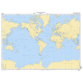
Shom raster geotiff nautical chart Planisphere
The SHOM GeoTIFF raster marine chart World Map is a digital nautical chart with very broad coverage, designed for viewing and planning navigation on a global scale. In GeoTIFF format, it reproduces the official SHOM cartographic representation as a raster image, with the hydrographic information available on the chart at its particular scale. Its georeferencing allows it to be used with navigation or charting software compatible with GeoTIFF files. This digital marine chart can be used to plan a sailing circumnavigation, visualize major ocean routes, study the world’s main maritime regions and plan voyages between different parts of the globe. However, a world map chart does not replace the detailed marine charts required for coastal navigation or port approaches. Before use, check the SHOM chart reference, scale, exact geographical coverage, resolution, coordinate system and compatibility with your navigation software. The raster format preserves the graphical presentation of official SHOM charts.

 Click here to open our interactive map and select your charts