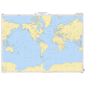
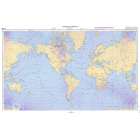
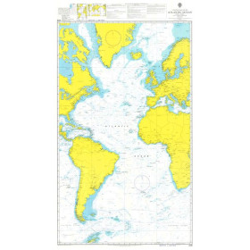
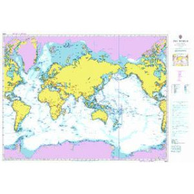
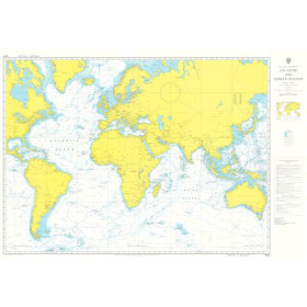
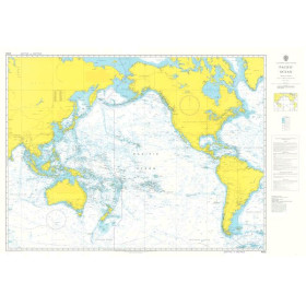
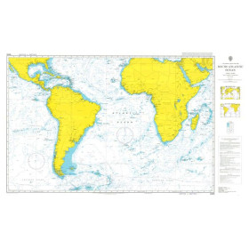
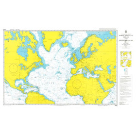
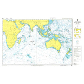
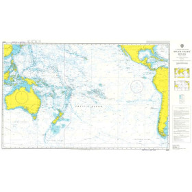
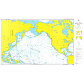
World map nautical chart
The world nautical chart represents the main oceans and seas of the world on a single document, providing an overview of major maritime routes and key sailing areas. It allows users to locate the Atlantic, Pacific, Indian, Arctic and Southern Oceans, as well as regions such as the Mediterranean, the Caribbean Sea, the Red Sea, the North Sea and the South China Sea.
A world nautical chart can be used to visualise major ocean crossings between ports such as Le Havre, Rotterdam, Lisbon, Panama, New York, Papeete, Sydney, Singapore and Cape Town. It is of interest to recreational sailors planning a circumnavigation, navigators, maritime professionals, schools and cartography enthusiasts.
Depending on the model, it may be available from recognised chart publishers and hydrographic offices such as Shom, Admiralty or Imray. It is also a practical resource for understanding major ocean routes and planning an offshore sailing project.

 Click here to open our interactive map and select your charts