I am looking for a digital nautical chart
Are you looking for a digital nautical chart to plan and make your navigation safer? Nautic Way offers a selection of electronic charts compatible with different navigation systems and marine navigation software. Find digital nautical charts from SHOM, Admiralty, Navionics, C-MAP and other specialist chart publishers, covering major cruising and navigation areas in France, Europe and worldwide. Depending on your equipment, you can choose an electronic chart for a GPS chartplotter, chart reader, navigation software or onboard computer. Whether raster or vector, each solution meets specific requirements for accuracy, coverage and chart updates. To choose the right digital nautical chart, first select your chartplotter, navigation system and the format compatible with your equipment. Nautic Way helps you choose the digital marine cartography best suited to your boat and your navigation plans.

 Click here to open our interactive map and select your charts


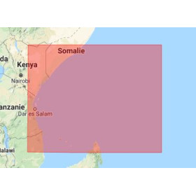
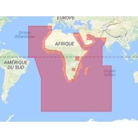
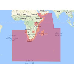

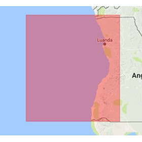
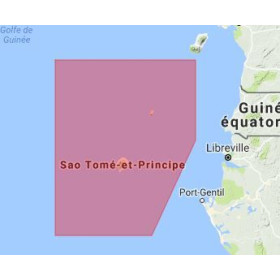
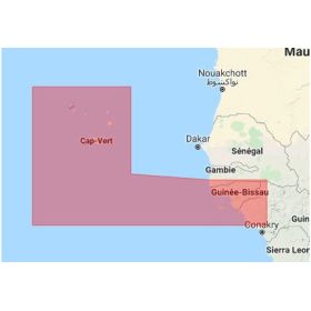
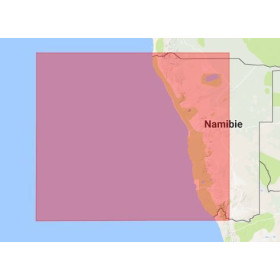

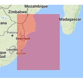





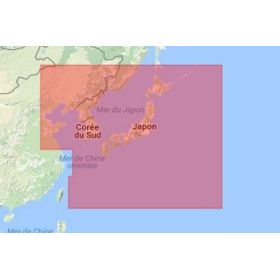
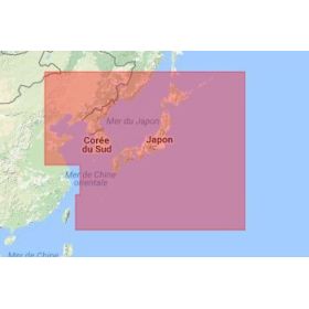
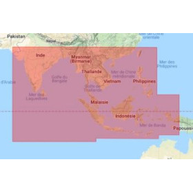
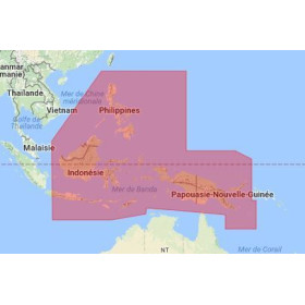
Digital Nautical Charts: The Essential Tool for Safe and Modern Navigation
A Trusted companion for Confident Sailing
Navigating with confidence requires careful preparation and reliable tools. Today, the digital nautical chart has become an essential companion for all sailors and boating enthusiasts. It represents the modern evolution of the traditional marine chart, combining precision, practicality, and technology to enhance safety and enjoyment at sea. With it, navigation becomes more intuitive, faster, and safer, while maintaining the rigor and methods of long-standing maritime traditions.
Accurate and Continuously Updated Information
The digital nautical chart provides a detailed representation of coastal and offshore areas. It compiles an impressive amount of essential information for navigation: water depths, buoys, lighthouses, ports, anchorages, restricted zones, currents, and potential hazards. These data, sourced from official hydrographic services such as Shom, the Admiralty, or NOAA, are regularly updated to ensure maximum accuracy. For sailors, having a reliable digital nautical chart means navigating with complete peace of mind, whether along the coast or on offshore passages.

Perfect Integration with Modern Navigation Systems
One of the major advantages of the digital nautical chart lies in its compatibility with modern navigation systems. Whether displayed on a GPS plotter, a computer using routing software, or an ECDIS for commercial maritime professionals, it provides real-time visualization and allows users to track the vessel’s position on the screen. The user can plan routes, measure distances, anticipate course changes, and identify hazardous areas at a glance. Thanks to zoom functionality and interactive layers, the digital nautical chart transforms navigation into a dynamic and adaptive tool.
An Easy, Intuitive, and Accessible Tool
Ease of use is another major strength. Digital charts from Navionics, C-MAP, or NV Charts cover all the world’s seas and oceans. Users can visualize their routes, add waypoints, check marine weather, and even share their tracks with fellow sailors. These connected tools simplify trip planning and optimize decision-making during navigation. The digital nautical chart becomes a true onboard assistant—intuitive, responsive, and accessible to everyone.
Complementarity Between Paper and Digital Charts
The digital nautical chart does not entirely replace the paper nautical chart—it complements it. Maritime authorities recommend always keeping an up-to-date paper chart onboard. In case of electrical failure, GPS malfunction, or software issue, the paper chart remains the last resort. However, in most situations, the digital chart serves as the main navigation tool, especially for sailors equipped with waterproof tablets or multifunction displays.
Readability and Ergonomics Designed for the Sea
Digital charts stand out for their readability and ergonomic design. Colors, symbols, and reliefs are optimized for screen visibility, even in bright sunlight. Dangerous areas, channels, depths, and landmarks are clearly distinguished through harmonized graphical coding. This clarity is especially appreciated when sailing in new or unfamiliar areas.
Enhanced Safety with Real-Time Data
Linked to a GPS, the digital nautical chart displays the vessel’s exact position, speed, and heading in real time. Some systems can anticipate drift caused by wind or current and calculate the distance to the nearest port. At night, lighthouses and beacons appear with their actual light characteristics. These features significantly reduce human error and increase navigational safety.
Universal Standards for Global Use
Digital nautical charts follow international standards set by the International Hydrographic Organization (IHO). Symbols, depths, and colors retain the same meanings worldwide. A French sailor can easily read a digital chart in Norway, Greece, or the Caribbean without any confusion. This harmonization improves safety and facilitates international navigation.
A Valuable Tool for Voyage Planning
Before even leaving port, the digital nautical chart allows sailors to plot their course, identify hazardous zones, locate sheltered anchorages, and estimate travel times. Some software integrates live weather modules displaying wind direction and strength, wave height, and tide forecasts. Combined, these features provide a complete overview of maritime conditions, helping sailors choose the best time to set sail.
A New Way to Experience the Sea
Beyond technology, the digital nautical chart represents a new approach to sailing. It simplifies learning and builds confidence for beginners. Sailing schools now include digital charts in their training programs, alongside paper chart exercises, to familiarize students with modern navigation tools.
Specialized Publishers Serving Mariners
Leading providers such as Navionics, Navionics, C-MAP, NV Charts, Garmin BlueChart offer solutions tailored to all needs. These companies collaborate with national hydrographic services to ensure data accuracy and reliability while providing user-friendly and customizable interfaces.
An Interactive Digital Logbook
For cruising enthusiasts, the digital nautical chart becomes a genuine logbook. It allows users to record routes, stops, favorite anchorages, and even add photos or notes. This data can be shared with other sailors, fostering a connected and collaborative maritime community.
Advanced Features for Greater Safety
By integrating proximity alerts, shallow-water alarms, and collision warnings, digital nautical charts actively enhance safety. When connected to an AIS (Automatic Identification System), they display other vessels’ positions in real time, reducing the risk of collision. Combined with GPS precision, these features offer an unprecedented level of navigational security.
Flexible and Responsive Navigation
Changing a course, adding a waypoint, or recalculating a route can be done in seconds. This flexibility is crucial when adapting to changing weather or unexpected events. The digital nautical chart offers total freedom while ensuring complete control of navigation.
Between Tradition and Innovation
While symbolizing modernity, the digital nautical chart remains faithful to the spirit of traditional navigation. It does not replace a sailor’s experience—it enhances it. By combining passion for the sea with technological precision, it allows sailors to navigate responsibly and confidently.
An Essential Tool for Modern Navigation
Indispensable for all sea lovers, the digital nautical chart accompanies sailors on every adventure—from coastal cruising to ocean crossings. Thanks to regular updates and high-quality hydrographic data, it offers the best guarantee of reliability and performance for safe and enjoyable navigation.
A Gentle Revolution in Maritime Navigation
The digital nautical chart is not just a technical tool—it’s a quiet revolution in the way people sail. By blending tradition with innovation, it marks a new era in yachting, combining passion, precision, and sustainability.
Sales and Update Conditions
All nautical charts—paper or digital—are produced on demand and include the latest available updates. In accordance with Article L221-28 of the French Consumer Code, the right of withdrawal does not apply to goods that may quickly become outdated. Therefore, all orders are considered final upon customer confirmation, as specified in the general terms of sale.