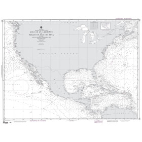
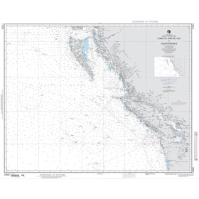
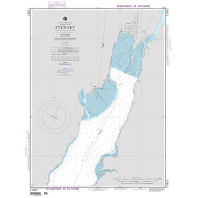
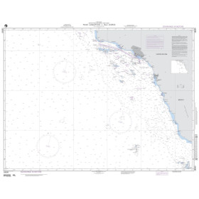
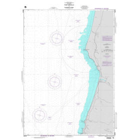
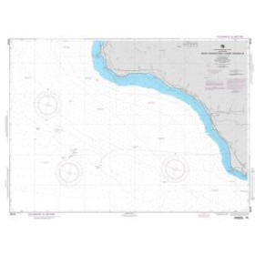
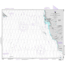
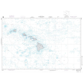
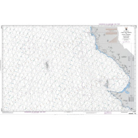
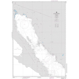
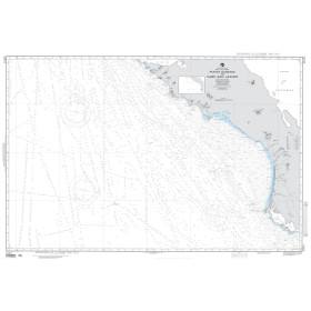
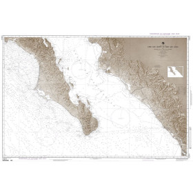
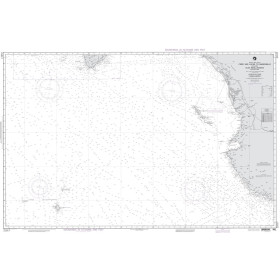
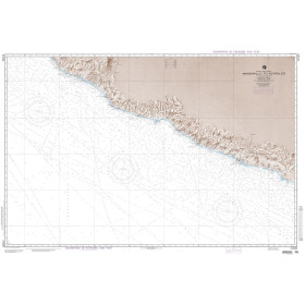
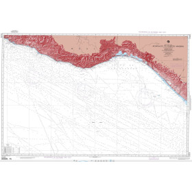
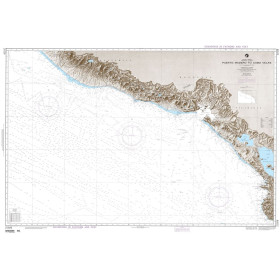
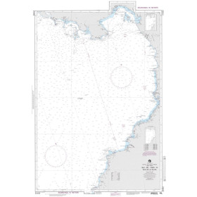
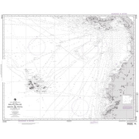
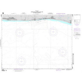
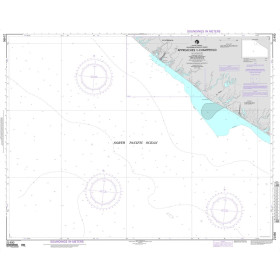
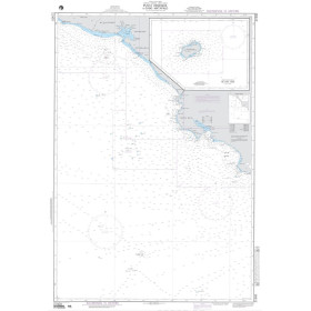
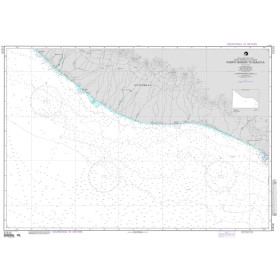
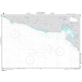
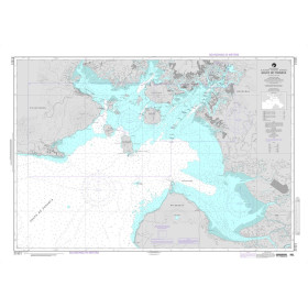
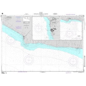
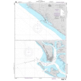
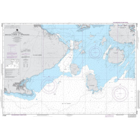
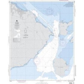
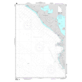
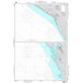
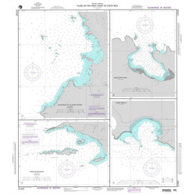
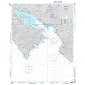
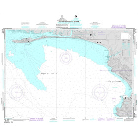
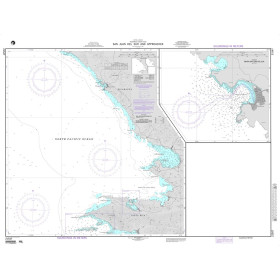
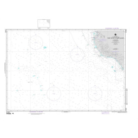
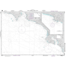
NGA nautical chart Pacific ocean
NGA nautical charts of the Pacific Ocean are essential nautical documents for planning and securing navigation in Pacific waters. They cover ocean routes, coastal areas, port approaches and strategic maritime zones, with information on depths, hazards, shoals, wrecks, aids to navigation and maritime infrastructure. These NGA nautical charts are particularly suitable for offshore sailors, professional mariners, commercial shipping, military vessels, fishermen and long-distance sailors. They effectively complement electronic charts and other official nautical publications when planning a Pacific crossing, selecting a route and ensuring reliable charting documentation is available on board.
Paper nautical chart by publisher (151 products)

 Click here to open our interactive map and select your charts
Vue carte
Vue liste
151 produits correspondent à vos critères.
Effacer
Vue carte
Vue liste
151 produits correspondent à vos critères.