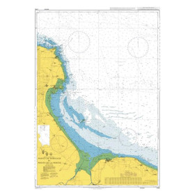
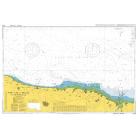
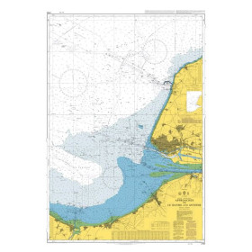
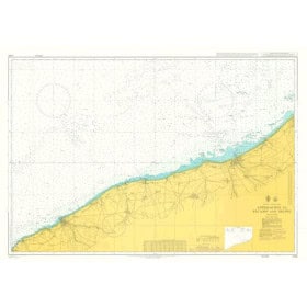
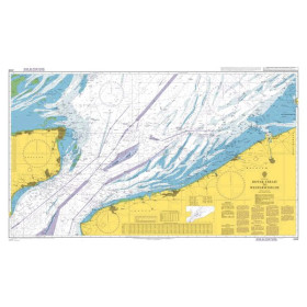
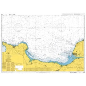
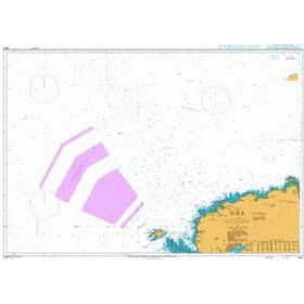
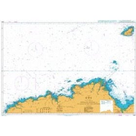
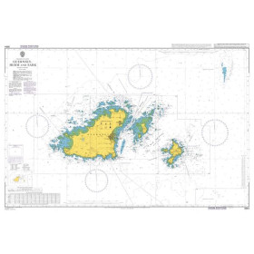
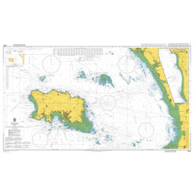
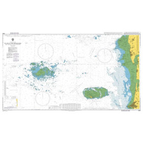
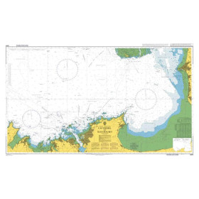
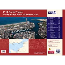
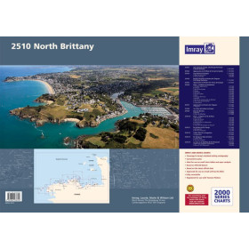
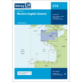
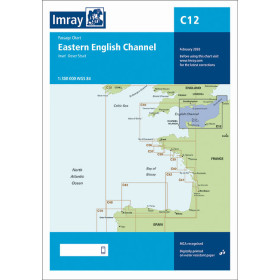
I am sailing in France - English Channel
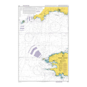
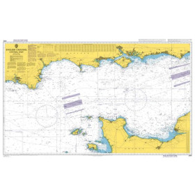
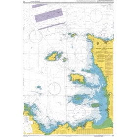
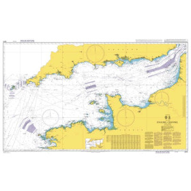
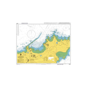
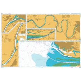
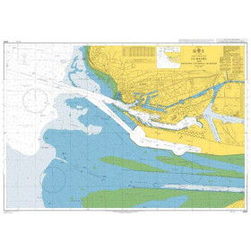
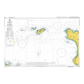
I Sail in… is the Nautic Way section dedicated to navigation planning by maritime area: English Channel, Celtic Sea, North Sea, Atlantic Ocean, Mediterranean Sea, Adriatic Sea, Aegean Sea, Baltic Sea, Caribbean, Gulf of Mexico, Red Sea, Gulf of Aden, Arabian Sea, Indian Ocean and Pacific Ocean. Prepare your sailing routes to Brest, Saint-Malo, Cherbourg, Le Havre, Marseille, Toulon, Nice, Barcelona, Palma de Mallorca, Genoa, Venice, Split, Dubrovnik, Bergen, Rotterdam, Las Palmas, Mindelo, Fort-de-France, Pointe-à-Pitre or Papeete. Depending on the region, nautical charts may be produced by Shom, Admiralty, Imray, NV Charts, NOAA or national hydrographic offices. This destination-based organisation addresses searches for nautical charts for coastal navigation, offshore passages, transatlantic voyages or island sailing, while taking into account currents, tides, depths, hazards, buoyage and the hydrographic characteristics of each maritime area.

 Click here to open our interactive map and select your charts