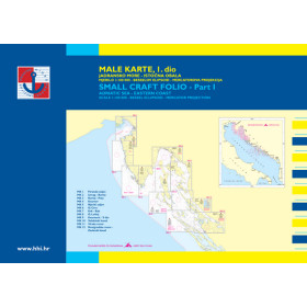
Hrvatski Hidrografski Institut nautical chart
With more than 6,000 kilometres of coastline and a chain of over 1,200 islands, islets and reefs, Croatia is one of Europe’s most popular and complex sailing areas. The charts produced by the Hrvatski Hidrografski Institut (HHI), the official Croatian hydrographic authority based in Split since 1948, are available in two major folios: “Small Charts of Croatia 1” (from Trieste to Zadar) and “Small Charts of Croatia 2” (from Zadar to Ulcinj). Each folio provides detailed information on depths in metres, comprehensive aids to navigation, coastline characteristics, port infrastructure and regulated areas, including national parks and anchoring restrictions, in accordance with International Hydrographic Organization (IHO) standards. These charts are essential for leisure sailors and skippers navigating between the Croatian archipelagos, charter and boat-rental companies—given that the Adriatic is one of the world’s leading recreational boating areas—and professional mariners involved in commercial shipping. They benefit from regular updates through Notices to Mariners.

 Click here to open our interactive map and select your charts