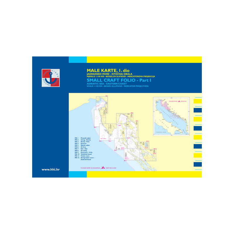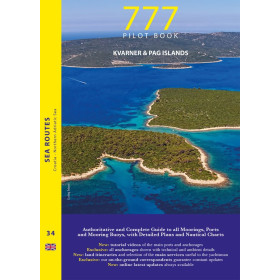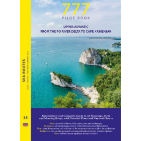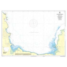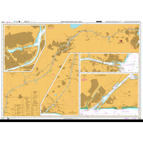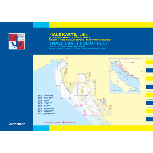


Hrvatski Hidrografski Institut - nautical chart - Croatia male 1 - Adriactic Sea, eastern coast - Trieste to Zadar
search
  • googlemap
  • Hrvatski Hidrografski Institut - nautical chart - Croatia male 1 - Adriactic Sea, eastern coast - Trieste to Zadar
  • Hrvatski Hidrografski Institut - nautical chart - Croatia male 1 - Adriactic Sea, eastern coast - Trieste to Zadar

Nautical chart Hrvatski Hidrografski Institut - Croatia male 1 - Adriactic Sea, eastern coast - Trieste to Zadar

€119.85
Tax included
HHI - Hrvatski Hidrografski Institut
Folio paper chart In English language
Estimated preparation time: 5 to 14 days
Nautical chart Hrvatski Hidrografski Institute composed of several sheets both sides, for a total of 10 to 20 nautical charts.
YOT2090

Data sheet

What is the classification?
nautical chart
Who is the publisher or the author?
Hrvatski Hidrografski Institut
What type of nautical chart is this?
navigation chart
What is this nautical chart used for?
recreational
For what type of navigation is this chart suitable?
folio (multiple charts at different scales)
What is the geographical navigation area of ​​this nautical chart?
Adriatic Sea
Along the coast of which country is this nautical chart located?
Croatia
On what digital medium is this nautical chart / book stored?
paper medium
What type of format does this paper nautical chart have?
folio chart
From which year does this nautical chart date?
Chart printed or programmed upon order, incorporating the latest updates
What is the scale of this nautical chart?
Folio
Picto
Folio paper chart
In English language

Specific References

UPC
400000131108
EAN13
4000000130963
New
Description détaillée

We strive to only release the latest versions with updates.

The Hrvatski Hidrografski Institute marine charts have the unit of measurement per meter.

The pack:
- Pack of 10 to 20 nautical charts
- The pack consists of a dozen sheets of front and back, for a total of 10 to 20 nautical charts on the navigation area: from detailed charts of marinas, anchorages, to large-scale crossing maps.

The paper:

Reprinting and updating:
To facilitate their updating, the Hrvatski Hidrografski Institute charts are the subject of a marine chart taking into account the corrections published by notice, it is printed periodically to integrate the latest updates. The year of the drawing of the chart is worn on it.

  • Chart category: coastal
  • Ellipsoid: Bessel
  • Projection: Mercator
  • Format: A2

The pack:

  • MK-01 Tr?canski zaljev
  • MK-02 Umag - RovinjMK-03 Rovinj - Pula
  • MK-03 Rovinj - Pula
  • MK-04 Kvarner
  • MK-05 Rijecki zaljev
  • MK-06 Otok Cres
  • MK-07 Krk - Rab
  • MK-08 O. Lo?inj
  • MK-09 Kvarneric - S dio
  • MK-10 Velebitski kanal
  • MK-11 Virsko more
  • MK-12 Novigradsko more - Zadarski kanal
Loading...