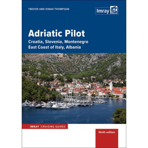




Cruise the Adriatic with this complete guide to Croatia, Slovenia, Montenegro, Italy’s east coast, and Albania. Features updated marinas, anchorages, and navigation tips for every sailor.
Data sheet
Specific References
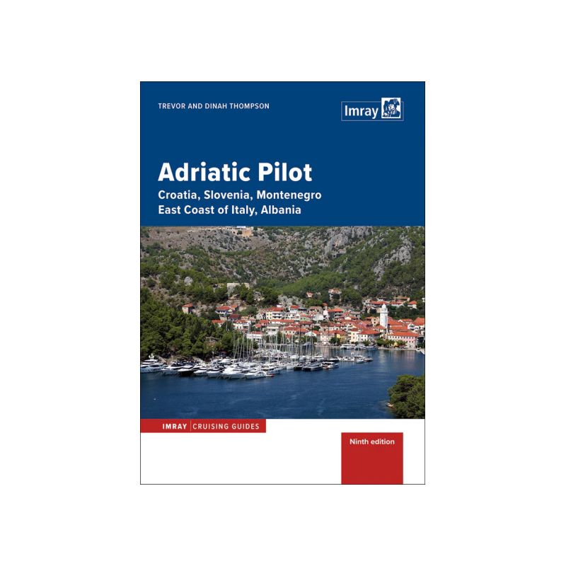
Navigate the stunning waters of the Adriatic Sea with confidence using this comprehensive sailing guide, the definitive resource for boaters exploring Croatia, Slovenia, Montenegro, the east coast of Italy, and Albania. Designed for both casual charterers and long-distance cruisers, this guide delivers unparalleled coverage of one of Europe’s most sought-after sailing destinations. With over three decades of trusted expertise, it remains the only single-volume guide to span the entire region—from the southern shores of Albania and Italy’s heel to the northern reaches of Venice and Slovenia.
This 8th edition, fully revised in 2020, offers the latest information on marinas, visitor berths, anchorages, and their facilities, ensuring you have access to current and reliable data. Whether you’re seeking a safe harbor for the night or a secluded bay to drop anchor, the guide provides precise coordinates, updated charts, and practical insights to simplify your journey. Enhanced with new photographs—particularly for the Italian coast and Venice Lagoon—it helps you recognize landmarks and navigate with ease.
More than just a navigational tool, this guide enriches your sailing experience with historical context and recommendations for onshore exploration. Discover hidden gems, cultural highlights, and local attractions that bring each destination to life. The inclusion of detailed plans and visual aids ensures you can confidently approach unfamiliar ports and anchorages, while the accompanying Imray charts for the Dalmatian coast provide an extra layer of precision.
Authored by Trevor and Dinah Thompson, seasoned sailors with deep knowledge of the Adriatic, this guide reflects a passion for the region and a commitment to sharing its beauty. The hardcover format ensures durability, making it ideal for use on deck or in the cockpit. With 540 pages of expertly curated content, it’s a resource you’ll return to time and again, whether planning your route or making spontaneous decisions on the water.
Complementing the printed guide, a free download of digital charts for the Imray Navigator app allows you to sync your planning with modern technology. This hybrid approach bridges the gap between traditional navigation and digital convenience, giving you the best of both worlds as you explore the Adriatic’s diverse coastlines.
Unlock the Adriatic’s Hidden Treasures
Embark on your Adriatic adventure with this all-in-one sailing guide, the most trusted resource for boaters navigating Croatia, Slovenia, Montenegro, Italy’s east coast, and Albania. Covering over 1,000 nautical miles of coastline, this guide is your key to discovering secluded coves, vibrant marinas, and historic ports—all while ensuring safe and efficient passage. Whether you’re a first-time charterer or a seasoned cruiser, its detailed insights and practical advice make it an indispensable tool for any voyage.
Precision Navigation for Every Sailor
With 540 pages of meticulously updated content, this guide leaves no stone unturned. It includes the latest information on marinas, visitor berths, and anchorages, complete with facility details to help you plan stops with confidence. Updated charts and coordinates ensure accurate navigation, while new photographs—especially for the Italian coast and Venice Lagoon—provide visual references to simplify your approach. The guide’s comprehensive coverage spans from the southern tip of Albania to the northern waters of Slovenia, making it the only single-volume resource of its kind.
More Than Just a Navigational Aid
Beyond its practical navigation tools, this guide enriches your journey with historical context and onshore exploration tips. Learn about the region’s cultural heritage, uncover hidden gems, and plan unforgettable excursions ashore. The inclusion of Imray’s Dalmatian coast charts and a free digital chart download for the Imray Navigator app further enhances its utility, blending traditional and modern navigation methods for a seamless experience.
Built for the Demands of the Sea
Crafted by experienced sailors, this hardcover guide is designed to withstand the rigors of life on the water. Its durable construction ensures it remains a reliable companion, whether you’re referencing it in the cockpit or planning your next move below deck. With contributions from Trevor and Dinah Thompson, whose expertise is woven into every page, it’s a resource you can trust for both short trips and extended cruises.
This 8th edition guide, published in 2020, features a hardcover binding for durability, with 540 pages of detailed content. Weighing 2260 grams, it includes updated charts, coordinates, and photographs for the Adriatic region, covering latitudes from 39.6°N to 46.1°N and longitudes from 11.4°E to 20.6°E. Authored by Trevor and Dinah Thompson, it is written in English and includes a free download of digital charts for the Imray Navigator app.
With a legacy spanning over a century, this publisher is renowned for producing high-quality nautical guides and charts trusted by sailors worldwide. Their expertise in maritime navigation is reflected in meticulously researched and regularly updated publications, designed to meet the needs of both recreational and professional boaters. Combining traditional craftsmanship with modern technology, their guides are a benchmark for accuracy and reliability in the sailing community.
The guide provides four detailed chapters specifically for Croatia, along with comprehensive coverage of Slovenia, Montenegro, the east coast of Italy (including Venice Lagoon and Istrian ports), and Albania.
Yes, the 8th edition (2020) includes fully revised and updated information on marinas, visitor berths, anchorages, and their facilities.
Yes, it provides historical context along with details for onshore visits to enhance exploration.
Yes, the guide features updated charts, numerous photographs for orientation, and inspiration, including a new set for the Italian coast and Venice Lagoon.
The guide weighs 2260 grams.
Yes, it includes a free download of digital charts for use with the Navigator app.
The 8th edition contains 540 pages.
You might also like














![Greece sea guide - vol I - Saronic and Argolic gulfs, Cyclades, Crete [Eagle Ray]](https://www.nautic-way.com/98226-home_default/pil3201-greece-sea-guide-vol-i-saronic-and-argolic-gulfs-cyclades-crete-eagle-ray.jpg)
![Greece sea guide - vol II - Evvoia, Sporades, north Aegean [Eagle Ray]](https://www.nautic-way.com/90781-home_default/pil3202-greece-sea-guide-vol-ii-evvoia-sporades-north-aegean-eagle-ray.jpg)
![Greece sea guide - vol III - Ionian Sea, Peloponnisos (except e ast coast) [Eagle Ray]](https://www.nautic-way.com/90782-home_default/pil3201-greece-sea-guide-vol-i-saronic-and-argolic-gulfs-cyclades-crete-eagle-ray.jpg)
![Greece sea guide - vol IV - eastern Aegean, Dodecanese [Eagle Ray]](https://www.nautic-way.com/90784-home_default/pil3204-greece-sea-guide-vol-iv-eastern-aegean-dodecanese-eagle-ray.jpg)