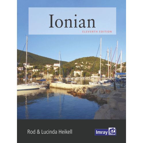




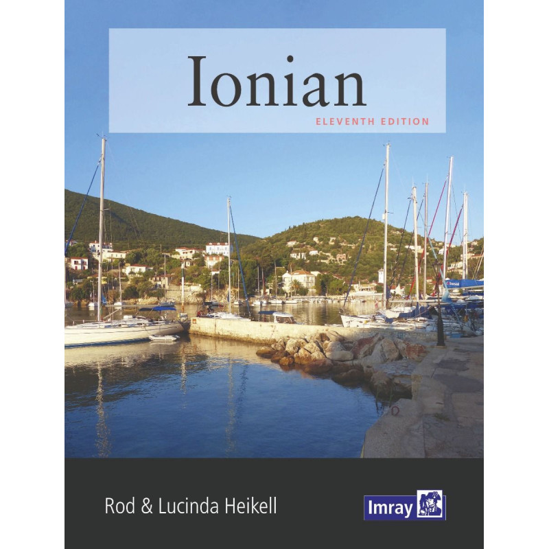
Navigate the Ionian coast and islands with confidence using this comprehensive guide. Updated with new photos, port plans, and local insights for a seamless sailing experience.
Data sheet
Specific References
Navigate the Ionian Sea with Confidence and Ease
Discover the Ionian Nautical Guide, your ultimate companion for exploring the breathtaking waters of the Ionian Sea. This 10th edition, published in 2020, is the most up-to-date resource available, offering unparalleled insights into the region’s coastline, islands, and hidden gems. Whether you're planning a short charter, joining a flotilla, or embarking on a long-term cruise, this guide provides everything you need to navigate with precision and confidence.
Expertly Crafted for Sailors of All Levels
Written by renowned sailing experts Rod and Lucinda Heikell, this guide is designed to meet the needs of both novice and experienced sailors. It covers the Ionian Sea from Corfu in the north to Finakounda in the south, and eastward to Mesolongion, offering detailed information on ports, anchorages, and small harbors that are often overlooked in other guides. With updated charts, aerial photographs, and precise piloting instructions, you’ll have all the tools you need to explore this stunning region safely and efficiently.
More Than Just a Navigation Tool
Beyond its practical navigation advice, the Ionian Nautical Guide enriches your sailing experience with historical and cultural anecdotes that bring the Ionian’s unique charm to life. Praised for its clarity, this guide features intuitive port plans, high-quality aerial photos, and well-organized sections, ensuring you can quickly find the information you need. Its compact, paperback format is designed for easy handling on board, while its durable construction ensures it stands up to the demands of life at sea.
Trusted by Sailors for Over a Decade
Now in its 10th edition, this guide has been fully updated to reflect the latest changes in the region, including new photos and revised information. It’s the go-to resource for sailors who want to make the most of their time in the Ionian, offering a perfect blend of practical advice and local knowledge. Whether you're docking in a bustling port or anchoring in a secluded cove, this guide ensures you’re always prepared.
The Ionian Nautical Guide is a paperback publication, now in its 10th edition, released in 2020. Measuring 9.6 x 7.5 inches and weighing 1.2 kg, it’s designed for easy handling on board. Written in English by Rod and Lucinda Heikell, this guide covers the Ionian Sea’s latitudes from 36.409°N to 39.947°N and longitudes from 19.234°E to 21.954°E, providing comprehensive coverage of the region’s coastline and islands.
For decades, this publisher has been a trusted name in nautical guides, renowned for delivering high-quality, reliable resources for sailors. Their guides are crafted by experienced mariners and updated regularly to ensure accuracy and relevance, making them indispensable tools for both recreational and professional sailors navigating the world’s most popular cruising destinations.
The guide covers the Ionian coast and islands from Corfu in the south to Finakounda, and east to Mesolongion, including detailed information on small anchorages and ports.
Yes, the 10th edition includes new photos to illustrate recent changes in the covered areas.
The guide measures 9.6 x 7.5 inches and weighs 1.2 kg.
Yes, it provides historical and cultural anecdotes alongside essential navigation information.
Yes, it is designed for short-term charter or flotilla sailors as well as long-term cruisers seeking detailed piloting information.
The guide features port plans, aerial photos, and detailed maps for navigation.
The guide covers latitudes from approximately 36.4°N to 39.9°N and longitudes from 19.2°E to 22.0°E.
You might also like













![Greece sea guide - vol I - Saronic and Argolic gulfs, Cyclades, Crete [Eagle Ray]](https://www.nautic-way.com/98226-home_default/pil3201-greece-sea-guide-vol-i-saronic-and-argolic-gulfs-cyclades-crete-eagle-ray.jpg)
![Greece sea guide - vol II - Evvoia, Sporades, north Aegean [Eagle Ray]](https://www.nautic-way.com/90781-home_default/pil3202-greece-sea-guide-vol-ii-evvoia-sporades-north-aegean-eagle-ray.jpg)
![Greece sea guide - vol III - Ionian Sea, Peloponnisos (except e ast coast) [Eagle Ray]](https://www.nautic-way.com/90782-home_default/pil3201-greece-sea-guide-vol-i-saronic-and-argolic-gulfs-cyclades-crete-eagle-ray.jpg)
![Greece sea guide - vol IV - eastern Aegean, Dodecanese [Eagle Ray]](https://www.nautic-way.com/90784-home_default/pil3204-greece-sea-guide-vol-iv-eastern-aegean-dodecanese-eagle-ray.jpg)