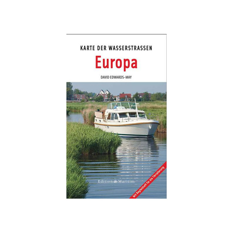



Navigate Europe’s waterways with this 2025 folded nautical map. Covers all inland routes at scales from 1:1M to 1:4M, plus a 64-page guide with lock data, bridge heights, and speed limits.
Data sheet
Specific References
Master Europe’s Inland Waterways with the Ultimate Navigation Tool
Planning a journey across Europe’s rivers and canals? The European Inland Waterways Map is your go-to resource for seamless navigation, offering unparalleled detail and practical insights. Designed for boaters, travelers, and logistics professionals, this paper map and guidebook combination provides everything you need to explore Europe’s vast network of waterways with confidence. From the bustling canals of the Netherlands to the serene rivers of Eastern Europe, this map ensures you’re always on the right course.
Precision Mapping for Every Leg of Your Journey
This map stands out with its multi-scale approach, featuring a highly detailed 1:1,500,000 view of Central Europe and a broader 1:4,000,000 overview of the continent. Additional scales, such as 1:1,000,000 and 1:3,700,000, offer even more granularity for specific regions, ensuring you have the right level of detail at every stage of your trip. The folded paper format, measuring 18.1 x 29.4 cm, is compact and easy to handle, making it perfect for use on board or during planning sessions.
Comprehensive Nautical Data for Safe and Efficient Travel
Beyond its cartographic excellence, this map includes a 64-page booklet packed with essential nautical information. Inside, you’ll find details on over 78 locks, bridge clearances, speed limits, and contact information for waterway authorities. This data is crucial for avoiding obstacles, planning fuel stops, and ensuring compliance with local regulations. The booklet also features photos and illustrations, providing visual references to help you recognize key landmarks and navigate with ease.
Built for Durability and Convenience
Weighing just 1.6 kg, this map and guidebook set is lightweight yet durable, designed to withstand the rigors of life on the water. The paper map is folded for easy storage and quick access, while the accompanying booklet is securely housed in a protective sleeve. Whether you're a seasoned boater or a first-time explorer, this tool is built to support your adventures across Europe’s most iconic waterways.
This updated 2025 edition of the European Inland Waterways Map features a multi-scale design, including a 1:1,500,000 detailed map of Central Europe and a 1:4,000,000 overview of the continent. Additional scales, such as 1:1,000,000 and 1:3,700,000, provide enhanced detail for specific regions. The folded paper map measures 18.1 x 29.4 cm and is accompanied by a 64-page booklet containing 78 photos and illustrations, along with critical nautical data on locks, bridges, and waterway authorities.
With decades of expertise in cartography and navigation, this publisher is renowned for producing high-quality maps and guides tailored to the needs of boaters and travelers. Their products are trusted by professionals and enthusiasts alike for their accuracy, durability, and practicality, making them a go-to resource for exploring Europe’s waterways.
The detailed central Europe map section is at a scale of 1:1,500,000.
The accompanying booklet contains 64 pages.
The booklet provides data on locks, bridge clearance heights, speed limits, and addresses of waterway authorities.
The folded map measures 18.1 x 29.4 cm.
Yes, it is also available in French and English versions.
The product weighs 1.6 kg.
Yes, the booklet includes 78 photos and illustrations.