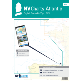
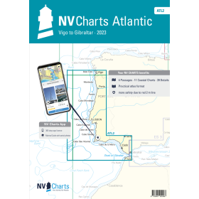
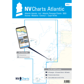
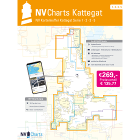
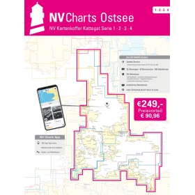
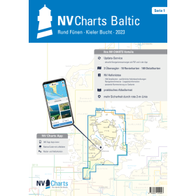
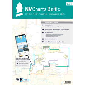
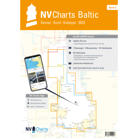
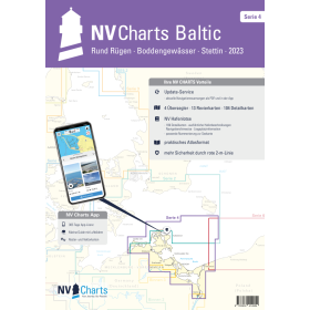
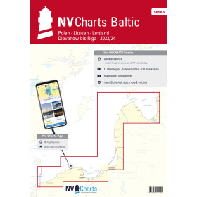
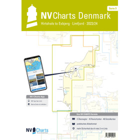
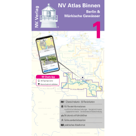
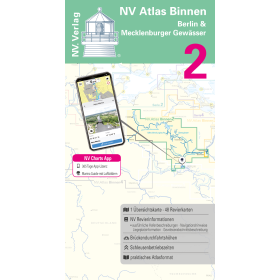
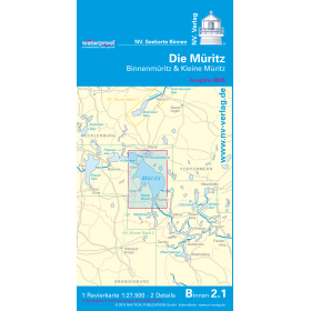
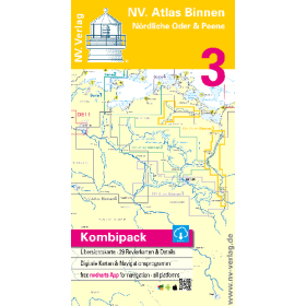
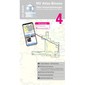
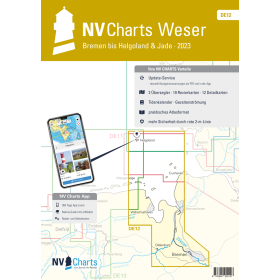
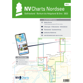
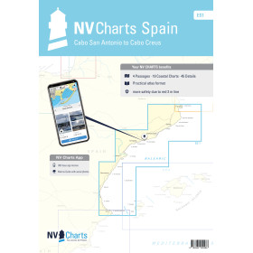
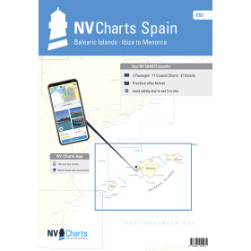
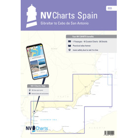
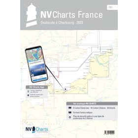
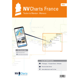
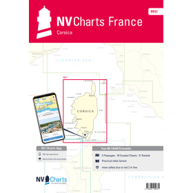
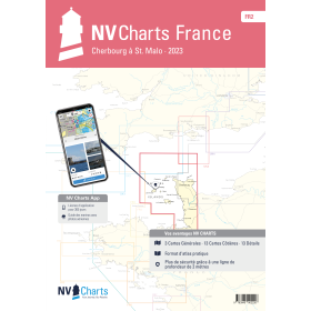
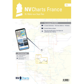
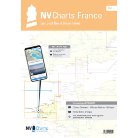
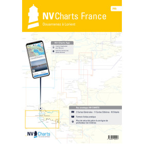
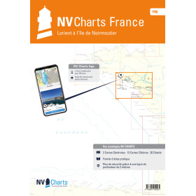
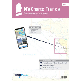
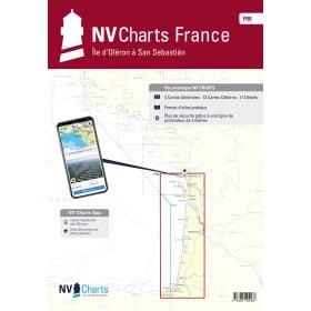
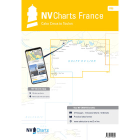
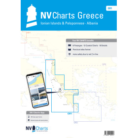
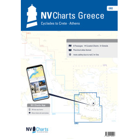
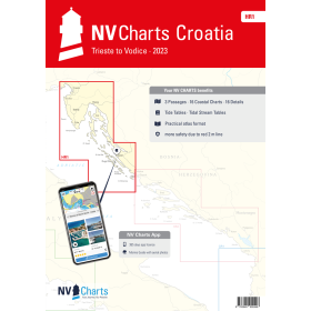
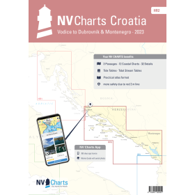
NV Charts nautical chart
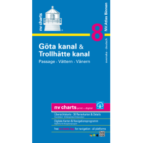
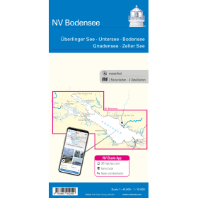
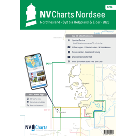
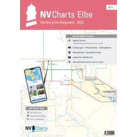
NV Charts nautical charts stand out through their unique hybrid approach: each package includes the paper chart in folio format, its downloadable digital version and a dedicated application that can be installed on up to 5 devices simultaneously (PC, Mac, tablet and smartphone), with automatic synchronisation every 15 minutes, as well as the NV Charts Navigator Light software at no additional cost. Nautic Way, an authorised NV Charts agent, offers a wide range of charts covering the Atlantic, the English Channel, the Mediterranean, the North Sea, the Baltic Sea and the Caribbean, available in three formats: folios combining several scales to cover a complete sailing area, folded charts and Pilot charts for longer offshore passages (Pilot 5 for the North Atlantic). Each folio provides detailed information on seabed features, aids to navigation, hazards and harbour infrastructure, supported by colour-coded visual references and scale tabs. For the French coast, the FR series is the key reference, including FR 1 from Dunkirk to Cherbourg and FR 11 for Corsica.

 Click here to open our interactive map and select your charts