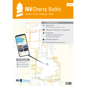
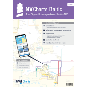
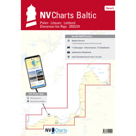
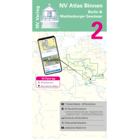
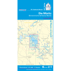
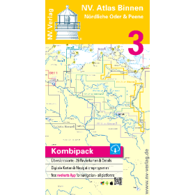
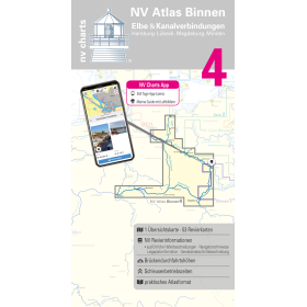
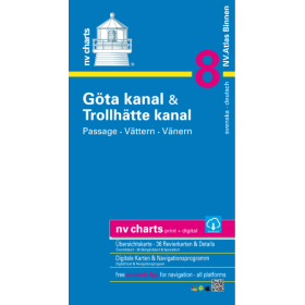
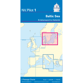
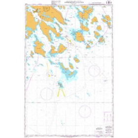
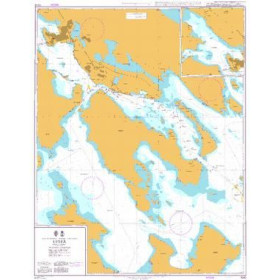
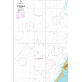
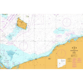
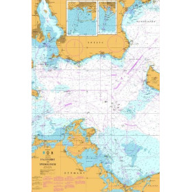
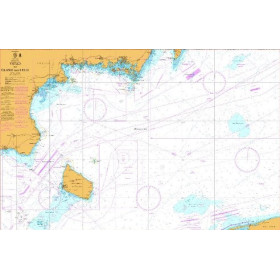
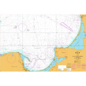
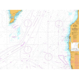
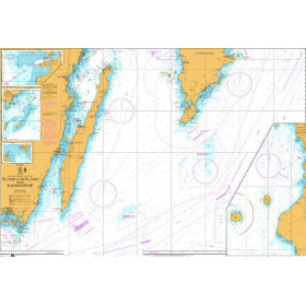
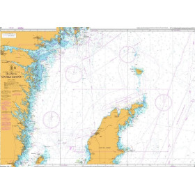
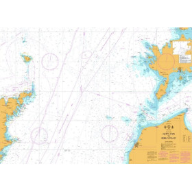
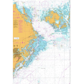
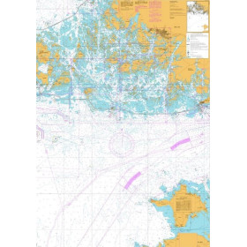
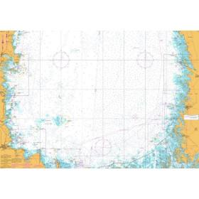
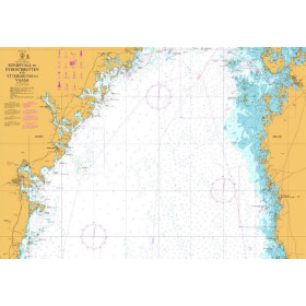
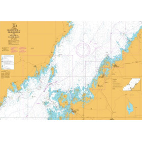
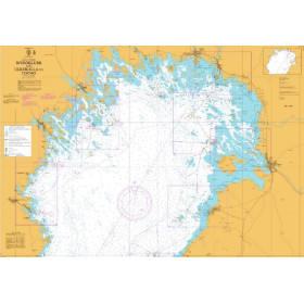
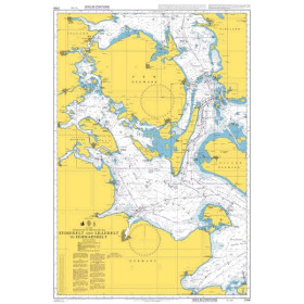
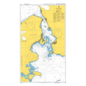
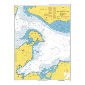
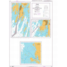
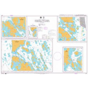
Nautical chart for the Baltic Sea
Are you looking for a paper nautical chart of the Baltic Sea to plan a cruise or coastal voyage in Northern Europe? This selection covers the main sailing areas of the Baltic, including the coasts of Sweden, Finland, Estonia, Latvia, Lithuania, Poland, Germany and Denmark. Explore the approaches to the ports of Stockholm, Helsinki, Tallinn, Riga, Klaipėda, Gdańsk, Gdynia, Rostock, Lübeck and Copenhagen. Admiralty charts provide international coverage of the Baltic Sea, while Imray and NV Charts complement nautical charting for many recreational sailing areas. Official charts from Scandinavian, German and Baltic hydrographic services can also be used to plan your route. Whether you are sailing in the Stockholm archipelago, the Gulf of Finland, the Gulf of Bothnia or towards the Danish Straits, choose a Baltic Sea nautical chart suited to your sailing area, itinerary and required scale.

 Click here to open our interactive map and select your charts