



Master coastal navigation in the Gulf of Mexico, Puerto Rico, and the Virgin Islands with this 2021 guide. Includes vital data on channels, tides, hazards, and federal rules for seamless sailing.
Data sheet
Specific References
Navigate the Gulf of Mexico, Puerto Rico, and the Virgin Islands with Precision
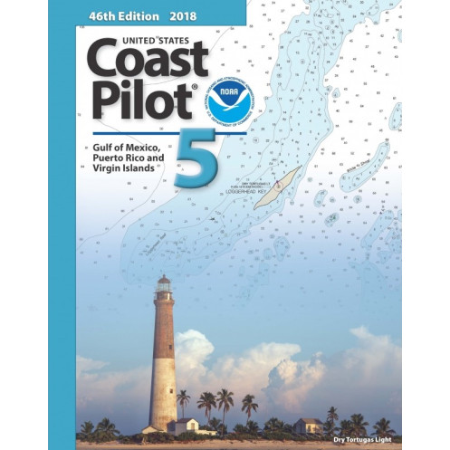
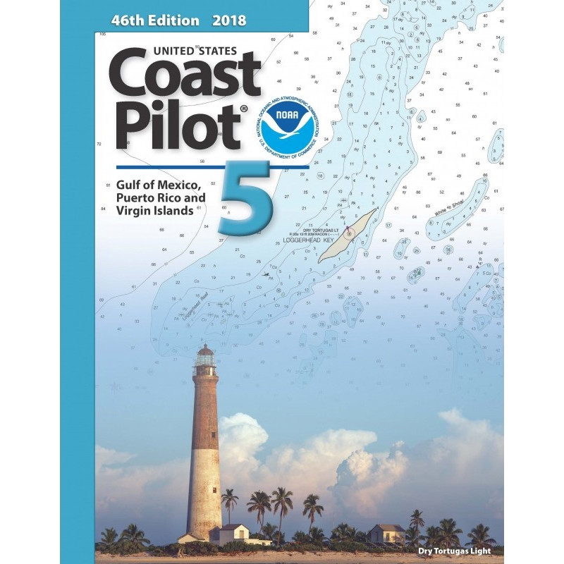
The *United States Coast Pilot 05* is the ultimate navigation companion for mariners operating in the Gulf of Mexico, Puerto Rico, and the Virgin Islands. This paperback guide bridges the gap between nautical charts and real-world navigation, offering detailed insights that charts alone cannot convey. Covering everything from Key West, Florida, to the Rio Grande, this volume is packed with critical data on ports, waterways, hazards, and regulations—making it an essential tool for commercial shipping, offshore operations, and maritime safety.
Engineered for Professional Mariners
Weighing 1.8 kg, this 2021 edition is designed for durability and ease of use on the bridge. Its paperback format ensures quick reference without the need for digital devices, reducing reliance on electronics in critical navigation scenarios. Written entirely in English, it provides standardized terminology for international crews, ensuring clear communication and compliance with maritime regulations.
Unmatched Coverage of High-Traffic Maritime Zones
From the bustling ports of Houston and New Orleans to the intricate waterways of Puerto Rico and the Virgin Islands, this guide covers over 1,500 nautical miles of coastline. It includes precise coordinates for key navigation points, detailed descriptions of channel markers, and up-to-date information on bridge heights, cable crossings, and underwater obstructions. Mariners can rely on this data to plan safe passages, avoid grounding risks, and optimize fuel efficiency in one of the world’s most complex maritime regions.
Dynamic Navigation Data for Real-World Conditions
Unlike static charts, the *Coast Pilot 05* provides real-time-relevant data on tides, currents, and weather patterns. It highlights seasonal variations, such as hurricane-prone areas and strong tidal flows near narrow straits, allowing crews to adjust their routes dynamically. The guide also includes critical safety information, such as locations of submerged wrecks, unmarked shoals, and restricted zones, ensuring vessels can navigate with confidence in both routine and challenging conditions.
Regulatory Compliance Made Simple
Navigating federal and international maritime laws is seamless with this guide. It outlines traffic separation schemes, vessel routing systems, and local navigation rules, helping ships maintain safe distances in congested areas. The book also includes guidelines for small vessel operations, fishing zones, and environmental protection areas, ensuring compliance with U.S. Coast Guard and international maritime regulations. Whether entering a major port or transiting through a narrow passage, mariners can trust this guide to keep their operations legal and efficient.
The *United States Coast Pilot 05* is a 2021 paperback edition, weighing 1.8 kg, designed for professional maritime use. It covers the Gulf of Mexico from Key West, Florida, to the Rio Grande, including Puerto Rico and the Virgin Islands, providing detailed navigation data such as channel depths, bridge clearances, tidal currents, and hazard locations. Written in English, this guide is an essential supplement to official nautical charts, offering dynamic, real-world navigation insights for commercial and government vessels.
For over a century, this series has set the standard for maritime navigation references, trusted by the U.S. Navy, commercial shipping fleets, and offshore energy operators. Updated annually, these guides incorporate the latest hydrographic surveys, port developments, and regulatory changes, ensuring mariners have the most accurate and reliable information available. As the official navigation resource for U.S. waters, this series is the gold standard for professional seafarers worldwide.
This volume covers the Gulf of Mexico from Key West, Florida, to the Rio Grande, including detailed navigation information for Puerto Rico and the Virgin Islands.
Yes, the 2021 edition includes the latest available data on tides, currents, and water levels for the covered regions.
Yes, it provides detailed descriptions of bridge heights and overhead cable clearances along navigational routes.
Yes, it includes specific information on facilities and regulations relevant to small vessel navigation.
It documents navigational hazards such as submerged obstacles, shallow areas, and other dangers not easily visible on standard charts.
No, it is designed to complement official nautical charts by providing additional details not easily represented on charts.
Updates are released periodically, with this edition published in 2021. It is recommended to check for newer editions for the most current information.
You might also like




























































![Admiralty - NP054 - Sailing directions: North Sea [West]](https://www.nautic-way.com/68595-home_default/admiralty-np054-sailing-directions-north-sea-west-maritime-bookshop-nautic-way.jpg)
![Admiralty - NP055 - Sailing directions: North Sea [East]](https://www.nautic-way.com/90871-home_default/admiralty-np055-sailing-directions-north-sea-east-maritime-bookshop-nautic-way.jpg)