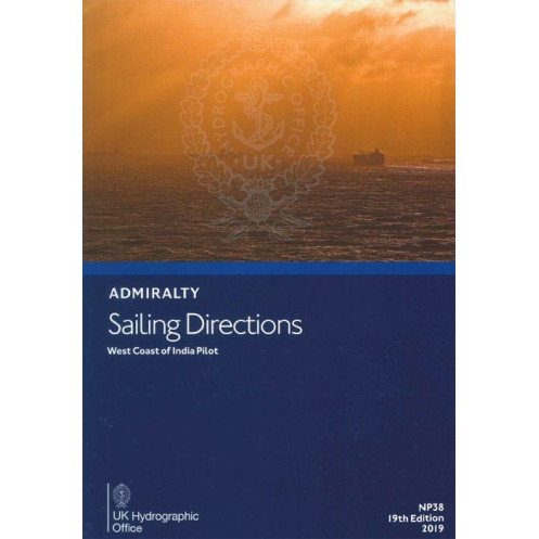




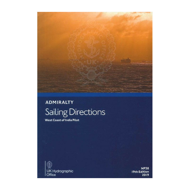
Navigate the West Coast of India confidently with this detailed guide. Covers hazards, ports, tides, and regulations for safe and compliant voyages in the region.
Data sheet
Specific References
Navigate the West Coast of India with Confidence
Sailing Directions: West Coast of India – NP038 is a must-have publication for maritime professionals navigating one of the most critical trade routes in the world. Covering the West Coast of India, the Maldives, Lakshadweep, Sri Lanka, and the coast of Pakistan, this guide provides the precise, reliable data needed to ensure safe and efficient voyages. Whether you're planning a passage through the bustling ports of Mumbai or the intricate waters of the Palk Bay, NP038 equips you with the intelligence to make informed decisions on the bridge.
Engineered for Professional Maritime Operations
Designed specifically for merchant vessels of all classes, this publication offers a wealth of technical details, including navigation hazards, port information, pilotage requirements, and local regulations. It also covers seasonal currents, climatic conditions, and ice risks, allowing crews to adapt to changing environments. With its durable hardcover binding and clear, concise English, NP038 is built to withstand the rigors of onboard use while delivering the accuracy and reliability maritime professionals demand.
Seamless Integration with Nautical Charts
NP038 is designed to complement official nautical charts, providing an additional layer of situational awareness for navigators. By combining this publication with up-to-date charts, crews can enhance their route planning, reduce risks, and improve operational efficiency. The 18th edition, published in 2016, is part of a global series of 74 to 76 volumes, ensuring comprehensive coverage for vessels operating worldwide.
Trusted by Maritime Authorities and Ship Operators
This publication is a trusted resource for maritime authorities, ship operators, and navigators who require precise, region-specific intelligence. Its technical depth and practical insights make it an essential tool for maintaining compliance with international maritime standards. Whether you're navigating busy shipping lanes or remote coastal areas, NP038 provides the knowledge and confidence needed to operate safely and efficiently.
Sailing Directions: West Coast of India – NP038 is a printed publication in English, weighing 1.9 kg. Published in 2016 as the 18th edition, it features a durable hardcover binding and is designed for professional maritime use. This volume covers critical navigation data for the West Coast of India, the Maldives, Lakshadweep, Sri Lanka, and the coast of Pakistan, including ports, hazards, and environmental conditions.
The United Kingdom Hydrographic Office is a globally recognized authority in maritime navigation, providing accurate and reliable hydrographic data to support safe and efficient voyages. With a legacy of excellence, their publications are trusted by maritime professionals worldwide, ensuring compliance with international standards and enhancing operational safety.
This publication covers the west coast of India, Maldives, Lakshadweep, Sri Lanka including Palk Bay, and the coast of Pakistan.
It provides details on port facilities, navigation hazards, buoyage systems, pilotage requirements, and local regulations.
Yes, the publication includes information on seasonal currents, climatic conditions, and ice conditions where applicable.
The paperback edition weighs 1.9 kilograms.
Yes, it is designed to complement official nautical charts for passage planning and situational awareness.
The latest edition is the 20th edition, published in 2023.
Yes, it provides comprehensive information on buoyage systems to assist with safe navigation.
You might also like


























































![Admiralty - NP054 - Sailing directions: North Sea [West]](https://www.nautic-way.com/68595-home_default/admiralty-np054-sailing-directions-north-sea-west-maritime-bookshop-nautic-way.jpg)
![Admiralty - NP055 - Sailing directions: North Sea [East]](https://www.nautic-way.com/90871-home_default/admiralty-np055-sailing-directions-north-sea-east-maritime-bookshop-nautic-way.jpg)