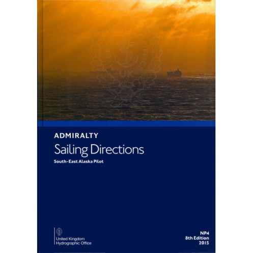




Ensure safe voyages along South-East Alaska with this comprehensive sailing guide. Covers navigation hazards, markings, ports, and climate conditions from Dixon Entrance to Cook Inlet. 2025 edition.
Data sheet
Specific References
Essential Nautical Reference for Southeast Alaska’s Coastal Waters
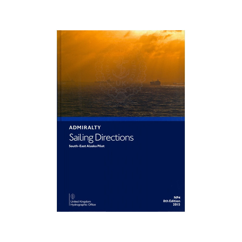
Sailing Directions: Southeast Alaska Vol. 1 is a critical resource for commercial mariners navigating the intricate and often hazardous waters of Southeast Alaska. This authoritative publication provides detailed, up-to-date guidance on everything from navigational hazards and local regulations to port facilities and environmental conditions, ensuring safe and efficient operations in one of the most challenging maritime regions in the world.
Precision Navigation for Professional Mariners
Designed to complement standard nautical charts, this volume offers in-depth coverage of the coastal stretch from Dixon Entrance to Cook Inlet. It includes essential details such as buoyage systems, pilotage requirements, and seasonal variations in currents, ice, and weather. High-quality diagrams, photographs, and coastal views enhance situational awareness, allowing mariners to plan passages with confidence and accuracy.
Trusted by the Maritime Industry
As part of a globally recognized series of 76 volumes, this publication is trusted by commercial shipping companies, vessel operators, and maritime authorities worldwide. The 2025 edition reflects the latest hydrographic data, regulatory updates, and operational best practices, ensuring compliance with international and local maritime standards. Weighing 1.9 kg, this paperback edition is built for durability and ease of use on board any vessel.
This nautical publication is the 9th edition (2025) of the Sailing Directions for Southeast Alaska, covering the region from Dixon Entrance to Cook Inlet. Available in English and in a durable paperback format, it weighs 1.9 kg and is part of a global series of 76 volumes. It includes high-quality diagrams, photographs, and coastal views to support safe navigation.
For over two centuries, this organization has been the global leader in providing accurate and reliable nautical information to mariners. Their publications, including charts and sailing directions, are trusted by commercial shipping companies, navies, and maritime authorities worldwide, ensuring safe and efficient navigation across the world’s oceans.
This volume covers the southeast coast of Alaska, from Dixon Entrance to Cook Inlet, including detailed navigation hazards, aids to navigation, and local regulations.
Yes, this is the 9th edition published in 2025, featuring the most current data on maritime conditions, port facilities, and seasonal variations.
The guide includes high-quality diagrams, photographs, and coastal views to enhance situational awareness during passage planning.
The paperback edition weighs approximately 1.9 kg.
Yes, it provides detailed information on seasonal currents, ice conditions, and climatic factors affecting navigation in the region.
Yes, it is one of 76 volumes offering worldwide coverage of sailing directions for commercial mariners.
The guide is written in English and includes standardized maritime terminology for international use.
You might also like



























































![Admiralty - NP054 - Sailing directions: North Sea [West]](https://www.nautic-way.com/68595-home_default/admiralty-np054-sailing-directions-north-sea-west-maritime-bookshop-nautic-way.jpg)
![Admiralty - NP055 - Sailing directions: North Sea [East]](https://www.nautic-way.com/90871-home_default/admiralty-np055-sailing-directions-north-sea-east-maritime-bookshop-nautic-way.jpg)