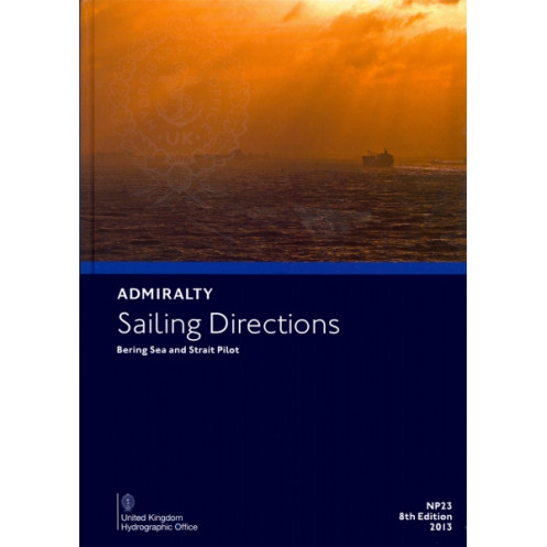




This sailing directions guide delivers expert navigation data for the Bering Sea and Strait. Covers Alaska’s coasts, the Aleutian Islands, and Siberia’s shores for safer voyages.
Data sheet
Specific References
Navigate the challenging waters of the Bering Sea and Strait with confidence using this essential maritime publication. Designed for professional mariners, this volume delivers unparalleled insights into one of the world’s most complex and remote maritime regions. Covering the western and northern coasts of Alaska, the Aleutian Islands, and the northeastern Siberian coast, this guide is an indispensable resource for safe and efficient passage planning in these high-latitude waters.
Tailored for commercial shipping, fishing vessels, and expedition cruises, this publication is a cornerstone for maritime operations in the Bering Sea and Strait. It provides critical information to support compliance with international maritime regulations and ensures adherence to best practices in navigation. Whether navigating icy waters, avoiding hazardous areas, or planning routes through narrow straits, this guide equips mariners with the knowledge needed to mitigate risks and optimize voyages.
This volume offers exhaustive coverage of the Bering Sea and Strait, including key areas such as the Aleutian Islands, the Pribilof Islands, and the coastal regions of Alaska and Siberia. It includes up-to-date details on navigational hazards, port facilities, tidal streams, and meteorological conditions, ensuring mariners have a complete understanding of the operational environment. The publication also highlights safe anchorages, pilotage requirements, and local regulations, making it an invaluable tool for route planning and emergency preparedness.
As part of a global series of 74 volumes, this publication is designed to work seamlessly with standard nautical charts. It provides contextual information that enhances the use of charts, offering narrative descriptions of coastal features, landmarks, and navigational aids. This synergy between charts and sailing directions ensures mariners have a holistic view of their route, reducing the risk of misinterpretation and improving decision-making during voyages.
Published by a globally recognized authority in maritime navigation, this guide is meticulously researched and regularly updated to reflect the latest hydrographic data. The 8th edition (2013) incorporates the most accurate and relevant information available, ensuring mariners have access to the best possible guidance. Its paperback format makes it a durable and practical resource for use on the bridge, in the chartroom, or during pre-voyage planning sessions.
The Bering Sea and Strait present unique challenges, including extreme weather conditions, ice cover, and limited infrastructure. This publication addresses these challenges head-on, providing specialized guidance for navigating in polar and sub-polar environments. It includes detailed information on ice navigation, seasonal variations, and the impact of climate conditions on maritime operations, making it an essential tool for vessels operating in these latitudes.
Master the Bering Sea and Strait with the Ultimate Navigation Guide
Unlock the secrets of one of the world’s most demanding maritime regions with the *Sailing Directions: Bering Sea and Strait NP023*. This authoritative publication is the go-to resource for mariners navigating the treacherous waters between Alaska and Siberia, offering unmatched depth and precision for safe and efficient voyages. Whether you’re charting a course through the Aleutian Islands or planning a passage along the Siberian coast, this guide provides the critical insights needed to navigate with confidence.
Engineered for Professional Mariners
Designed with the needs of commercial shipping, fishing fleets, and expedition vessels in mind, this volume delivers comprehensive coverage of the Bering Sea and Strait. Weighing 1.9 kg, it’s built for durability and ease of use on the bridge or in the chartroom. The 8th edition (2013) ensures you have the most up-to-date information, including detailed descriptions of coastal features, navigational hazards, and port facilities. With coverage spanning latitudes from 50°N to 85°N and longitudes from 141°W to 178°E, this guide is your trusted companion for high-latitude navigation.
Seamless Integration with Nautical Charts
This publication is part of a global series of 74 volumes, meticulously crafted to complement standard nautical charts. It bridges the gap between raw chart data and real-world navigation, offering narrative descriptions of landmarks, tidal streams, and meteorological conditions. This synergy ensures mariners can interpret charts with greater accuracy, reducing the risk of errors and enhancing situational awareness during voyages.
Built for the Harshest Maritime Conditions
The Bering Sea and Strait are renowned for their extreme weather, ice cover, and remote locations. This guide addresses these challenges with specialized content tailored for polar and sub-polar navigation. From ice navigation strategies to seasonal variations in weather patterns, it provides the tools needed to plan routes, avoid hazards, and respond to emergencies. Whether you’re navigating icy waters or preparing for limited infrastructure, this publication equips you with the knowledge to operate safely and efficiently.
This essential maritime guide offers precise and reliable navigation data for the Bering Sea and Strait, covering latitudes from 50°N to 85°N and longitudes from 141°W to 178°E. The 8th edition (2013) is presented in a durable paperback format, weighing 1.9 kg, and is written entirely in English. It includes detailed coverage of the western and northern coasts of Alaska, the Aleutian Islands, and the northeastern Siberian coast, ensuring mariners have access to the most critical information for safe passage in this remote region.
With a legacy spanning over two centuries, this publisher is a globally trusted authority in maritime navigation. Renowned for its precision, reliability, and commitment to safety, it provides essential resources for mariners worldwide. Its publications are the gold standard for commercial shipping, fishing fleets, and expedition vessels, ensuring compliance with international maritime regulations and best practices.
This publication covers the western and northern coasts of Alaska from Cape Douglas to the Alaska-Canada border, the Aleutian Islands, and the northeastern coast of Siberia from the Mys Lopatka Peninsula to the vicinity of Mys Yukan, including surrounding islands.
Yes, it is designed for navigators of all types of ocean-going vessels, providing essential navigation details for the specified regions.
This is the 8th edition, published in 2013.
The publication weighs 1.9 kilograms.
Yes, the coverage includes specific latitude and longitude coordinates, formatted as decimal degrees for precise navigation reference.
Yes, it is intended to complement standard nautical charts, providing additional detailed sailing directions for the covered regions.
The publication is available in English.
You might also like


























































![Admiralty - NP054 - Sailing directions: North Sea [West]](https://www.nautic-way.com/68595-home_default/admiralty-np054-sailing-directions-north-sea-west-maritime-bookshop-nautic-way.jpg)
![Admiralty - NP055 - Sailing directions: North Sea [East]](https://www.nautic-way.com/90871-home_default/admiralty-np055-sailing-directions-north-sea-east-maritime-bookshop-nautic-way.jpg)





































































































