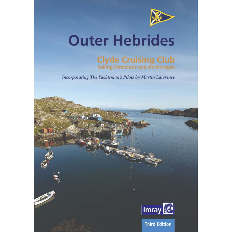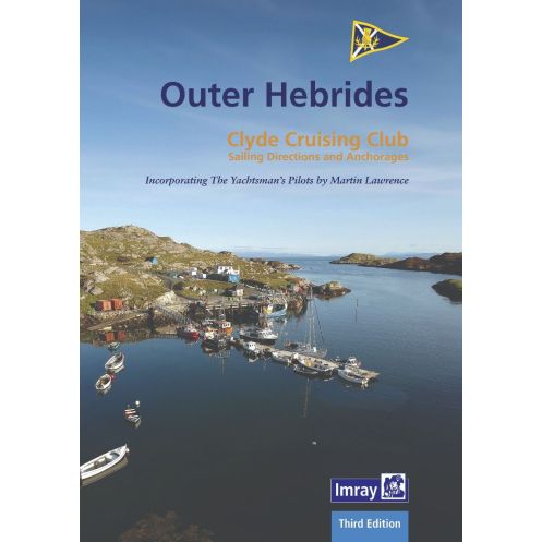




Navigate the Outer Hebrides with confidence using this comprehensive sailing guide. Covers hidden anchorages, updated surveys, and key routes for a seamless adventure in Scotland’s remote islands.
Data sheet
Specific References
Navigate the wild beauty of Scotland’s Western Isles with confidence
This comprehensive sailing guide is your trusted resource for discovering the Outer Hebrides, a breathtaking archipelago known for its rugged coastlines, secluded anchorages, and untouched landscapes. Designed specifically for small boat sailors, this guide provides detailed, up-to-date information to help you explore one of the most remote and stunning sailing destinations in the world. Whether you're planning a leisurely cruise or an adventurous voyage, this book ensures you have the knowledge to navigate safely and make the most of every stop along the way.
Reliable, practical, and thoroughly researched
Compiled by experienced sailors and local experts, this guide offers firsthand insights into the challenges and rewards of cruising the Outer Hebrides. It covers everything from safe anchorages and tidal considerations to local weather patterns and navigational hazards. The information is presented in a clear, easy-to-follow format, making it accessible for both seasoned sailors and those new to the region. With this guide in hand, you’ll have the confidence to explore hidden coves, historic harbors, and the dramatic open waters of the Atlantic.
From Barra Head to East Lewis and beyond
This guide spans the entire Outer Hebrides, from the southern tip of Barra Head to the northeastern shores of East Lewis, including the exposed Atlantic coast and the remote islands of the St Kilda group. It also covers the challenging crossings of the Minch, providing essential details for safe passage. Each section is meticulously mapped and described, ensuring you have accurate information for every leg of your journey. Whether you're seeking sheltered anchorages or planning a longer passage, this guide has you covered.
Revised with the latest information for 2024
This third edition has been fully updated to reflect the latest navigational data, user reports, and official notices. It incorporates feedback from sailors who have explored these waters, ensuring the information is both current and practical. The guide also includes the latest Antares surveys, providing the most accurate depth soundings and navigational aids available. With this level of detail, you can sail with peace of mind, knowing you have the most reliable information at your fingertips.
Built to withstand the demands of life at sea
This guide is printed in a spiral-bound format, allowing it to lay flat for easy reference while on deck. The durable construction ensures it can handle the rigors of sailing, from saltwater splashes to frequent use. With approximately 172 pages of detailed information, it’s compact enough to store in your navigation station yet comprehensive enough to cover every aspect of your journey. Additionally, supplementary materials are available for download, providing even more resources to enhance your sailing experience.
Unlock the secrets of the Outer Hebrides with this indispensable sailing guide
Embarking on a voyage to the Outer Hebrides is a dream for many sailors, but the region’s remote and often unpredictable nature demands thorough preparation. This sailing guide is your ultimate companion, offering everything you need to navigate these stunning yet challenging waters with confidence. Covering over 200 nautical miles of coastline, from the southernmost point of Barra Head to the northern reaches of East Lewis, this guide provides detailed descriptions of anchorages, passages, and points of interest, ensuring you never miss a moment of this unforgettable journey.
Tailored for small boat sailors, with a focus on safety and exploration
Whether you’re a seasoned sailor or a first-time visitor, this guide is designed to meet your needs. It includes essential information on tides, currents, and weather patterns, as well as practical advice on anchoring, mooring, and navigating the region’s many narrow channels and exposed coastlines. The guide also highlights the best spots for wildlife watching, historical exploration, and simply soaking in the breathtaking scenery. With its user-friendly layout and clear, concise instructions, it’s the perfect tool for planning and executing a safe and enjoyable voyage.
Updated for 2024 with the latest navigational data and user insights
This third edition has been meticulously revised to include the most current information available. It incorporates feedback from sailors who have explored these waters, as well as the latest official notices and Antares surveys. This ensures that you have access to the most accurate and up-to-date navigational data, including depth soundings, hazards, and recommended routes. The guide also features downloadable supplements, providing additional resources to enhance your planning and on-water experience.
Built to last, with a practical and durable design
Sailing in the Outer Hebrides can be tough on equipment, which is why this guide is designed to withstand the elements. The spiral-bound format allows it to lay flat for easy reading, while the sturdy construction ensures it can handle the wear and tear of life at sea. Weighing just 1.2 kg, it’s lightweight enough to carry on deck yet robust enough to endure the rigors of extended cruising. With 172 pages of detailed information, it’s the perfect size for both quick reference and in-depth planning.
This sailing guide offers a wealth of technical details to support your voyage through the Outer Hebrides. The 2024 edition spans 172 pages and covers the Western Isles from Lewis to Berneray, including the remote St Kilda group. It features a durable spiral-bound design, weighs 1.2 kg, and includes downloadable supplements for enhanced navigation. The guide is written in English and provides precise coordinates for key locations, ensuring accurate and reliable reference throughout your journey.
For decades, this publisher has been a trusted name in nautical guides, renowned for producing high-quality, reliable resources for sailors. Their publications are crafted by experienced mariners and local experts, ensuring that every guide is both practical and accurate. With a commitment to keeping their content up-to-date, they provide sailors with the confidence to explore even the most remote and challenging waters.
The guide covers the Outer Hebrides, including the Western Isles from Lewis to Berneray, Barra Head to East Lewis, and the St Kilda group, along with Atlantic coast crossings like the Minch.
This guide is regularly revised, with the latest edition released in 2024, incorporating user reports, official notices, and updated surveys.
Yes, supplements can be downloaded from the publisher’s website to ensure you have the most current information.
The guide features a spiral-bound format, making it easy to handle and lay flat for convenient use on board.
The guide weighs approximately 1.2 kg, balancing durability with portability for sailors.
Yes, it is specifically designed for small boat visitors, detailing isolated anchorages and navigational tips for the region.
You might also like