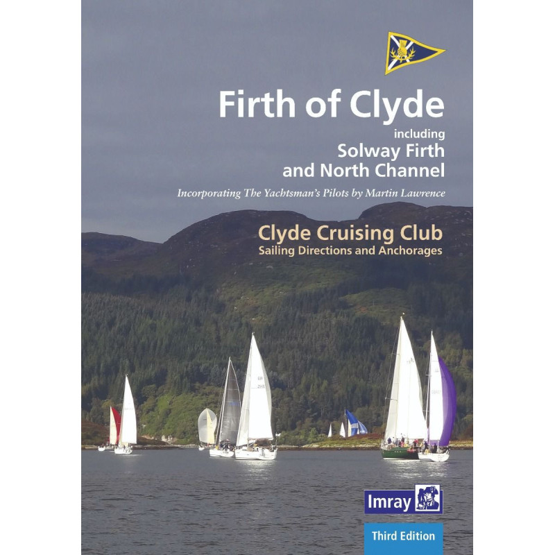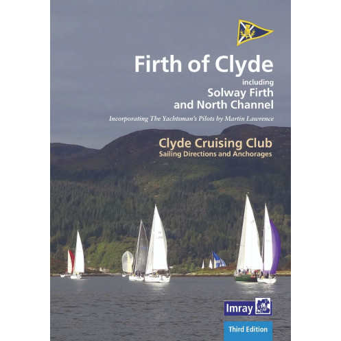




Explore the Firth of Clyde’s bustling waters and hidden lochs with this detailed 2020 sailing guide. Includes updated charts, photos, and free digital maps for seamless navigation.
Data sheet
Specific References
Explore the stunning waters of the Firth of Clyde with confidence using this comprehensive sailing guide, meticulously crafted for recreational boaters. Covering a vast area from the bustling River Clyde to the serene lochs and the rugged North Channel, this guide is your key to unlocking some of the most picturesque and diverse cruising grounds in the British Isles. Whether you're a local sailor or a visitor, this publication provides the detailed insights and up-to-date information you need to navigate safely and make the most of your time on the water.
This guide offers extensive coverage of the Firth of Clyde and its surrounding areas, including the lively waters of the River Clyde, the sheltered Kyles of Bute, the scenic Loch Fyne, and the historic Crinan Canal. It also extends to the Solway Firth, the Cumbrian coast, and the northern Irish coastline from Rathlin Island to Belfast Lough. With updated charts, detailed anchorage information, and practical sailing directions, this guide ensures you have everything you need to explore both popular hotspots and hidden gems.
Published in 2020 and updated by Geoff Crowley, this third edition features the latest navigational data, including revised charts and new photographs to enhance your planning and decision-making. The guide is fully referenced to the Imray 2900 Firth of Clyde chart pack and includes mentions of Bob Bradfield’s Antares charts, ensuring compatibility with your existing navigational tools. The extended North Channel section now includes Belfast, providing even more value for sailors venturing further afield.
With its spiral-bound format, this guide is built for durability and convenience, allowing you to lay it flat on your chart table or cockpit for easy reference while underway. The large paperback format ensures readability, while the 148 pages are packed with essential information, from tidal data and harbor details to local regulations and points of interest. Whether you're planning a weekend cruise or an extended voyage, this guide is an indispensable resource for every sailor’s library.
In addition to the printed guide, you’ll receive a free download of Imray’s digital charts for western Great Britain and Ireland. This digital complement allows you to integrate the guide’s information with modern navigation systems, giving you the flexibility to plan and execute your voyages with precision. Whether you prefer traditional paper charts or digital tools, this guide bridges the gap, offering the best of both worlds for today’s sailors.
Navigate the Firth of Clyde with Precision and Confidence
This sailing guide is your ultimate resource for exploring one of Scotland’s most beloved cruising destinations. Covering over 1,200 square nautical miles, from the bustling River Clyde to the remote lochs and the challenging North Channel, it provides detailed sailing directions, anchorage recommendations, and up-to-date navigational data. Whether you're tackling the tidal currents of the Kyles of Bute or seeking shelter in the tranquil waters of Loch Fyne, this guide ensures you have the information you need to sail safely and efficiently.
Comprehensive and User-Friendly Design
With 148 pages of expertly curated content, this guide is designed to be both thorough and easy to use. The spiral-bound format allows for hassle-free handling on deck or in the cockpit, while the large paperback size ensures clarity and readability. Updated in 2020, it includes the latest charts, photographs, and navigational references, making it a reliable companion for both seasoned sailors and those new to the region.
Seamless Integration with Modern Navigation Tools
This guide doesn’t just rely on traditional paper charts—it also includes a free download of Imray’s digital charts for western Great Britain and Ireland. This feature allows you to combine the guide’s detailed sailing directions with digital navigation systems, offering a seamless and flexible approach to voyage planning. Whether you're plotting a course on your tablet or referencing a physical chart, this guide adapts to your preferred method of navigation.
Trusted by Sailors for Over a Century
As part of the renowned "Sailing Directions and Anchorages" series, this guide carries a legacy of trust and reliability. It is authored by the Clyde Cruising Club, a respected name in maritime publishing, and is widely used by recreational boaters, yacht clubs, and sailing schools. With its focus on practicality and accuracy, it’s no wonder this guide has become an essential tool for anyone navigating the Firth of Clyde and its surrounding waters.
This 2020 edition of the Firth of Clyde Sailing Directions and Anchorages is a 148-page guide in a large paperback format, featuring a durable spiral-bound design for easy use on deck. Weighing 1.2 kg, it includes updated charts, photographs, and navigational references, with compatibility to the Imray 2900 chart pack and Antares charts. The guide also offers a free download of digital charts for western Great Britain and Ireland, ensuring seamless integration with modern navigation tools.
With a legacy spanning over a century, this publisher is synonymous with precision and reliability in maritime navigation. Renowned for its comprehensive sailing guides, charts, and digital tools, it has earned the trust of recreational boaters, yacht clubs, and sailing schools worldwide. Each publication is crafted with meticulous attention to detail, ensuring sailors have the most accurate and up-to-date information at their fingertips.
The guide extends to the northern Irish coast from Rathlin Island to Belfast Lough, the Scottish coast from Stranraer to Portpatrick, Solway Firth, and Cumbria, including the North Channel.
Yes, this 2020 edition includes updated plans referenced to the Imray 2900 Firth of Clyde chart pack, along with new photographs and extended coverage to Belfast.
Yes, it includes a free download of Imray digital charts for western Great Britain and Ireland.
The guide is spiral bound, making it practical for use on board.
The guide contains 148 pages of detailed sailing directions and anchorage information.
Yes, it provides essential information for both local navigators and visitors exploring the covered regions.
The guide weighs 1.2 kg, making it lightweight and easy to handle.
You might also like