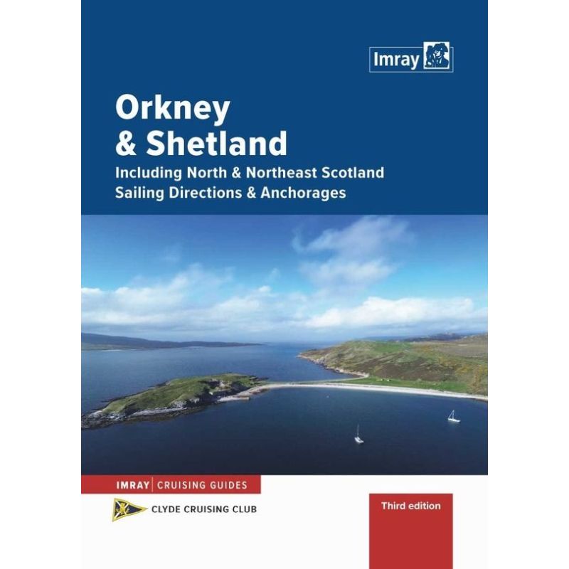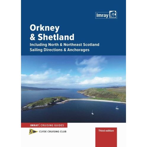




Navigate the rugged coasts of the Orkney and Shetland Islands with this expert sailing guide. Packed with updated charts, local insights, and essential navigation tips for safe and confident cruising.
Data sheet
Specific References
Navigate with confidence through the rugged beauty of the Orkney and Shetland Islands
This comprehensive sailing guide is your indispensable resource for exploring one of the most breathtaking and challenging cruising grounds in Northern Europe. Designed specifically for recreational sailors, this updated second edition delivers unparalleled local knowledge, detailed charts, and practical insights to help you safely navigate the intricate coastlines, hidden coves, and exposed waters of the Orkney and Shetland archipelagos. Whether you're planning a leisurely coastal cruise or an adventurous offshore passage, this guide ensures you have the most accurate and up-to-date information at your fingertips.
Expertly crafted for sailors, by sailors
Developed in collaboration with the Clyde Cruising Club and authored by experienced mariners Iain and Barbara MacLeod, this guide reflects decades of firsthand sailing experience in these waters. It combines meticulous research with practical advice, offering clear, concise directions that are easy to follow even in challenging conditions. The spiral-bound format ensures durability and convenience, allowing you to lay the book flat on your chart table or cockpit for quick reference while underway.
Comprehensive coverage of a vast and varied cruising area
This guide doesn’t just cover the Orkney and Shetland Islands—it extends its reach to include Fair Isle, the southern approaches to the Pentland Firth, and the Scottish mainland coast from Inverness to Cape Wrath. With detailed descriptions of over 100 harbors, anchorages, and points of interest, you’ll have everything you need to plan your route, whether you're seeking sheltered moorings, scenic stopovers, or safe passages through tidal races and strong currents. Each entry includes essential information on depths, hazards, facilities, and local regulations, ensuring you can make informed decisions at every stage of your journey.
Up-to-date and reliable information for safe and enjoyable sailing
Fully revised and updated, this second edition incorporates the latest navigational data, including changes to charts, buoyage, and local regulations. The guide also features high-quality, large-scale diagrams and clear, easy-to-read text, making it simple to interpret critical information even in low-light or rough conditions. Whether you're plotting your course in advance or making last-minute adjustments due to weather, this guide provides the reliability and precision you need to sail with confidence.
More than just a navigational aid—a gateway to unforgettable experiences
Beyond its practical value, this guide is a treasure trove of local insights, offering recommendations for shore excursions, historical sites, and natural wonders. Discover hidden gems like the ancient standing stones of Orkney, the dramatic cliffs of Shetland’s Hermaness National Nature Reserve, or the charming fishing villages that dot the coastline. With this guide in hand, you’re not just navigating—you’re unlocking the full potential of your sailing adventure in one of the world’s most captivating maritime regions.
Your Trusted Guide to the Orkney and Shetland Islands—Precision, Durability, and Expertise in Every Page
When sailing the remote and often unpredictable waters of Northern Scotland, having the right navigational resources can mean the difference between a smooth voyage and a challenging ordeal. This comprehensive sailing guide is meticulously designed to meet the needs of recreational sailors, offering a perfect blend of detailed local knowledge, practical advice, and user-friendly design. With its spiral-bound format, A4 dimensions, and 104 pages of expertly curated content, this guide is built to withstand the rigors of life at sea while providing the clarity and precision you need to navigate with confidence.
Built for the Demands of Real-World Sailing
Weighing just 1.2 kg, this guide strikes the ideal balance between portability and durability. Its spiral binding ensures the pages stay flat and secure, even in windy conditions or when space is limited on your chart table. The A4 size provides ample room for clear, large-scale diagrams and easy-to-read text, making it simple to interpret critical information at a glance. Whether you're plotting your course in the cabin or referencing it quickly in the cockpit, this guide is designed to be as functional as it is reliable.
Expertly Crafted Content for Every Sailor
Authored by Iain and Barbara MacLeod, two seasoned sailors with deep local expertise, this guide is more than just a collection of charts and coordinates—it’s a distillation of years of firsthand experience. The second edition has been fully updated to reflect the latest navigational data, including changes to buoyage, tidal information, and local regulations. With coverage extending from the Scottish mainland to the northernmost reaches of the Shetland Islands, this guide provides a level of detail that is unmatched, ensuring you have the information you need to navigate safely and efficiently.
Designed for Practicality and Ease of Use
Every aspect of this guide is tailored to the needs of sailors. The clear, concise layout makes it easy to find the information you need quickly, while the inclusion of GPS coordinates for key locations ensures seamless integration with your onboard navigation systems. Whether you're identifying safe anchorages, avoiding hazards, or planning your next stop, this guide provides the tools you need to make informed decisions and enjoy a stress-free sailing experience.
This essential sailing guide offers a robust and practical design tailored for real-world use. Featuring a durable spiral-bound format, it includes 104 pages of detailed navigational information, covering the Orkney and Shetland Islands, Fair Isle, and the Scottish mainland coast from Inverness to Cape Wrath. With A4 dimensions and a weight of 1.2 kg, it balances portability with readability, ensuring you have the critical data you need at your fingertips. Published in 2020, this second edition is fully updated with the latest charts, buoyage, and local regulations, making it a reliable companion for any sailing adventure in Northern Scotland.
With a legacy spanning over two centuries, this publisher has established itself as a trusted name in maritime navigation. Renowned for producing high-quality sailing guides, charts, and almanacs, their publications are crafted in collaboration with experienced sailors and respected yachting organizations. Combining meticulous research with practical insights, their guides are designed to meet the needs of recreational sailors, offering reliable, up-to-date information that enhances safety and confidence on the water.
The guide also includes Fair Isle, departure ports on the southern side of the Pentland Firth, and the Scottish mainland coast between Inverness and Cape Wrath.
Yes, it provides comprehensive sailing directions and updates, making it useful for both first-time visitors and experienced sailors familiar with the area.
The guide features a spiralbound format, allowing for easy handling and lay-flat use on board.
Yes, this second edition has been fully updated, incorporating new information and revisions based on recent sailing conditions and navigational data.
The guide contains 104 pages of detailed sailing directions, charts, and navigational information.
No, the guide is only available in English.
The next edition is planned for release in the second quarter of 2026.
You might also like