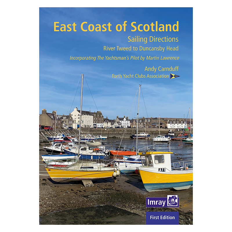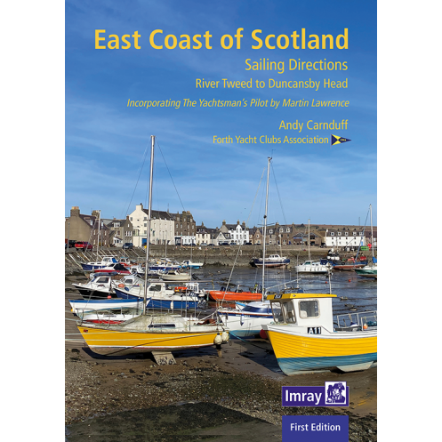




Navigate Scotland’s east coast from Berwick-upon-Tweed to Duncansby Head with this expert guide. Packed with pilotage details, anchorage tips, and coastal insights for all sailors.
Data sheet
Specific References
Navigate the wild beauty of Scotland’s east coast with confidence, from the historic shores of Berwick-upon-Tweed to the dramatic cliffs of Duncansby Head. This comprehensive nautical guide is your trusted companion for exploring one of the UK’s most underrated cruising grounds, where remote anchorages, rich maritime history, and breathtaking landscapes await. Whether you’re sailing a shallow-draft vessel or a deep-keel yacht, this guide delivers the local insights and practical details you need to chart a safe and unforgettable voyage.
Crafted by seasoned sailors and local experts, including contributions from the Forth Yacht Clubs Association, this guide blends decades of firsthand experience with meticulous research. It builds on the legacy of Martin Lawrence’s earlier work, offering updated navigation directions, pilotage details, and insider tips for ports and anchorages. From tidal considerations to weather patterns, every aspect of cruising this region is covered, ensuring you’re prepared for the challenges and rewards of Scotland’s North Sea coast.
Discover a curated selection of safe harbors, hidden coves, and well-equipped marinas tailored to vessels of all sizes. Each entry includes essential details like depth, shelter quality, and available facilities—fuel, water, repairs, and provisions—so you can plan stops with precision. Whether you’re seeking a quiet overnight anchorage or a fully serviced marina, this guide provides the critical data to make informed decisions, even in remote or tide-dependent areas.
Navigate with confidence using Imray’s renowned cartography, paired with high-quality aerial photos and informative illustrations. These visual tools offer a clear perspective of key landmarks, hazards, and entry points, simplifying complex passages and enhancing situational awareness. The spiral-bound format ensures easy handling on deck, while the durable paper withstands the rigors of life at sea, from salt spray to frequent reference.
This guide isn’t just about sailing—it’s a gateway to Scotland’s rich cultural and natural heritage. Venture ashore to explore ancient castles, historic fishing villages, and dramatic coastal trails. Learn about the region’s pivotal role in maritime innovation, from the Forth Bridge to the oil industry’s legacy. With practical advice on local attractions, dining, and transportation, you’ll seamlessly transition from sailor to explorer, making the most of every stop along your journey.
Whether you’re embarking on a short coastal hop or a longer voyage from the Baltic, this guide is an indispensable tool for planning and executing your trip. Its user-friendly layout, combined with expert insights, makes it ideal for both seasoned sailors and those new to the region. The 2023 edition ensures you have the most current information, from updated charts to revised port details, so you can focus on what matters most: enjoying the adventure.
Your Essential Companion for Cruising Scotland’s East Coast
Embark on a journey along Scotland’s eastern seaboard with this expertly crafted nautical guide, designed to equip sailors with the knowledge and confidence to explore one of the UK’s most captivating cruising grounds. Covering over 300 nautical miles from Berwick-upon-Tweed to Duncansby Head, this 160-page guide is packed with practical insights for navigating a region where remote anchorages, historic ports, and dramatic landscapes converge. Whether you’re piloting a shallow-draft vessel or a deep-keel yacht, this guide provides the tools to tackle the challenges of the North Sea, from shifting tides to unpredictable weather.
Built for Sailors, by Sailors
This guide is the result of collaboration between local experts and seasoned mariners, including contributions from the Forth Yacht Clubs Association. It integrates the latest updates with time-tested knowledge, offering a blend of navigation directions, pilotage details, and insider tips for ports and anchorages. The 2023 edition ensures you have the most current information, from revised charts to updated facility listings, so you can plan your voyage with precision and peace of mind.
Navigate with Confidence Using Visual and Practical Tools
Enhance your situational awareness with Imray’s signature cartography, complemented by aerial photos and detailed illustrations. These visual aids provide a clear perspective of key landmarks, hazards, and entry points, making complex passages easier to navigate. The spiral-bound format allows for effortless handling on deck, while the durable paper ensures longevity, even in harsh marine conditions. Weighing just 870 grams and measuring 297 × 210 × 18 mm, this guide is compact enough to store in tight spaces yet comprehensive enough to cover every aspect of your journey.
More Than Just a Navigation Guide
Beyond its technical value, this guide invites you to explore the rich history and culture of Scotland’s east coast. Discover ancient castles, historic fishing villages, and stunning coastal trails, all while learning about the region’s maritime heritage. With practical advice on local attractions, dining, and transportation, you’ll seamlessly transition from sailor to explorer, making the most of every stop along your route. Whether you’re circumnavigating the UK or crossing the North Sea from the Baltic, this guide is your key to unlocking the full potential of Scotland’s eastern shores.
This 2023 edition nautical guide offers a comprehensive resource for cruising Scotland’s east coast, featuring 160 pages of expertly curated content. Weighing 870 grams and measuring 297 × 210 × 18 mm, it is designed for durability and ease of use, with a spiral-bound format that allows for flat laying and effortless handling on deck. The guide includes detailed navigation directions, pilotage information, and port listings, all supported by Imray’s renowned cartography and aerial photography for enhanced situational awareness.
With a legacy spanning over two centuries, this publisher is renowned for producing high-quality nautical charts and guides trusted by mariners worldwide. Their publications combine expert local knowledge with rigorous cartographic standards, ensuring sailors have access to accurate, up-to-date information for safe and confident navigation. Each guide is crafted with a focus on practicality and durability, making them indispensable tools for both recreational and professional sailors.
The guide covers the east coast of Scotland from Berwick-upon-Tweed to Duncansby Head, including key ports, anchorages, and navigational details for this stretch of the North Sea.
Yes, while the area is ideal for shallow-draft boats, deep-keel yachts will find suitable ports and anchorages, particularly in stable weather or with offshore winds.
Yes, the guide features informative aerial photos alongside Imray cartography to assist with navigation and pilotage.
The spiral binding is designed for practical onboard use, allowing the guide to lay flat for easy reference while withstanding frequent handling in marine conditions.
This edition incorporates insights from Andy Carnduff and members of the Forth Yacht Clubs Association, building on Martin Lawrence’s earlier work for accurate, up-to-date local knowledge.
Yes, it highlights Scotland’s rich cultural history, innovation, and scenic landscapes to explore when ashore.
The guide weighs 870 grams, making it lightweight enough for easy transport while remaining comprehensive for navigation.
You might also like