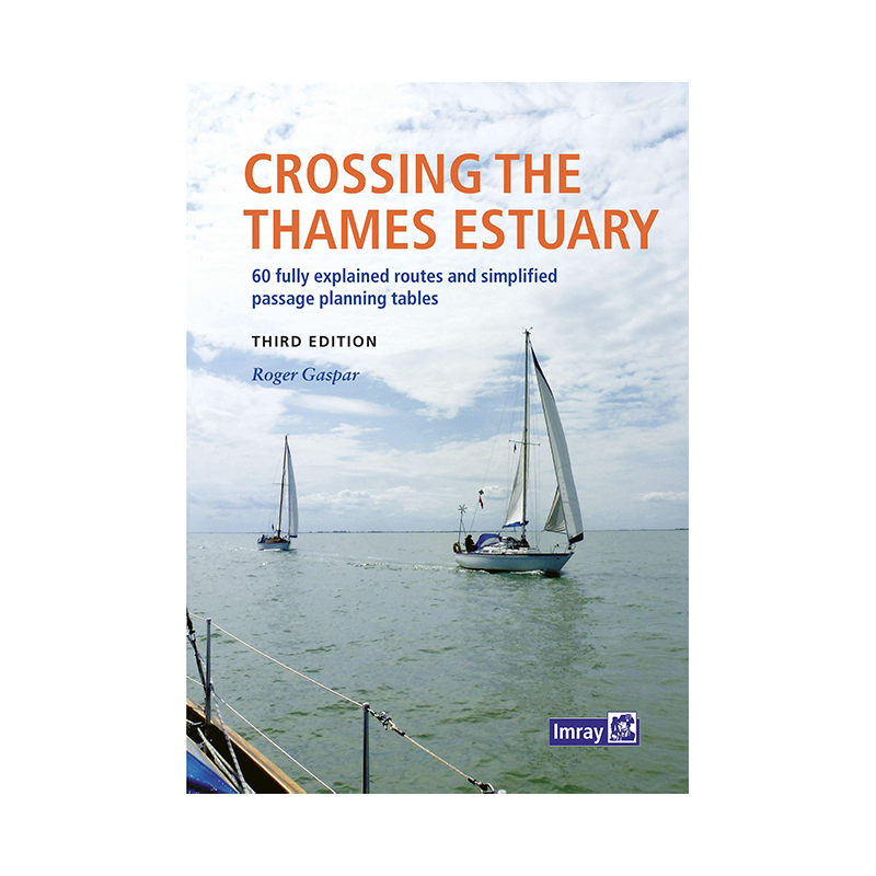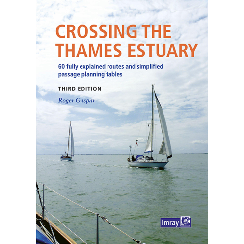




Master the complexities of the Thames Estuary with this expert guide, featuring 60 safe routes, tide tables, and hazard insights for boats cruising at 4-7 knots.
Data sheet
Specific References
Navigate the Thames Estuary with Confidence and Precision
Crossing the Thames Estuary is no ordinary voyage—it’s a journey through one of the UK’s most dynamic and demanding waterways, where powerful tides, shifting sands, and heavy maritime traffic test even the most experienced boaters. This guide is your indispensable companion, offering 60 meticulously planned routes that cover every critical passage between Kent, Essex, and Suffolk. Whether you’re threading through narrow channels, avoiding shallow waters, or timing your departure to match the tides, this book provides the detailed insights you need to sail safely and efficiently.
Plan Your Passage with Precision
Every route in this guide is designed to simplify your planning process. Clear waypoint diagrams and "rolling road" schematics give you a visual overview of your journey, while detailed notes on hazards, tidal effects, and navigation routes ensure you’re always prepared. The guide includes simplified planning tables that allow you to calculate the best departure times based on your boat’s speed—4, 5, 6, or 7 knots—so you can optimize your passage every 30 minutes, regardless of whether it’s a spring or neap tide. No more guesswork, just reliable data to keep you on course.
Stay Ahead of the Estuary’s Ever-Changing Conditions
The Thames Estuary is a living waterway, with shifting sands and swatchways that demand constant vigilance. This guide is backed by a dedicated website, www.crossingthethamesestuary.com, where you can access real-time updates on channel conditions, ensuring your navigation remains accurate and safe. Whether you’re taking the inner routes through the sandbanks or the outer passage between Suffolk and Ramsgate, this resource keeps you informed and ready for whatever the estuary throws your way.
Built for Boaters, by a Trusted Navigator
Written by Roger Gaspar, a sailor with deep expertise in the Thames Estuary, this guide is crafted specifically for recreational boaters. Its spiral-bound format is designed for easy use on deck, while its clear, concise layout ensures quick reference when you need it most. Whether you’re planning a short trip or a longer voyage, this guide equips you with the knowledge and tools to navigate the estuary’s complexities with confidence.
This guide is packed with practical tools to enhance your navigation, including 60 detailed routes with waypoint diagrams, "rolling road" schematics, and hazard warnings. The spiral-bound format ensures durability and ease of use on deck, while the planning tables cover boat speeds from 4 to 7 knots, accommodating both spring and neap tides. Updated regularly via the companion website, this 2022 edition weighs 900 grams and is written entirely in English.
With decades of experience in maritime publishing, this publisher is a trusted name among boaters worldwide. Specializing in navigation guides, charts, and almanacs, their resources are designed to provide accurate, up-to-date information for safe and enjoyable sailing. Their guides are crafted by experienced navigators and are relied upon by both recreational and professional mariners.
The area features narrow channels, shallow waters, strong tides, shifting sands, dense maritime traffic, major ports, and wind farms. The guide details these hazards and provides safe routes to avoid them.
The routes, particularly the inner routes through sands and swatchways, are regularly updated. The latest updates can be found on the dedicated website for the guide.
The tide planning tables include simplified and precise calculations for boat speeds of 4, 5, 6, and 7 knots, helping you choose the best departure time every 30 minutes.
Yes, the guide provides detailed information and planning tables for both spring and neap tides, ensuring safe navigation regardless of the tidal conditions.
A 'rolling road' diagram visually represents the safest route through complex areas, showing waypoints and key navigational markers to help you stay on course during your crossing.
Yes, it provides details on suitable anchorage spots along the described routes, ensuring you have safe locations to moor when needed.
Yes, the spiralbound format is designed to lay flat and withstand frequent use in marine environments, making it practical for onboard navigation.
You might also like