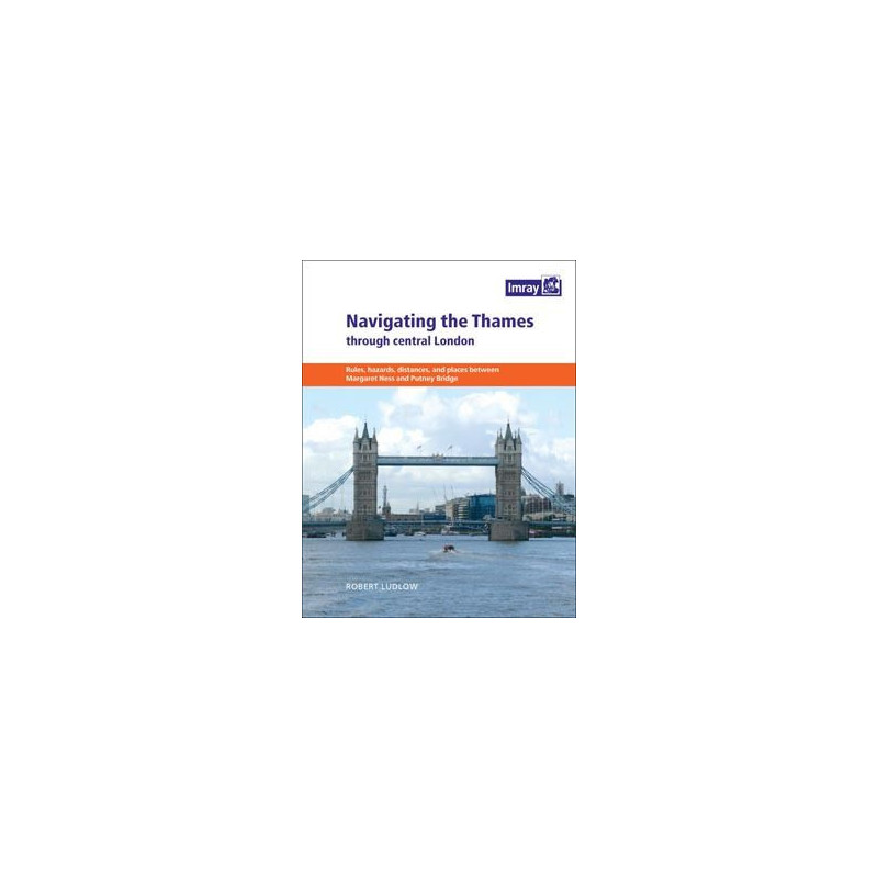


Imray - Navigating the Thames trought central London
search
  • googlemap
  • Imray - Navigating the Thames trought central London

Imray - Navigating the Thames trought central London

€15.55
Tax included
Imray
In English language
Estimated preparation time: 5 to 14 days

Master the Thames through Central London with this detailed guide. Covers hazards, landmarks, and local rules in a handy spiral-bound format—ideal for safe and informed navigation.

PIL0094

Data sheet

What is the classification?
navigation book
Who is the publisher or the author?
Robert Ludlow
On what digital medium is this nautical chart / book stored?
paper medium
From which year does this nautical chart date?
2012
What type of navigation book is this?
pilot
Picto
In English language

Specific References

UPC
400000055411
EAN13
9781846234897
New
Description détaillée

Navigating the Thames Through Central London

Guide in English
Paperback edition

Your Essential Companion for Thames Navigation

Navigating the bustling waters of the Thames through central London demands precision, local insight, and reliable guidance. This comprehensive guide is tailored for recreational boaters venturing into one of the world’s most iconic yet challenging urban waterways. Covering the stretch from Margaret Ness in the east to Putney Bridge in the west, it provides the critical knowledge needed to navigate safely and confidently. Whether you're a first-time visitor or a seasoned sailor, this guide ensures you’re prepared for the unique demands of London’s central Thames.

Designed for Recreational Boaters

This guide is crafted specifically for leisure boaters who may be unfamiliar with the complexities of the Thames through central London. The river here is a dynamic environment, shared by commercial vessels, ferries, and pleasure craft, all operating under strict local regulations. The guide breaks down essential information into clear, actionable advice, helping you understand the rules, signals, and protocols that govern this busy waterway. With this resource, you’ll navigate with the confidence of a local, avoiding common pitfalls and ensuring a smooth journey.

Structured for Clarity and Practicality

The guide is divided into three key sections, each addressing a critical aspect of Thames navigation. The first section offers general information, practical tips, and an overview of local regulations, ensuring you’re well-versed in the rules of the river. The second section serves as a quick-reference directory, listing the names of landmarks, bridges, and other locations you’ll encounter or hear about over the radio. This is invaluable for staying oriented and communicating effectively with other vessels. The third section highlights the specific hazards you may face while navigating upstream, accompanied by a fold-out map for easy reference. This structured approach ensures you have all the tools you need at your fingertips.

Built for Durability and Convenience

Designed for use on the water, this guide features a spiral-bound, paperback format that lies flat for easy reading while underway. Measuring 246 x 189 mm, it’s compact enough to store in a navigation station or take along in a cockpit. The durable construction ensures it withstands the rigors of marine environments, from splashes to frequent handling. Whether you’re planning your route in advance or referencing it in real-time, this guide is built to be a reliable companion on every journey through central London.

Trusted Resource for Safe and Informed Navigation

Navigating the Thames through central London is a rewarding experience, but it requires preparation and respect for the river’s unique challenges. This guide equips you with the knowledge to handle everything from tidal currents to heavy traffic, ensuring your voyage is both safe and enjoyable. With detailed insights into local regulations, hazards, and landmarks, it’s an indispensable tool for any boater looking to explore one of the world’s most famous urban waterways. Whether you’re cruising for leisure or honing your skills, this guide is your key to mastering the Thames.

Master the Thames with Confidence
Navigating the Thames through central London is a thrilling yet demanding experience, where precision and local knowledge make all the difference. This essential guide is your trusted companion for safely traversing the river’s busiest stretch, from Margaret Ness to Putney Bridge. Designed for recreational boaters, it combines practical advice, regulatory insights, and hazard awareness to ensure a seamless journey. Whether you’re a first-time visitor or a seasoned sailor, this guide provides the tools you need to navigate with confidence and ease.

Comprehensive Coverage for Every Boater
This guide is structured to address the unique challenges of the central Thames, a waterway shared by commercial vessels, ferries, and pleasure craft. The first section delivers general information, including local rules and navigation tips, while the second section serves as a quick-reference directory of key landmarks and locations. The third section highlights common hazards, accompanied by a fold-out map for easy visualization. This three-part approach ensures you’re prepared for every aspect of your journey, from understanding radio communications to avoiding potential dangers.

Built for the Water, Designed for Convenience
Engineered for use on the water, this guide features a durable spiral-bound format that lies flat for effortless reading. Measuring 246 x 189 mm, it’s compact enough to store in a navigation station or take along in the cockpit. The lightweight design (180 g) ensures it won’t weigh you down, while the sturdy construction withstands the demands of marine environments. Whether you’re planning your route or referencing it in real-time, this guide is built to be a reliable and practical resource for every voyage.

Your Key to Safe and Enjoyable Navigation
The Thames through central London is a dynamic and rewarding waterway, but it demands respect and preparation. This guide equips you with the knowledge to handle tidal currents, heavy traffic, and local regulations, ensuring your journey is both safe and enjoyable. With detailed insights into landmarks, hazards, and navigation protocols, it’s an indispensable tool for any boater looking to explore one of the world’s most iconic urban rivers. Whether you’re cruising for leisure or refining your skills, this guide is your gateway to mastering the Thames.

This practical guide is designed for durability and ease of use, featuring a spiral-bound paperback format that measures 246 x 189 mm and weighs just 180 g. Authored by Robert Ludlow and published in 2012, it includes a fold-out map and covers the critical stretch of the Thames from Margaret Ness to Putney Bridge, providing essential navigation insights for recreational boaters.

With decades of expertise in maritime navigation, this publisher is renowned for producing high-quality guides and charts tailored to the needs of boaters worldwide. Their resources are trusted by recreational and professional sailors alike, offering accurate, up-to-date information to ensure safe and confident navigation in even the most challenging waterways.

  • This guide offers unparalleled local insights into navigating the Thames through central London, combining regulatory knowledge, hazard awareness, and practical tips in a single, easy-to-use resource. Its durable spiral-bound format ensures convenience on the water, while the fold-out map and structured sections provide quick access to critical information. Whether you’re a novice or an experienced boater, this guide enhances safety, confidence, and enjoyment on one of the world’s busiest urban waterways.
What area of the river does this guide cover?

The guide covers the stretch from Margaret Ness in the east to Putney Bridge in the west, a busy section requiring local knowledge approval for most commercial captains.

Is this guide suitable for experienced boaters?

Yes, while it’s designed for leisure boaters unfamiliar with the area, Part 2 provides useful details for even the most experienced boat operators.

What types of hazards are described in the guide?

The guide outlines various hazards encountered while navigating upstream, with descriptions and a fold-out map for reference.

Are local rules and regulations included?

Yes, the first section provides general information, advice, and relevant local rules for navigating this part of the river.

What is the size and format of the book?

The book is spiral-bound in a paperback format, measuring 246 x 189 mm for easy handling on board.

Does the guide include a map?

Yes, it comes with a fold-out map to help visualize the described hazards and navigation points.

How current is the information in this edition?

The guide was published in 2012, authored by Robert Ludlow, and reflects the navigation details and regulations as of that year.

Loading...