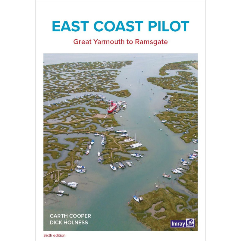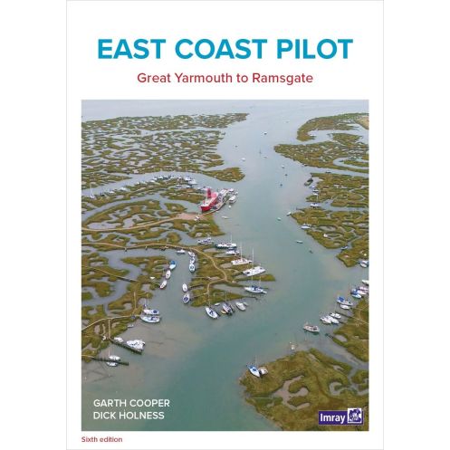




Sail England’s east coast safely with this trusted guide. Covers Great Yarmouth to Ramsgate, featuring detailed charts, aerial views, and expert navigation tips.
Updated for precision and ease of use.
Data sheet
Specific References
Navigating the intricate waters of England’s East Coast demands precision, local insight, and reliable guidance—this pilot book delivers all three. Covering the stretch from Great Yarmouth to Ramsgate, including the Thames up to Tower Bridge, it is the definitive resource for boaters tackling one of the UK’s most challenging yet rewarding cruising grounds. Whether you’re a seasoned sailor or a weekend cruiser, this guide ensures safe passage through shifting tides, narrow channels, and bustling harbors.
Written by experienced mariners who keep their own boats along this coastline, this pilot book offers firsthand knowledge you won’t find in generic charts. It combines clear, step-by-step directions with Imray’s renowned precision, featuring detailed harbor plans, aerial and sea-level photographs, and unique "rolling road" diagrams. These visual aids break down complex approaches—such as buoy sequences and tricky turns—into easy-to-follow sequences, eliminating guesswork in high-stakes areas. Waypoints, port contacts, and crew facilities are also included, making it a practical tool for both planning and on-the-water decision-making.
From the bustling marinas of the Thames to the quiet creeks of Essex and Kent, this guide leaves no stretch of water uncharted. It highlights safe anchorages, tidal gates, and hidden hazards, ensuring you can navigate with confidence whether you’re entering a busy port or exploring secluded inlets. Regular updates—available online—keep the information current, reflecting changes in buoys, dredging, and local regulations. The 320-page paperback format is designed for durability and ease of use, fitting seamlessly into your navigation station or cockpit.
This isn’t just a book; it’s a trusted companion for every trip along the East Coast. Its large, 210 x 297 mm format ensures readability in all conditions, while the lightweight 800 g design makes it portable. Whether you’re plotting a course from your chart table or referencing it mid-passage, the logical layout and concise instructions save time and reduce stress. With six editions of refinements, it’s a resource honed by decades of real-world use, making it indispensable for both regulars and first-time visitors to these waters.
Master the East Coast’s Tricky Waters with Unmatched Local Expertise
This pilot book is the gold standard for navigating the East Coast of England, offering boaters an unparalleled blend of precision, practicality, and up-to-date local knowledge. Covering the critical stretch from Great Yarmouth to Ramsgate—including the Thames up to Tower Bridge—it transforms complex navigation into a straightforward, stress-free experience. Whether you’re threading through narrow channels, timing tidal gates, or approaching unfamiliar harbors, this guide provides the clarity and confidence you need to sail safely.
Precision Navigation Tools for Every Boater
Designed by mariners for mariners, this guide goes beyond standard charts with features tailored to the East Coast’s unique challenges. Imray’s signature "rolling road" diagrams simplify tricky approaches by breaking down buoy sequences and turns into visual step-by-step guides. Aerial and sea-level photographs offer real-world perspectives, while detailed harbor plans ensure you can dock with ease. Waypoints, port contacts, and crew facilities are all included, making this book as practical for planning as it is for on-the-water navigation.
Built for Durability and Ease of Use
With 320 pages of expertly curated content, this paperback guide is designed to withstand the rigors of life on the water. Its large 210 x 297 mm format ensures readability in all conditions, while the lightweight 800 g design makes it easy to stow in your navigation station or cockpit. Regular updates—available online—keep the information current, so you’re always prepared for changes in buoys, dredging, or local regulations. Whether you’re a regular on these waters or a first-time visitor, this guide is your key to navigating with confidence.
This pilot book is a paperback edition with 320 pages, measuring 210 x 297 mm and weighing 800 g. It covers the East Coast of England from Great Yarmouth to Ramsgate, including the Thames up to Tower Bridge, and is written in English. The sixth edition, published in 2021, includes detailed navigation aids such as Imray charts, aerial and sea-level photographs, and "rolling road" diagrams for complex approaches.
With a legacy spanning decades, this publisher is renowned for producing high-quality nautical guides and charts trusted by mariners worldwide. Their pilot books are crafted by experienced sailors, ensuring accuracy, practicality, and up-to-date local knowledge. Regular updates and a commitment to precision make their publications indispensable tools for safe and confident navigation.
The guide covers the east coast of England from Great Yarmouth to Ramsgate, including the Thames up to Tower Bridge, with detailed navigation for creeks, harbors, and rivers.
Yes, it includes unique 'rolling road' diagrams showing buoy sequences and approach paths, along with sea-level and aerial photographs for clarity.
The authors, who maintain boats on the east coast, regularly update the content. The latest edition was published in 2021, with additional updates available on the dedicated website.
It provides key waypoints, harbor contacts, and crew facilities to assist with planning and navigation.
Yes, it’s designed for both frequent sailors of the region and visitors navigating these waters for the first time.
The guide measures 210 x 297 mm and weighs 800 grams, making it portable yet comprehensive.
You might also like