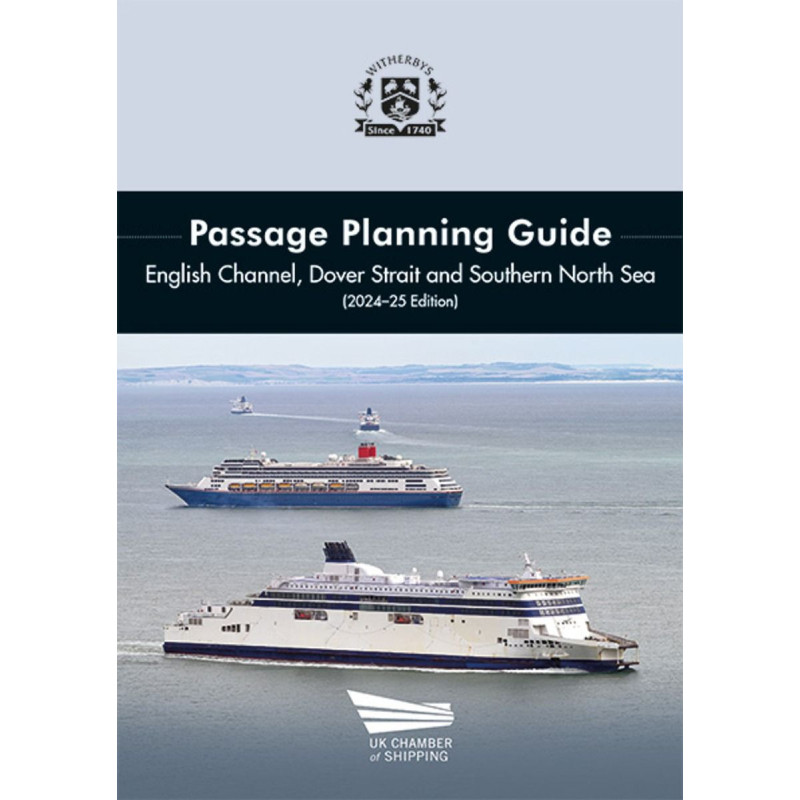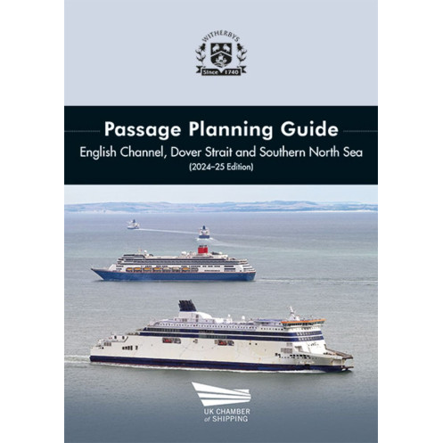

Witherbys - SEA0290 - Passage planning Guide - English channel, Dover strait & southern North sea
search
  • googlemap
  • Witherbys - SEA0290 - Passage planning Guide - English channel, Dover strait & southern North sea

Witherbys - Passage planning Guide - English channel, Dover strait & southern North sea

€572.15
Tax included
In English language
Estimated preparation time: 5 to 14 days

Navigate the English Channel, Dover Strait, and Southern North Sea confidently. This guide offers critical passage planning details, traffic schemes, and navigation insights for seamless voyages.

SEA0290

Data sheet

From which year does this nautical chart date?
2024
Picto
In English language

Specific References

UPC
400000003672
EAN13
4000000011477
New
Description détaillée

Passage Planning Guide – English Channel, Dover Strait & Southern North Sea

Publication in English
Hardcopy edition

Comprehensive Navigation Resource for High-Traffic Maritime Zones

Navigating the English Channel, Dover Strait, and Southern North Sea demands precision, up-to-date intelligence, and expert guidance. This guide delivers all three, offering maritime professionals a trusted companion for safe, efficient, and compliant passage planning. Designed in collaboration with the UK Chamber of Shipping, it consolidates critical navigation data, traffic management insights, and operational best practices into a single, authoritative volume. Whether transiting to or from major ports like Rotterdam, Maas, Thames, or Schelde, this resource ensures vessels navigate with confidence in one of the world’s busiest and most complex maritime corridors.

Real-World Insights from Industry Experts

What sets this guide apart is its foundation in real-world expertise. The 2024-2025 edition has been meticulously revised and updated with input from active pilots and leading industry organizations. Every detail—from traffic separation schemes (TSS) to vessel traffic services (VTS) protocols—reflects the latest operational realities. The guide highlights key navigation aids, distinctive chart features, high-traffic hotspots, and potential hazards, empowering crews to anticipate challenges and make informed decisions. With color fold-out charts and clear visual references, it transforms complex data into actionable intelligence, reducing risk and enhancing situational awareness.

Essential Data for Safe and Controlled Transits

This guide goes beyond basic navigation by integrating a wealth of practical information. It includes detailed ferry routes, weather and tidal data, and critical updates on traffic separation schemes—all tailored to the unique demands of the English Channel and Southern North Sea. The inclusion of high-traffic zones and potential dangers ensures that vessels can plan routes that minimize congestion and avoid hazards. For maritime professionals, this means smoother transits, reduced delays, and compliance with international maritime regulations. The hardback format ensures durability, making it a reliable reference for bridge teams, pilots, and shipping companies alike.

Designed for Maritime Professionals

This publication is not just a book—it’s a tool for operational excellence. Its structured layout and clear presentation make it easy to reference during voyage planning or while underway. The 208-page volume is sized for practical use, with dimensions of 300 mm by 250 mm, balancing portability with readability. Weighing 1.3 kg, it’s built to withstand the rigors of maritime environments while remaining accessible. Whether used for pre-voyage briefings, onboard navigation, or training, this guide is an indispensable resource for anyone responsible for the safe passage of vessels through these critical waters.

Master the Complexities of One of the World’s Busiest Maritime Corridors
The English Channel, Dover Strait, and Southern North Sea are among the most challenging and heavily trafficked waterways globally. This passage planning guide equips maritime professionals with the precise, up-to-date information needed to navigate these regions safely and efficiently. Developed in partnership with the UK Chamber of Shipping, it combines expert insights, regulatory updates, and practical guidance to support controlled and compliant transits. From major ferry routes to high-traffic hotspots, this resource ensures vessels can plan and execute voyages with confidence, minimizing risks and optimizing operational efficiency.

Expert-Backed Intelligence for Real-World Navigation
This edition stands out for its collaboration with active pilots and industry leaders, ensuring every detail reflects current operational realities. The guide provides in-depth coverage of traffic separation schemes (TSS), vessel traffic services (VTS), and critical navigation aids, all presented in a clear, accessible format. Color fold-out charts offer visual clarity, while sections on weather, tides, and potential hazards help crews anticipate and mitigate risks. Whether navigating toward Rotterdam, Maas, or the Thames, this guide delivers the intelligence needed to make informed decisions and maintain situational awareness.

Built for Durability and Practical Use
Designed for the demands of maritime environments, this hardback guide is both robust and user-friendly. Its 208 pages are packed with essential data, yet its dimensions (300 mm by 250 mm) ensure it remains practical for use on the bridge or in planning sessions. Weighing just 1.3 kg, it strikes the perfect balance between portability and durability. The 2024-2025 edition has been fully revised to include the latest updates, making it an indispensable tool for bridge teams, pilots, and shipping companies committed to safe and efficient navigation.

This guide is a hardback publication with 208 pages, designed for durability and ease of use in maritime settings. Measuring 300 mm in height and 250 mm in width, it provides ample space for detailed charts and navigation data while remaining practical for onboard reference. Weighing 1.3 kg, it is lightweight yet sturdy, making it ideal for use on the bridge or during voyage planning. The 2024-2025 edition includes color fold-out charts, traffic hotspot details, ferry routes, weather and tidal information, and updates on TSS and VTS protocols.

With decades of experience in maritime publishing, this brand is a trusted name in navigation and safety resources. Known for collaborating with industry leaders and regulatory bodies, their publications are designed to meet the evolving needs of maritime professionals. Each guide is meticulously researched and updated to ensure accuracy, reliability, and practical value, making them essential tools for safe and efficient navigation.

  • This passage planning guide offers unparalleled accuracy and relevance, with updates sourced directly from active pilots and industry experts.
  • Its comprehensive coverage of high-traffic zones, traffic separation schemes, and potential hazards ensures vessels can navigate with confidence.
  • The inclusion of color fold-out charts and clear visual references enhances situational awareness,
  • while its durable hardback format guarantees long-term usability.
  • Whether for pre-voyage planning or real-time navigation, this guide is an indispensable resource for maritime professionals operating in the English Channel, Dover Strait, and Southern North Sea.
What are the dimensions and weight of the guide?

The guide measures 300 mm in height and 250 mm in width, with a weight of 1.3 kg.

Does the guide include fold-out charts?

Yes, it includes color fold-out charts for easy reference during passage planning.

What specific traffic areas are covered in the guide?

It covers key traffic hotspots, ferry routes, and Traffic Separation Schemes (TSS) in the English Channel, Dover Strait, and Southern North Sea.

Are tidal and weather information included?

Yes, the guide provides detailed tidal and weather information relevant to the covered regions.

Who contributed to the latest edition of the guide?

The 2026-27 edition was revised and updated with input from active pilots and leading industry organizations.

What are the key updates in the 2026-27 edition?

The latest edition includes updated navigation aids, traffic separation schemes, and potential hazards for safer passage planning.

Is the guide suitable for planning passages to major European ports?

Yes, it covers passages to and from MAAS/Rotterdam, Sunk/Thames, Wandelaar/Schelde, and Elbe/Weser/Jade.

Loading...