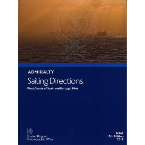





Plan your voyage along Spain and Portugal’s west coasts with this digital guide. Covers key ports, hazards, weather, and regulations from Cabo Ortegal to Gibraltar for safe and efficient navigation.
Data sheet
Specific References
Navigate the intricate waters of the West Coasts of Spain and Portugal with confidence using this comprehensive digital sailing guide. Designed for merchant mariners and all seafarers, this publication delivers critical insights for safe and efficient voyages along one of Europe’s most vital maritime corridors. From the rugged cliffs of Cabo Ortegal to the strategic Strait of Gibraltar, this guide ensures you have the most up-to-date information at your fingertips, whether you're entering a bustling port or charting a course through challenging coastal waters.
Whether you're navigating the busy shipping lanes of the Strait of Gibraltar or exploring the scenic yet challenging coastlines of Portugal and Spain, this digital sailing guide is your ultimate resource. It combines decades of hydrographic expertise with modern digital convenience, offering unparalleled support for safe, compliant, and efficient navigation. Equip your vessel with the knowledge and confidence needed to tackle any maritime challenge along these vital routes.
Master the West Coasts of Spain and Portugal with the Ultimate Digital Sailing Guide
Designed for professional mariners and seafarers, this digital edition of *Sailing Directions: West Coasts of Spain and Portugal* is your go-to resource for navigating one of Europe’s most critical maritime regions. Covering the coastal stretch from Cabo Ortegal to Gibraltar, including the Strait of Gibraltar and the North African coast, this guide provides unparalleled accuracy and detail to ensure safe, efficient, and compliant voyages. Whether you're entering a major port or charting a course through challenging waters, this publication delivers the essential data you need to navigate with confidence.
Precision Navigation for Every Voyage
This 12th edition, published in 2014, is part of a globally trusted 74-volume series that sets the standard for maritime navigation. It offers comprehensive coverage of the region’s hydrography, including detailed port entry instructions, navigational hazards, buoyage systems, and local regulations. High-resolution color photographs and panoramic views enhance situational awareness, while up-to-date meteorological and oceanographic data help you plan for safe passage. The digital format ensures you have instant access to the latest information, making it an indispensable tool for modern navigation.
Seamless Integration with Your Onboard Systems
Optimized for use on PCs running Windows 7 and later, this digital guide is designed to complement your existing navigational tools, including electronic charting systems (ECS) and electronic chart display and information systems (ECDIS). Its searchable format allows for quick reference, reducing downtime and improving operational efficiency. Lightweight and portable, it eliminates the need for bulky paper volumes while ensuring you always have the most current edition at your fingertips. Whether you're a merchant mariner, a recreational sailor, or a maritime professional, this guide is engineered to meet the demands of today’s dynamic maritime environment.
Built for Professionals, Trusted Worldwide
Backed by decades of hydrographic expertise, this publication is relied upon by mariners across the globe for its accuracy, reliability, and comprehensive coverage. It includes essential details on port facilities, pilotage services, and local regulations, ensuring compliance with international maritime standards. The guide’s focus on the West Coasts of Spain and Portugal—from the rugged Atlantic shores to the strategic Strait of Gibraltar—makes it an invaluable resource for navigating this high-traffic region. Equip your vessel with the knowledge and tools needed to tackle any challenge, and sail with the confidence that comes from having the best information available.
This digital sailing guide provides comprehensive coverage of the West Coasts of Spain and Portugal, from Cabo Ortegal to Gibraltar, including the Strait of Gibraltar and the North African coast from Cap Spartel to Ceuta. The 12th edition, published in 2014, is available in a digital format compatible with Windows 7 and later. It includes high-resolution color photographs, panoramic views, and detailed data on navigational hazards, buoyage systems, meteorological conditions, and port facilities. The guide is part of a 74-volume series that covers global maritime routes, ensuring accuracy and reliability for professional and recreational mariners alike.
With a legacy spanning over two centuries, this publisher is a global leader in hydrographic and maritime navigation solutions. Renowned for its precision, reliability, and innovation, the brand provides essential tools for mariners worldwide, including nautical charts, sailing directions, and digital navigation aids. Trusted by commercial fleets, naval forces, and recreational sailors, its publications set the standard for safe and efficient maritime operations, ensuring compliance with international regulations and best practices.
This guide covers the west coasts of Spain and Portugal from Cabo Ortegal to Gibraltar, including the Strait of Gibraltar and the northern coast of Africa from Cap Spartel to Ceuta.
No, the digital publication is only compatible with Windows 7 and later versions.
The publication includes color photographs and panoramic views to assist with navigation and port entry.
Yes, it provides information on port facilities, local regulations, pilotage details, and primary entry guides for ports in the covered regions.
The latest edition available is the 12th edition, published in 2014. Updates depend on new editions released by the publisher.
Yes, once downloaded, the digital guide can be accessed offline on compatible Windows devices.
The guide includes details on navigational hazards, buoyage systems, and meteorological data relevant to the covered regions.
You might also like






































































![Admiralty - eNP054 - Sailing directions: North Sea [West]](https://www.nautic-way.com/80626-home_default/admiralty-enp054-sailing-directions-north-sea-west-maritime-bookshop-nautic-way.jpg)
![Admiralty - eNP055 - Sailing directions: North Sea [East]](https://www.nautic-way.com/90870-home_default/admiralty-enp055-sailing-directions-north-sea-east-maritime-bookshop-nautic-way.jpg)




























