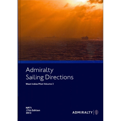





Digital sailing directions for the West Indies, Volume 2. Covers hazards, weather, and port regulations for Puerto Rico, Virgin Islands, and beyond. Windows-compatible for seamless navigation.
Data sheet
Specific References
Navigate the Caribbean’s most intricate waters with confidence using this comprehensive digital sailing guide. Designed for merchant mariners and professional navigators, this digital edition delivers critical insights for safe and efficient voyages across the West Indies. From the Mona Passage to the Windward Islands, this guide ensures you have the most up-to-date information at your fingertips, optimized for modern digital navigation systems.
Master the West Indies with the Ultimate Digital Sailing Guide
Sailing through the Caribbean’s most demanding waters demands precision, and this digital nautical guide delivers just that. Tailored for merchant vessels and professional mariners, the *Sailing Directions: West Indies Vol. 2* provides an unparalleled depth of navigational intelligence, ensuring safe passage through high-risk areas like the Mona Passage, the Virgin Islands, and the Leeward and Windward Islands. With this guide, you’re not just navigating—you’re optimizing every voyage for safety, efficiency, and compliance.
Engineered for Modern Maritime Operations
This digital edition is built for today’s navigators, offering seamless compatibility with Windows 7 and later systems. It integrates effortlessly with electronic charting systems, providing real-time access to critical data without the clutter of paper charts. High-resolution color photographs and detailed coastal views enhance situational awareness, allowing you to identify landmarks and hazards with confidence. Whether you’re entering a busy port or transiting narrow passages, this guide ensures you have the most accurate and actionable information at your fingertips.
Comprehensive Coverage for Every Voyage
From Puerto Rico’s bustling ports to the remote anchorages of the Windward Islands, this guide covers it all. It includes detailed port regulations, pilotage instructions, and entry guides tailored to vessels of all sizes. Navigational hazards—such as reefs, shallow waters, and underwater obstructions—are clearly marked, while meteorological data helps you anticipate weather challenges. With 74 volumes covering the globe, this series is the gold standard for maritime navigation, trusted by professionals in every corner of the industry.
Designed for the Demands of Professional Navigation
This isn’t just a guide—it’s a tool for precision. The digital format allows for instant updates, ensuring you always have the latest information on port facilities, buoyage systems, and regulatory changes. Interactive features enable quick searches, so you can find what you need in seconds, whether you’re planning a route or responding to an unexpected situation. For vessels equipped with ECDIS, this guide enhances your system’s capabilities, providing an additional layer of safety and efficiency.
This digital nautical guide is meticulously crafted for professional use, offering a 2017 edition with comprehensive coverage of the West Indies. Designed for Windows 7 and later, it includes high-resolution color photographs and coastal views, ensuring clarity and precision. The guide spans critical latitudes from 11.75°N to 36°N and longitudes from -70°W to -40°W, covering key areas such as the Mona Passage, Puerto Rico, the Virgin Islands, and the Leeward and Windward Islands. Part of a global series of 76 volumes, it provides consistent, reliable data for safe and efficient navigation.
With a legacy spanning over two centuries, this brand is synonymous with maritime excellence. Renowned for producing the world’s most trusted nautical publications, it provides navigators with unparalleled accuracy, reliability, and depth of information. Its products are the cornerstone of professional maritime navigation, used by merchant fleets, naval forces, and recreational mariners worldwide to ensure safety and efficiency on the water.
This volume covers the Mona Passage, Puerto Rico, the Virgin Islands, the Leeward Islands from Anguilla to Grenada, and the Windward Islands.
No, this digital edition is compatible only with Windows 7 and later versions.
Yes, it includes color photographs and high-quality coastal views to assist navigators.
It is designed for merchant navigators operating all types of ocean-going vessels.
Yes, it provides details on port regulations, pilotage information, and entry guides for the covered regions.
This series includes 76 volumes, covering global navigation areas.
The covered area spans latitudes from 11.75°N to 36°N and longitudes from -70°W to -40°W.
You might also like






































































![Admiralty - eNP054 - Sailing directions: North Sea [West]](https://www.nautic-way.com/80626-home_default/admiralty-enp054-sailing-directions-north-sea-west-maritime-bookshop-nautic-way.jpg)
![Admiralty - eNP055 - Sailing directions: North Sea [East]](https://www.nautic-way.com/90870-home_default/admiralty-enp055-sailing-directions-north-sea-east-maritime-bookshop-nautic-way.jpg)




























