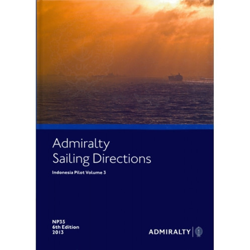





Navigate Indonesia’s waters confidently with this digital guide. Covers hazards, weather, port entry, and regulations for the Molucca, Banda, and Arafura Seas—essential for professional voyages.
Data sheet
Specific References
Navigate the complex and diverse waters of Indonesia with confidence using this comprehensive digital sailing guide. Designed for merchant mariners and offshore vessels, this publication delivers critical insights to enhance safety, optimize routes, and streamline port entries. Whether you're traversing the Molucca Sea, Banda Sea, or Arafura Sea, this guide ensures you have the most accurate and up-to-date information at your fingertips.
Updated in 2021, this 8th edition incorporates the most recent navigational data, ensuring you have the tools to navigate safely and efficiently. From weather patterns to port regulations, every detail is meticulously verified to support your voyage planning and execution.
Navigate Indonesia’s Waters with Precision and Confidence
Indonesia’s vast and intricate maritime landscape demands the most reliable navigational resources. This digital sailing guide delivers unparalleled accuracy and depth, covering critical regions from Mindanao to the Arafura Sea. Designed for professional mariners, it provides essential data to navigate safely, avoid hazards, and optimize routes in one of the world’s busiest and most diverse maritime environments.
Comprehensive Coverage for Critical Maritime Zones
This guide focuses on Indonesia’s eastern waters, including the Molucca, Ceram, Banda, and Arafura Seas. It offers detailed insights into navigational dangers, aids to navigation, and local regulations, ensuring you’re prepared for every challenge. With high-quality color photographs and port entry guides, it’s an indispensable tool for planning and executing voyages with precision.
Digital Convenience for Modern Navigation
Optimized for Windows 7 and later, this digital edition integrates seamlessly with onboard systems, providing instant access to critical data. Part of a globally trusted series of 74 volumes, it complements standard nautical charts, offering a complete solution for safe and efficient navigation. Regular updates ensure you always have the latest information, making it a must-have for commercial shipping, yachting, and offshore operations.
Trusted by Mariners Worldwide
With its 8th edition released in 2021, this guide reflects the most current maritime data, including weather patterns, port facilities, and regulatory updates. Whether you’re navigating busy shipping lanes or remote waters, this publication equips you with the knowledge to make informed decisions and enhance operational efficiency.
This digital sailing guide is tailored for professional use, offering detailed coverage of Indonesian waters between Mindanao and the Arafura Sea. It includes critical navigational data such as hazards, aids to navigation, port regulations, and pilotage details. The 8th edition, published in 2021, is compatible with Windows 7 and later versions, ensuring seamless integration with modern onboard systems. Part of a globally recognized series of 74 volumes, it provides high-quality color photographs and visual aids for enhanced situational awareness.
With a legacy spanning over two centuries, this publisher is a global leader in maritime navigation resources. Renowned for its accuracy, reliability, and innovation, it provides essential tools for mariners worldwide, including nautical charts, sailing directions, and digital solutions. Trusted by commercial fleets, naval forces, and recreational sailors, its publications are the gold standard for safe and efficient navigation.
This volume covers the waters between Mindanao and the northeast of Sulawesi, including the Molucca, Ceram, Banda, and Arafura Seas.
No, the digital publication is only compatible with Windows 7 and later versions.
It provides details on port regulations, pilotage information, entry guides, and available facilities.
Yes, it includes color photographs and high-quality coastal views to assist navigation.
The latest edition available is the 8th edition, published in 2021, ensuring up-to-date navigational information.
The physical version weighs approximately 1.05 kg.
While this volume focuses on Indonesian waters, the series covers 76 volumes worldwide, primarily for major commercial maritime routes and ports.
You might also like





































































![Admiralty - eNP054 - Sailing directions: North Sea [West]](https://www.nautic-way.com/80626-home_default/admiralty-enp054-sailing-directions-north-sea-west-maritime-bookshop-nautic-way.jpg)
![Admiralty - eNP055 - Sailing directions: North Sea [East]](https://www.nautic-way.com/90870-home_default/admiralty-enp055-sailing-directions-north-sea-east-maritime-bookshop-nautic-way.jpg)





























