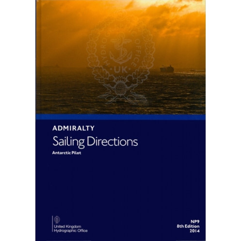





Rely on this digital guide for Antarctic voyages, featuring key details on hazards, weather, and port facilities. Designed for Windows, it’s a must-have for safe navigation in polar waters.
Data sheet
Specific References
Navigate the challenging waters of the Antarctic with confidence using this comprehensive digital sailing guide. Designed for merchant navigators on all classes of deep-sea vessels, this publication delivers critical insights for safe and efficient voyages along the Antarctic coast and surrounding islands. Whether you're charting remote polar routes or approaching lesser-known harbors, this guide ensures you have the most up-to-date information at your fingertips.
Part of a 74-volume series offering worldwide coverage, this digital edition focuses on the unique challenges of Antarctic navigation. It complements standard nautical charts with in-depth details, including:
This digital publication is optimized for professional use, offering:
Rely on the same authoritative source used by commercial fleets, research vessels, and expedition teams operating in the Antarctic. This publication is part of a globally recognized series, ensuring consistency and reliability for navigators in one of the world's most demanding maritime environments.
Navigate the Antarctic with Precision and Confidence
Sailing Directions: Antarctic Vol. 1 is your indispensable digital companion for safe and efficient navigation in the world’s most remote and challenging waters. Designed for merchant vessels, research ships, and expedition teams, this 2019 edition delivers unparalleled accuracy and detail for voyages along the Antarctic coast and surrounding islands. With coverage spanning latitudes from -45° to -58° and longitudes from -100° to 141°, this guide ensures you’re prepared for every aspect of polar navigation, from iceberg avoidance to harbor approaches in extreme conditions.
Comprehensive Data for Critical Decision-Making
This digital publication goes beyond standard nautical charts, offering a wealth of practical information tailored to the unique demands of Antarctic navigation. It includes high-resolution color photographs and coastal views to help you visually confirm landmarks and hazards, while detailed sections on buoyage, weather patterns, and tidal data provide the insights needed to plan safe passages. Whether you’re navigating through ice fields or approaching a remote research station, this guide equips you with the knowledge to make informed decisions in real time.
Optimized for Professional Use
Engineered for mariners who demand reliability, this digital edition is compatible with Windows 7 and later systems, ensuring seamless integration into your onboard navigation setup. The searchable format allows for quick access to critical information, while regular updates keep you compliant with the latest maritime regulations. As part of a 76-volume series covering global waters, this publication upholds the highest standards of accuracy and authority, making it a trusted resource for commercial fleets and expedition vessels alike.
This digital sailing guide is the 9th edition, published in 2019, and covers the Antarctic region with precise geographic coordinates spanning latitudes from -45° to -58° and longitudes from -100° to 141°. Designed as an Admiralty e-Nautical Publication (AENP), it is available exclusively in digital format, optimized for use on PCs running Windows 7 or later versions. The publication is part of a 76-volume series providing global coverage, ensuring consistency and reliability for mariners navigating some of the world’s most remote waters.
With a legacy spanning over two centuries, this publisher is a globally recognized authority in maritime navigation, trusted by commercial fleets, naval forces, and research institutions worldwide. Specializing in hydrographic data and nautical publications, their products are designed to meet the highest standards of accuracy and reliability, ensuring safe and efficient voyages across the world’s oceans. Their comprehensive range of charts, guides, and digital solutions supports mariners in navigating even the most challenging environments with confidence.
This volume covers the coasts of Antarctica and islands located south of common shipping routes, including detailed navigation information for these areas.
No, the digital version is only compatible with Windows 7 and later versions.
It includes details on port facilities, entry guides, pilotage information, and local regulations for ports in the covered regions.
The complete series consists of 76 volumes, providing worldwide coverage.
Yes, it includes color photographs and high-quality views to assist with navigation.
The physical version weighs approximately 1.68 kg.
This digital publication corresponds to the 9th edition, released in 2019.
You might also like





































































![Admiralty - eNP054 - Sailing directions: North Sea [West]](https://www.nautic-way.com/80626-home_default/admiralty-enp054-sailing-directions-north-sea-west-maritime-bookshop-nautic-way.jpg)
![Admiralty - eNP055 - Sailing directions: North Sea [East]](https://www.nautic-way.com/90870-home_default/admiralty-enp055-sailing-directions-north-sea-east-maritime-bookshop-nautic-way.jpg)





























