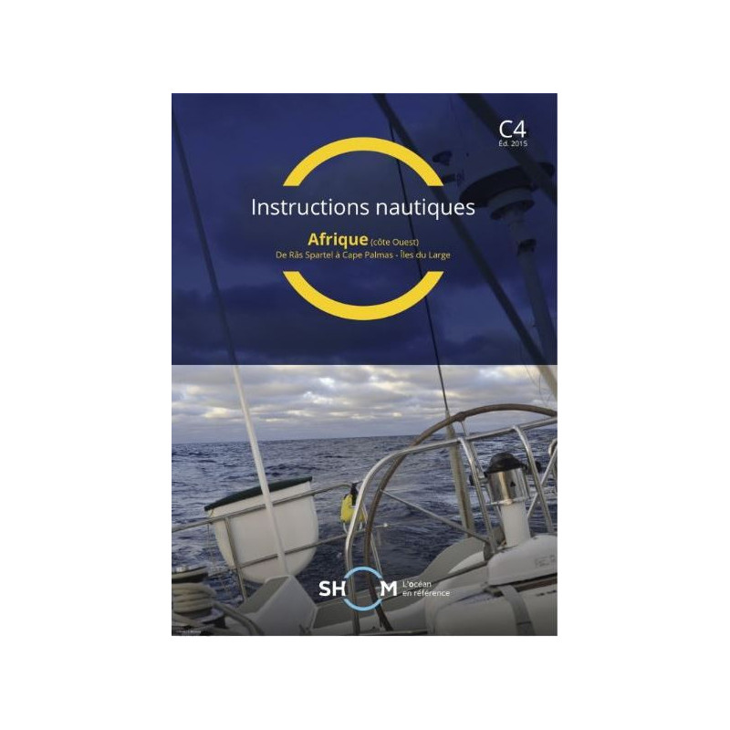





Essential digital nautical guide for West Africa’s coast, from Ras Spartel to Cap Palmas. Includes critical navigation details, regulations, and local practices for safer voyages.
Data sheet
Specific References
Navigate the West African coastline with confidence using this essential digital nautical instruction manual. Designed for professional mariners, this publication delivers critical navigational data for the region spanning from Ras Spartel to Cape Palmas, including offshore islands. It serves as an indispensable companion to marine charts, offering detailed insights that enhance safety and operational efficiency at sea.
This digital manual provides an in-depth analysis of the West African coastal zone, covering key navigational challenges and regional specifics. Mariners gain access to vital information on local maritime practices, regulatory requirements, and environmental conditions that impact vessel operations. The publication includes high-resolution plans and black-and-white imagery to support accurate route planning and hazard avoidance in these strategically important waters.
Tailored for commercial shipping, fishing fleets, and maritime logistics, this resource addresses the unique demands of professional navigation. It consolidates essential data on port approaches, anchorage zones, and coastal features that are critical for efficient voyage planning. The digital format ensures rapid access to information, enabling crews to make informed decisions in real-time operational scenarios.
Professionals rely on this publication for its authoritative coverage of the West African maritime domain. It delivers verified information on navigational aids, tidal patterns, and meteorological influences that shape vessel movements in the region. The manual's structured presentation of data supports compliance with international maritime regulations while optimizing operational workflows for commercial fleets.
The PDF format enhances usability with searchable content and portable accessibility across multiple workstations. This digital solution eliminates physical storage constraints while maintaining the same level of detail as printed counterparts. Regular updates ensure mariners always have access to the most current navigational intelligence for this critical maritime corridor.
Master the West African Coastline with Authoritative Nautical Instructions
This digital nautical manual delivers unparalleled coverage of the West African maritime zone from Ras Spartel to Cape Palmas, including offshore islands. Published in 2020, it provides professional mariners with 422 pages of verified navigational intelligence, combining regulatory data, local maritime practices, and environmental insights. The 21 x 29.7 cm PDF format ensures optimal readability while maintaining the precision required for commercial navigation.
Engineered for Professional Maritime Operations
Designed specifically for commercial shipping and maritime logistics, this publication addresses the complex navigational challenges of West African waters. It includes detailed plans and black-and-white imagery that support precise route planning and hazard identification. The digital format allows installation on up to 5 workstations, with additional licenses available in increments of 5, ensuring fleet-wide access to critical navigational data.
Continuous Updates for Operational Reliability
Mariners benefit from one year of complimentary updates, guaranteeing access to the most current navigational intelligence. The publication's comprehensive coverage includes tidal data, port regulations, and local maritime customs that impact vessel operations. This ensures compliance with international maritime standards while optimizing operational efficiency in one of the world's most strategically important shipping regions.
This digital nautical instruction manual provides 422 pages of verified navigational data in PDF format, covering the West African coastline from Ras Spartel to Cape Palmas. The 2020 edition measures 21 x 29.7 cm and includes detailed plans and black-and-white imagery. Licensed for use on 5 workstations with one year of complimentary updates, it delivers essential maritime intelligence for professional navigation in this critical region.
With over three centuries of maritime expertise, this organization serves as France's official hydrographic and oceanographic authority. Specializing in nautical documentation and marine cartography, it provides professional mariners with scientifically verified navigational resources that meet international maritime standards. The institution's publications are recognized globally for their precision and reliability in supporting safe and efficient maritime operations.
It covers the west coast of Africa from Ras Spartel to Cap Palmas, including offshore islands.
The PDF is sent via WeTransfer or a download link after purchase.
Yes, it can be used on up to 5 computers per client. Additional licenses are available in increments of 5.
Free updates are provided for one year if a new version is released.
It contains black-and-white plans and photos to assist navigation.
No, it is only available in French.
The area spans latitudes from 6°N to 42°N and longitudes from 6°W to 40°W.
You might also like