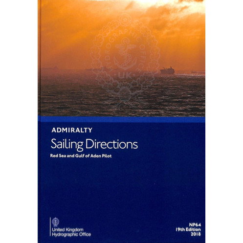





Essential digital sailing directions for the Red Sea and Gulf of Aden, offering up-to-date navigation details, hazards, and port information. Compatible with Windows 7+, updated weekly for accuracy.
Data sheet
Specific References
Navigate the complex waters of the Red Sea and Gulf of Aden with confidence using this comprehensive digital sailing directions guide. Designed specifically for merchant mariners operating on high-seas vessels, this official publication delivers critical navigation insights for one of the world's most strategically important maritime regions. Covering the Suez Canal, Gulf of Suez, Gulf of Aqaba, Red Sea, Gulf of Aden, and the southeastern coast of Arabia, this guide is an indispensable tool for safe and efficient passage planning.
Gain access to detailed information on navigation hazards, aids to navigation, pilotage services, port facilities, and local regulations. This digital guide provides in-depth coverage of seasonal currents, ice conditions, and weather patterns, ensuring you are prepared for every scenario. With high-quality color photographs, precise port entry guides, and clear visual aids, you can navigate with precision and avoid potential dangers. The publication is updated weekly via electronic Notices to Mariners, guaranteeing you always have the most current data at your fingertips.
Optimized for use on Windows 7 and later, this digital sailing directions guide is designed for quick and easy updates, taking just seconds to download the latest Notices to Mariners. Whether you're planning a passage through the Suez Canal or navigating the intricate waters of the Gulf of Aden, this guide complements Admiralty nautical charts and provides a global coverage solution with 74 volumes. Its user-friendly format ensures that critical information is always accessible, enhancing your vessel's safety and operational efficiency.
Navigate the Red Sea and Gulf of Aden with Precision and Confidence
Elevate your maritime operations with the 16th edition of the digital Sailing Directions for the Red Sea and Gulf of Aden. This official publication is a cornerstone for merchant mariners, offering unparalleled insights into one of the world's most critical maritime corridors. Whether you're transiting the Suez Canal, navigating the Gulf of Suez, or planning a passage through the Gulf of Aden, this guide provides the essential data you need to ensure safe and efficient voyages. With coverage extending from the southeastern coast of Arabia to the intricate waterways of the Red Sea, this digital resource is designed to meet the demands of modern navigation.
Real-Time Updates for Unmatched Accuracy
Stay ahead of the curve with weekly updates via electronic Notices to Mariners, ensuring your navigation data is always current. This digital guide is engineered for rapid updates, taking just seconds to download the latest information. Compatible with Windows 7 and later, it seamlessly integrates into your onboard systems, providing instant access to critical navigation details. From seasonal currents to local regulations, this guide equips you with the knowledge to navigate safely and efficiently, reducing risks and enhancing operational efficiency.
Comprehensive Coverage for Professional Mariners
This digital sailing directions guide offers more than just basic navigation data. It includes high-resolution color photographs, detailed port entry guides, and visual aids to help you identify key landmarks and hazards. Covering latitudes from 8°N to 31°N and longitudes from 20°E to 61°E, it provides a thorough overview of the region's maritime environment. Whether you're dealing with complex pilotage requirements, port facilities, or weather conditions, this guide delivers the precise information you need to make informed decisions. Trust in a publication that is part of a global series of 74 volumes, ensuring consistent and reliable data for mariners worldwide.
This 16th edition digital sailing directions guide, published in 2015, is designed for professional mariners navigating the Red Sea and Gulf of Aden. Available in English, it is compatible with Windows 7 and later, offering weekly updates via electronic Notices to Mariners for real-time accuracy. The guide covers critical areas such as the Suez Canal, Gulf of Suez, Gulf of Aqaba, and the southeastern coast of Arabia, providing essential data for safe and efficient passage planning.
With a legacy spanning over two centuries, this publisher is a global leader in maritime navigation solutions. Renowned for its precision, reliability, and innovation, it provides official nautical publications and charts used by mariners worldwide. Its products are trusted by professional navigators for their accuracy, comprehensive coverage, and commitment to safety at sea.
This publication covers the Suez Canal, Gulf of Suez, Gulf of Aqaba, Red Sea, Gulf of Aden, and the southeastern coast of Arabia.
The sailing directions are updated weekly via electronic Notices to Mariners (NMs) downloads.
This digital publication is compatible with Windows 7 and later versions.
It includes details on pilotage services, port facilities, entry guides for major ports, and relevant regulations.
Yes, the publication contains color photographs, high-quality views, and port entry guides.
Updates via electronic Notices to Mariners typically take just a few seconds to apply.
It provides detailed information on navigational hazards, buoyage, seasonal currents, ice conditions, and climatic factors.
You might also like






































































![Admiralty - eNP054 - Sailing directions: North Sea [West]](https://www.nautic-way.com/80626-home_default/admiralty-enp054-sailing-directions-north-sea-west-maritime-bookshop-nautic-way.jpg)
![Admiralty - eNP055 - Sailing directions: North Sea [East]](https://www.nautic-way.com/90870-home_default/admiralty-enp055-sailing-directions-north-sea-east-maritime-bookshop-nautic-way.jpg)




























