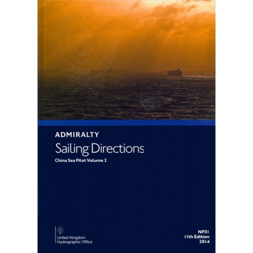





Digital sailing directions for the China Sea (Vol. 2) cover northwest Borneo, the Philippines, and key routes. Includes weekly updates, hazards, and port regulations for safe commercial navigation.
Data sheet
Specific References
Navigate the complex waters of the South China Sea with confidence using this essential digital nautical publication. Designed for merchant mariners operating commercial vessels, this guide delivers unparalleled accuracy and up-to-date information for safe and efficient passage planning. Covering critical maritime routes, it ensures compliance with international navigation standards while optimizing voyage efficiency.
This digital publication is part of a 74-volume series trusted by professional mariners worldwide. It provides authoritative information on pilotage, port facilities, meteorological conditions, and entry procedures—all formatted for quick reference and compliance with SOLAS regulations. Whether navigating congested shipping lanes or remote island chains, this guide ensures precision and safety at every stage of your voyage.
Master the South China Sea with Unmatched Nautical Precision
This digital sailing directions guide is your indispensable companion for navigating one of the world’s most strategically vital maritime regions. Covering the northwest coasts of Borneo, the Philippine islands from Cape Buliluyan to Cape Bojeador, and the intricate waters of the southern and eastern South China Sea, it provides mariners with the critical insights needed to avoid hazards, optimize routes, and ensure compliance with local and international regulations. Designed for merchant vessels of all sizes, this publication bridges the gap between traditional charting and modern digital navigation, offering a dynamic, always-updated resource for professional crews.
Engineered for Professional-Grade Navigation
Built to meet the demands of commercial shipping, this 12th edition (2016) digital guide integrates seamlessly with ECDIS and other onboard navigation systems, ensuring compatibility with Windows 7 and later platforms. Its weekly updates—delivered via Notices to Mariners—guarantee that your data remains current, reducing the risk of encountering outdated or inaccurate information. With file sizes ranging from 5MB to over 500MB, the publication balances comprehensive coverage with efficient storage, making it ideal for vessels where space and accessibility are critical.
Beyond Charts: A Multidimensional Navigation Tool
More than just a digital chart, this guide enhances situational awareness with full-color photographs, panoramic views, and detailed descriptions of navigational aids, port facilities, and pilotage procedures. It includes critical data on weather patterns, tidal currents, and local regulations, allowing crews to anticipate challenges and plan entries into ports with confidence. Whether navigating the congested waters near Palawan or the remote island chains of the South China Sea, this publication provides the depth of information required to make informed, safe decisions in real time.
Compliance and Efficiency in Every Voyage
Adhering to SOLAS (Safety of Life at Sea) regulations, this digital sailing directions guide is a must-have for vessels operating in international waters. Its structured format ensures quick access to essential information, from buoyage systems to port entry protocols, while its digital nature eliminates the need for cumbersome physical updates. By integrating this tool into your navigation workflow, you streamline voyage planning, reduce operational risks, and maintain the highest standards of maritime safety—all while keeping your crew and cargo secure in one of the world’s most challenging maritime environments.
This digital nautical publication delivers precise, up-to-date sailing directions for the South China Sea Vol. 2, covering latitudes from 4.17°N to 20°N and longitudes from 104.57°E to 121.17°E. Compatible with Windows 7 and later systems, it supports ECDIS and other digital navigation platforms, with weekly updates via Notices to Mariners to ensure compliance with SOLAS regulations. The 12th edition (2016) is available in AENP and PDF formats, with file sizes ranging from 5MB to over 500MB, offering a balance of comprehensive data and efficient storage.
With over two centuries of expertise in maritime navigation, this publisher sets the global standard for nautical publications. Renowned for accuracy, reliability, and innovation, their digital and print resources are trusted by commercial fleets, naval forces, and maritime professionals worldwide. Their commitment to weekly updates and SOLAS compliance ensures that mariners always have access to the most current and critical navigation data, making their publications an indispensable part of modern seafaring.
This volume covers the northwest coasts of Borneo, the Philippine islands from Cape Buliluyan (Palawan) to Cape Bojeador (Luzon), and islands and hazards in the southern and eastern parts of the South China Sea.
Yes, it is compatible with macOS, Windows 7 and later versions, as well as ECDIS-compliant systems.
Updates are provided weekly via Notices to Mariners, available through download or subscription.
It is available in AENP (ADMIRALTY Electronic Nautical Publication) and PDF formats.
It requires Windows 7 or later, macOS, or an ECDIS-compliant system to operate.
Yes, it includes color photographs, panoramic views, and detailed charts for navigation assistance.
The file size varies between 5MB and 500MB+, depending on the specific content and updates.
You might also like





































































![Admiralty - eNP054 - Sailing directions: North Sea [West]](https://www.nautic-way.com/80626-home_default/admiralty-enp054-sailing-directions-north-sea-west-maritime-bookshop-nautic-way.jpg)
![Admiralty - eNP055 - Sailing directions: North Sea [East]](https://www.nautic-way.com/90870-home_default/admiralty-enp055-sailing-directions-north-sea-east-maritime-bookshop-nautic-way.jpg)





























