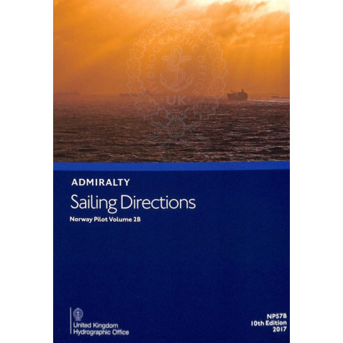





Digital guide for Norway’s west coast (Stadlandet to Vikna). Covers hazards, weather, port regulations, and pilotage for safe offshore navigation. Ideal for merchant mariners.
Data sheet
Specific References
Navigate Norway’s rugged and breathtaking west coast with confidence using this comprehensive digital sailing guide. Designed for merchant mariners and offshore vessels of all types, this publication delivers critical insights for safe and efficient passage planning. From hidden hazards to port entry procedures, this guide equips you with the knowledge needed to navigate one of the world’s most challenging yet rewarding maritime regions.
Whether you’re navigating Norway’s fjords, approaching a busy port, or planning a long offshore passage, this digital sailing guide is your indispensable tool for safe and efficient voyages. Equip your vessel with the most trusted name in maritime navigation—because when it comes to safety at sea, there’s no room for compromise.
Navigate Norway’s West Coast with Unmatched Precision and Confidence
This digital sailing guide is your ultimate resource for mastering the complexities of Norway’s west coast, from the dramatic cliffs of Stadlandet to the intricate waterways of Vikna. Designed for professional mariners, this publication delivers 394 pages of meticulously curated navigational intelligence, ensuring you have every critical detail at your fingertips—whether you’re planning a passage, identifying hazards, or preparing for port entry. With coverage spanning over 300 nautical miles, it’s the definitive tool for safe and efficient navigation in one of the world’s most demanding maritime regions.
Built for the Modern Mariner
Say goodbye to outdated paper corrections and embrace the future of navigation with this fully digital, encrypted PDF. Compatible with Windows 7 and later versions, it integrates seamlessly into your onboard systems, allowing for quick access and effortless updates. The publication is updated weekly via electronic Notices to Mariners (NMs), ensuring your data is always current—without the hassle of manual corrections. Each update takes just seconds, so you can focus on what matters most: safe and efficient passage planning.
Trusted by Professionals, Backed by Decades of Expertise
This guide is part of a global series of 74 volumes, each crafted to provide consistent, high-quality navigational data. Whether you’re navigating commercial routes, offshore operations, or recreational voyages, you can rely on this publication to deliver accurate, up-to-date information on hazards, weather conditions, pilotage details, and port regulations. With high-resolution color photographs and coastal views, you’ll have the visual references needed to identify landmarks and navigational aids with confidence. It’s not just a tool—it’s your partner in maritime safety.
Designed for Efficiency and Reliability
Every aspect of this publication is engineered to enhance your operational efficiency. From detailed port entry guides to real-time updates, it ensures you’re always prepared for the challenges of Norway’s dynamic coastal waters. The digital format eliminates the risk of human error, providing automated corrections that keep your data accurate and reliable. Whether you’re a seasoned captain or a first-time navigator, this guide empowers you to make informed decisions, reduce risks, and optimize your voyage—every time.
This digital sailing guide delivers comprehensive coverage of Norway’s west coast, from Stadlandet to Vikna, with 394 pages of detailed navigational data. Updated weekly via electronic Notices to Mariners (NMs), it ensures your information is always current, with updates applied in seconds. Compatible with Windows 7 and later, this encrypted PDF is designed for seamless integration into onboard navigation systems, providing mariners with critical insights on hazards, weather, pilotage, and port regulations.
With a legacy spanning over two centuries, this brand is the global benchmark for maritime navigation, trusted by commercial fleets, naval forces, and recreational sailors alike. Renowned for its precision, reliability, and innovation, it delivers the most accurate and up-to-date hydrographic data available, ensuring safe and efficient voyages across the world’s oceans. From digital publications to nautical charts, its products are designed to meet the highest standards of maritime safety and operational excellence.
This volume covers the west coast of Norway from Stadlandet to Vikna, including the regions from Slettringen to Halten and Trollheimsleia to Kaura.
No, the digital publication is compatible only with Windows 7 and later versions.
Updates are provided weekly through electronic Notices to Mariners (NMs) downloads, taking just a few seconds each week.
It is designed for merchant navigators operating all types of ocean-going vessels.
Yes, the publication includes color photographs and high-quality views.
This edition contains a total of 394 pages.
Yes, it is specifically designed to assist with onboard passage planning tasks, improving efficiency and accuracy.
You might also like






































































![Admiralty - eNP054 - Sailing directions: North Sea [West]](https://www.nautic-way.com/80626-home_default/admiralty-enp054-sailing-directions-north-sea-west-maritime-bookshop-nautic-way.jpg)
![Admiralty - eNP055 - Sailing directions: North Sea [East]](https://www.nautic-way.com/90870-home_default/admiralty-enp055-sailing-directions-north-sea-east-maritime-bookshop-nautic-way.jpg)




























