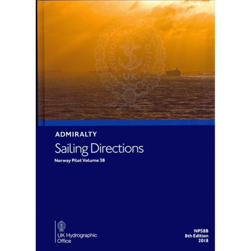





Digital sailing directions for Norway’s offshore and coastal waters (Andfjorden to Varangerfjorden). Covers hazards, weather, ports, and regulations—updated annually for merchant navigators.
Data sheet
Specific References
Navigate Norway’s rugged northern coastline with confidence using this comprehensive digital sailing guide. Covering the offshore and coastal waters from Andfjorden to Varangerfjorden, this publication delivers critical insights for mariners operating in one of the world’s most challenging yet breathtaking maritime regions. Whether you're a commercial vessel, a fishing trawler, or a leisure yacht, these directions provide the detailed intelligence needed to ensure safe and efficient passage through Norway’s fjords, archipelagos, and open seas.
Norway’s northern waters are renowned for their beauty but also their complexity. From the unpredictable weather of the Barents Sea to the narrow, winding fjords of Finnmark, mariners need reliable, up-to-date information to navigate safely. This digital sailing guide combines decades of hydrographic expertise with modern technology, delivering a tool that enhances situational awareness, reduces risk, and supports compliance with international maritime standards. Whether you're planning a voyage or already underway, this publication is your trusted companion for navigating Norway’s northern coast with precision and confidence.
Navigate Norway’s Northern Waters with Precision and Confidence
This digital sailing guide is your ultimate resource for mastering the offshore and coastal waters of Norway, from Andfjorden to Varangerfjorden. Designed for professional mariners, it provides a wealth of critical information to ensure safe, efficient, and compliant navigation in one of the world’s most challenging maritime environments. Whether you're operating a commercial vessel, a fishing trawler, or a leisure yacht, this publication equips you with the insights needed to tackle Norway’s rugged coastline, unpredictable weather, and intricate fjords.
Comprehensive Coverage for Every Voyage
Covering a vast stretch of Norway’s northern waters, this guide spans latitudes from 68.41°N to 72°N and longitudes from 11.67°E to 34.5°E. It delivers detailed descriptions of navigational hazards, including reefs, shallows, and strong currents, along with precise coordinates to help you avoid them. The publication also includes comprehensive data on buoyage systems, meteorological conditions, and pilotage procedures, ensuring you’re prepared for every aspect of your journey.
Regulatory Compliance and Port Intelligence
Stay compliant with local and international maritime regulations with up-to-date information on fishing restrictions, environmental protection zones, and reporting requirements. The guide also features an extensive port directory, detailing facilities such as berths, fueling stations, repair services, and waste disposal options. With step-by-step guidance on port entry procedures, including pilotage requirements and customs clearance, you’ll have everything you need to navigate Norway’s ports with ease.
Digital Innovation for Modern Mariners
This digital publication is part of a global series of 76 volumes, offering consistency and reliability for mariners worldwide. It includes high-quality color photographs and visual aids to help you identify landmarks and navigational aids, while its advanced search functionality allows you to quickly locate critical information. Licensed annually with electronic Notice to Mariners (NM) updates, this guide ensures your data is always current, providing peace of mind for every voyage.
This digital sailing guide is designed for professional use, offering compatibility with Windows 7 and later versions. It operates under an annual individual license, providing access to electronic Notice to Mariners (NM) updates to keep your navigational data current. The publication is part of a global series of 76 volumes, covering the offshore and coastal waters of Norway from Andfjorden to Varangerfjorden, with detailed latitude and longitude coordinates for precise navigation.
With a legacy spanning over two centuries, this publisher is a global leader in hydrographic and maritime information. Renowned for its accuracy, reliability, and innovation, it provides essential navigational tools trusted by mariners, governments, and industries worldwide. Its publications, including charts, sailing directions, and digital solutions, set the standard for safe and efficient navigation across the globe.
This volume covers the offshore and coastal waters of Norway from Andfjorden to Varangerfjorden, including specific latitudes and longitudes for precise navigation.
No, this digital publication is only compatible with Windows 7 and later versions.
Updates, including electronic Notices to Mariners (NM), are provided throughout the annual license period.
The license is individual and tied to a single user, so it is intended for use on one device at a time.
It provides details on port facilities, entry guides, and regulations for major ports within the covered area.
Yes, it includes color photographs and high-quality views to assist with navigation and identification of key landmarks.
The most recent edition mentioned is the 9th edition, released in 2022.
You might also like






































































![Admiralty - eNP054 - Sailing directions: North Sea [West]](https://www.nautic-way.com/80626-home_default/admiralty-enp054-sailing-directions-north-sea-west-maritime-bookshop-nautic-way.jpg)
![Admiralty - eNP055 - Sailing directions: North Sea [East]](https://www.nautic-way.com/90870-home_default/admiralty-enp055-sailing-directions-north-sea-east-maritime-bookshop-nautic-way.jpg)




























