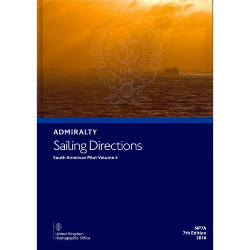





Navigate northern South America with confidence using this digital guide covering key routes from Cabo Orange to Punta Terraba. Includes weekly updates for precision and safety at sea.
Data sheet
Specific References
Navigate the complex waters of northern South America with confidence using this comprehensive digital nautical publication. Designed for merchant mariners operating on all types of ocean-going vessels, this guide delivers critical navigation data for safe and efficient passage planning. Covering the coastline from Cabo Orange to Punta Terraba, including the Río Orinoco, Trinidad and Tobago, the Dutch Antilles (Bonaire, Curaçao, Aruba), and the approach to the Panama Canal, it ensures you have the most accurate and up-to-date information at your fingertips.
Stay ahead of evolving maritime conditions with weekly electronic updates to Notices to Mariners (NMs). These updates are downloadable and can be applied in seconds, significantly improving efficiency and precision for bridge crews during passage planning. This digital format eliminates the need for manual corrections, reducing human error and ensuring compliance with the latest maritime regulations.
This publication is part of a global series of 74 volumes, offering unparalleled coverage of international waters. It complements standard nautical charts by providing detailed insights into:
Enhanced with high-quality color photographs and visual aids, this guide offers a clear and intuitive understanding of coastal features and landmarks, making it an indispensable tool for mariners.
Tailored for bridge crews, this digital publication streamlines passage planning tasks, ensuring compliance with international maritime standards. Its user-friendly interface and quick update mechanism make it a reliable resource for vessels operating in high-traffic or challenging waters. Whether navigating the bustling ports of the Caribbean or the intricate waterways of the Río Orinoco, this guide provides the precision and detail required for safe and efficient voyages.
Navigate Northern South America with Precision and Confidence
This digital nautical publication is your ultimate companion for safe and efficient navigation along the northern coast of South America. Covering critical maritime regions from Cabo Orange to Punta Terraba, including the Río Orinoco, Trinidad and Tobago, the Dutch Antilles, and the approach to the Panama Canal, it provides mariners with the most accurate and up-to-date information available. Designed for professional use on ocean-going vessels, this guide ensures compliance with international maritime standards while enhancing operational efficiency.
Stay Updated with Weekly Electronic Corrections
Unlike traditional paper publications, this digital version offers the advantage of weekly electronic updates to Notices to Mariners (NMs). These updates are easily downloadable and can be applied in seconds, eliminating the need for manual corrections and reducing the risk of human error. This feature ensures that your navigation data is always current, providing bridge crews with the confidence to plan passages accurately and efficiently.
Comprehensive and Detailed Navigation Data
Part of a global series of 74 volumes, this publication complements standard nautical charts by offering in-depth coverage of navigation hazards, buoyage systems, meteorological data, and tidal information. It also includes detailed pilotage instructions, port regulations, and entry procedures, making it an indispensable resource for mariners operating in complex or high-traffic waters. Enhanced with high-quality color photographs and visual aids, it provides a clear and intuitive understanding of coastal features and landmarks.
Designed for Professional Mariners
Tailored for merchant mariners, this digital guide is optimized for passage planning tasks on board vessels. Its user-friendly interface and quick update mechanism make it a reliable tool for ensuring safe and compliant navigation. Whether you're navigating the bustling ports of the Caribbean or the intricate waterways of the Río Orinoco, this publication delivers the precision and detail required for successful voyages.
This digital nautical publication is the 7th edition (2016) of the *Sailing Directions: South America Volume 4 Part A*, designed for use on PCs running Windows 7 or later. It is updated weekly with electronic Notices to Mariners (NMs) for real-time accuracy, ensuring mariners have the latest navigation data. The publication covers latitudes from 4°N to 15°N and longitudes from 51°W to 83°W, providing comprehensive guidance for northern South America’s coastal and inland waterways.
Trusted by mariners worldwide, this series of nautical publications is developed by a leading authority in hydrographic and maritime navigation. Renowned for accuracy, reliability, and adherence to international standards, these guides are an essential resource for professional navigation, ensuring safety and efficiency in global waters.
This volume covers the northern coast of South America, from Cabo Orange to Punta Terraba, including the Río Orinoco, Trinidad and Tobago, the Dutch Antilles (Bonaire, Curaçao, Aruba), and the approach to the Panama Canal.
No, this digital publication is only compatible with Windows 7 and later versions.
Updates are provided weekly through downloadable electronic Notices to Mariners (NMs), which can be applied in seconds.
It is designed for merchant navigators operating all types of ocean-going vessels.
Yes, it includes color photos and high-quality views to assist with navigation.
Yes, it is specifically designed for onboard passage planning tasks and provides essential navigation information.
This is the 7th edition, published in 2016.
You might also like





































































![Admiralty - eNP054 - Sailing directions: North Sea [West]](https://www.nautic-way.com/80626-home_default/admiralty-enp054-sailing-directions-north-sea-west-maritime-bookshop-nautic-way.jpg)
![Admiralty - eNP055 - Sailing directions: North Sea [East]](https://www.nautic-way.com/90870-home_default/admiralty-enp055-sailing-directions-north-sea-east-maritime-bookshop-nautic-way.jpg)





























