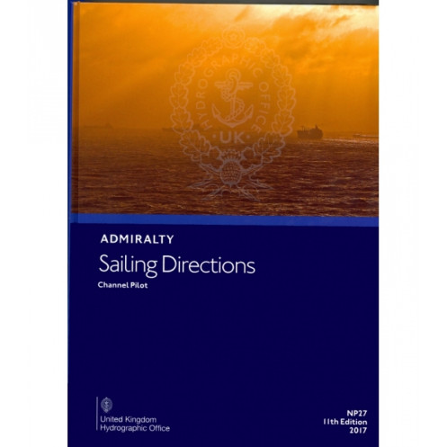





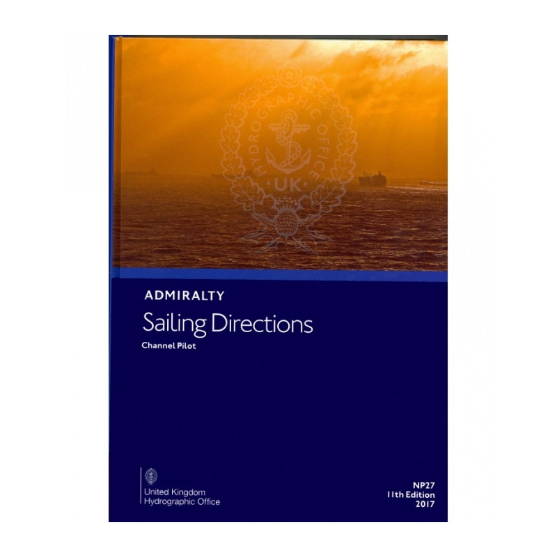
Essential digital sailing directions for the English Channel, covering southern England and northern France. Includes hazards, weather, port regulations, and pilotage details for merchant navigators.
Data sheet
Specific References
Navigate the challenging waters of the English Channel and French coasts with confidence. This official digital sailing directions publication delivers precise, up-to-date guidance for mariners operating in one of the world’s busiest maritime regions. Whether you're a commercial vessel captain, a seasoned sailor, or a maritime professional, this comprehensive resource ensures you have the critical information needed to plan and execute safe voyages.
Developed by the United Kingdom Hydrographic Office, this digital publication upholds the highest standards of accuracy and reliability. It is an indispensable tool for mariners who demand precision, efficiency, and safety in their operations. Whether you're navigating congested shipping lanes, entering unfamiliar ports, or planning long-distance voyages, this guide provides the confidence and clarity you need to navigate with ease.
Navigate the English Channel and French Coasts with Unmatched Precision
This official digital sailing directions publication is your ultimate companion for safe and efficient navigation in one of the world’s most complex maritime regions. Designed for merchant mariners, commercial vessels, and professional sailors, it provides comprehensive, up-to-date guidance for the Isles of Scilly, the southern coast of England, and the northwest and northern coasts of France. With its 14th edition released in 2023, this digital guide ensures you have the latest navigational data at your fingertips, backed by the expertise of the United Kingdom Hydrographic Office.
Comprehensive Coverage for High-Stakes Navigation
Covering over 600 nautical miles of coastline, this publication delivers detailed sailing directions from Cape Cornwall to Bognor Regis in England, and from Pointe de Penmarch to Cap d’Antifer in France. It includes critical information for navigating high-traffic shipping lanes, congested harbor approaches, and challenging coastal passages. Whether you're piloting a cargo ship, tanker, or passenger vessel, this guide equips you with the knowledge to avoid hazards, optimize routes, and comply with local regulations.
Digital Convenience for Modern Mariners
Available as a digital download with an annual license, this publication is compatible with the ADMIRALTY e-Reader software, designed exclusively for Windows 7 and later. The digital format allows for seamless updates, ensuring you always have the most current data without the hassle of physical replacements. With searchable text, bookmarking, and annotation tools, you can tailor the guide to your specific needs, making it an indispensable tool for both planning and real-time navigation.
Trusted by Professionals for Over a Century
For generations, mariners have relied on this publication for its unparalleled accuracy and reliability. It complements standard nautical charts by providing in-depth local knowledge, including weather patterns, tidal streams, buoyage systems, and port entry procedures. Whether you're navigating the busy waters of the English Channel or entering a French port, this guide ensures you have the confidence and clarity to make informed decisions every step of the way.
This digital sailing directions publication provides official navigational guidance for the English Channel and French coasts, covering over 600 nautical miles from Cape Cornwall to Bognor Regis and Pointe de Penmarch to Cap d’Antifer. Released in its 14th edition in 2023, it is available as a digital download with an annual license, compatible exclusively with the ADMIRALTY e-Reader software on Windows 7 and later. The guide includes detailed information on hazards, buoyage, weather, pilotage, port regulations, and entry procedures, ensuring compliance and safety for merchant mariners and professional sailors.
With a legacy spanning over two centuries, the publisher behind this publication is a global leader in maritime data and hydrographic services. Renowned for its accuracy, reliability, and innovation, it provides essential navigational resources to mariners, governments, and maritime organizations worldwide. Its products are trusted by commercial fleets, naval forces, and recreational sailors alike, setting the standard for safety and efficiency in marine navigation.
The sailing directions cover the Isles of Scilly, the southern coast of England from Cape Cornwall to Bognor Regis, and the northwest and northern coasts of France from Pointe de Penmarch to Cap d’Antifer.
No, the digital publication requires the ADMIRALTY e-Reader software, which is only compatible with Windows 7 and later versions.
The latest edition available is the 14th edition, released in 2023. Updates are typically released as new editions when significant navigational changes occur.
An annual individual license is required to access the digital publication, and it must be used with the ADMIRALTY e-Reader software.
The ADMIRALTY e-Reader software is compatible only with Windows 7 and later versions. No other operating systems are supported.
Yes, it covers port regulations, available facilities, and entry guides, along with other critical navigational details like hazards, buoyage, and weather conditions.
Yes, once downloaded and activated with the ADMIRALTY e-Reader software, the publication can be accessed offline for navigation purposes.
You might also like





































































![Admiralty - eNP054 - Sailing directions: North Sea [West]](https://www.nautic-way.com/80626-home_default/admiralty-enp054-sailing-directions-north-sea-west-maritime-bookshop-nautic-way.jpg)
![Admiralty - eNP055 - Sailing directions: North Sea [East]](https://www.nautic-way.com/90870-home_default/admiralty-enp055-sailing-directions-north-sea-east-maritime-bookshop-nautic-way.jpg)





























