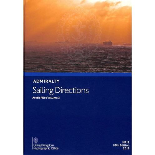





Navigate Arctic waters safely with this digital guide. It covers hazards, weather, and port procedures, ensuring informed decisions for merchant vessels in extreme conditions.
Data sheet
Specific References
Navigate the Arctic’s challenging waters with confidence using this comprehensive digital sailing directions guide. Designed for merchant mariners and offshore vessels, this publication delivers critical insights into Arctic navigation, including hazards, buoyage systems, and meteorological data. It’s an indispensable resource for safe and efficient voyages in one of the world’s most remote and demanding maritime environments.
This digital guide provides detailed pilotage information, port regulations, and entry guides tailored to Arctic conditions. It complements standard nautical charts, offering enhanced situational awareness with high-quality color photographs and precise coastal views. Whether you're planning a route or navigating in real-time, this publication ensures you have the most accurate and up-to-date information at your fingertips.
As part of a global series of 74 volumes, this digital edition is engineered for seamless integration into modern navigation systems. Compatible with Windows 7 and later versions, it offers the convenience of instant access to vital data without the bulk of traditional paper publications. Ideal for vessels operating in Arctic regions, it combines reliability with cutting-edge digital functionality.
Published by a leading authority in hydrographic data, this sailing directions guide is a trusted companion for mariners navigating Arctic waters. Its detailed content, including precise coordinates and navigational warnings, ensures compliance with international maritime standards. Equip your vessel with this essential tool to enhance safety, efficiency, and preparedness in the Arctic.
Master Arctic Navigation with the Ultimate Digital Guide
Sailing Directions: Arctic Vol. 3 is a must-have digital publication for mariners navigating the Arctic’s treacherous waters. This 9th edition, published in 2012, provides unparalleled insights into the region’s unique challenges, from shifting ice conditions to remote port regulations. Designed to complement standard nautical charts, it offers a wealth of information tailored to merchant vessels and offshore ships, ensuring safe and efficient voyages in one of the world’s most demanding maritime environments.
Precision Data for Critical Decision-Making
This digital guide covers a vast Arctic region, spanning latitudes from 47°N to 85°N and longitudes from -141°W to -33.83°W. It includes detailed pilotage instructions, navigational hazards, and meteorological data, all presented in a user-friendly digital format. High-resolution color photographs and coastal views provide visual references to enhance situational awareness, while precise coordinates and buoyage details ensure accurate route planning.
Seamless Integration with Modern Navigation Systems
Optimized for Windows 7 and later versions, this digital publication is engineered for compatibility with modern navigation tools. It eliminates the need for bulky paper manuals, offering instant access to critical data at the click of a button. Whether you're preparing for a voyage or navigating in real-time, this guide ensures you have the most reliable and up-to-date information available.
Trusted by Mariners for Over a Century
Published by a globally recognized authority in hydrographic data, this sailing directions guide is part of a series of 74 volumes covering the world’s oceans. Its reputation for accuracy and reliability makes it an essential resource for mariners operating in Arctic waters. Equip your vessel with this indispensable tool to navigate with confidence and compliance in one of the most remote and challenging maritime regions.
This digital sailing directions guide, Sailing Directions: Arctic Vol. 3, is the 9th edition published in 2012. It is designed for use on PCs running Windows 7 or later versions and provides comprehensive coverage of Arctic waters, including latitudes from 47°N to 85°N and longitudes from -141°W to -33.83°W. The publication includes detailed pilotage information, navigational hazards, meteorological data, and port regulations, all presented in a user-friendly digital format.
For over two centuries, this organization has been a global leader in hydrographic data and maritime navigation. Renowned for its accuracy and reliability, it provides essential resources for mariners worldwide, including nautical charts, sailing directions, and digital publications. Its commitment to safety and innovation has made it a trusted name in the maritime industry.
This volume covers Arctic regions between latitudes 47°N to 85°N and longitudes 141°W to 33.83°E, including specific areas such as the Canadian Arctic, Greenland, and parts of the Russian Arctic.
No, this digital publication is only compatible with Windows 7 and later versions.
It includes information on ice conditions, shallow waters, uncharted rocks, and other hazards specific to Arctic navigation, along with guidance on safe passage.
Yes, the publication includes color photographs, high-quality views of coastal landmarks, and detailed charts to support safe navigation.
Updates are released periodically by the publisher, with this edition being the 9th, published in 2012. It is recommended to check for newer editions for the most current information.
Yes, it provides detailed port regulations, entry procedures, and information on available facilities for vessels navigating Arctic waters.
Yes, once downloaded, the digital publication can be accessed offline, making it suitable for use at sea without an internet connection.
You might also like





































































![Admiralty - eNP054 - Sailing directions: North Sea [West]](https://www.nautic-way.com/80626-home_default/admiralty-enp054-sailing-directions-north-sea-west-maritime-bookshop-nautic-way.jpg)
![Admiralty - eNP055 - Sailing directions: North Sea [East]](https://www.nautic-way.com/90870-home_default/admiralty-enp055-sailing-directions-north-sea-east-maritime-bookshop-nautic-way.jpg)





























