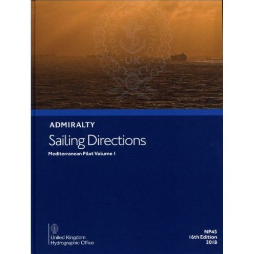





Navigate the Mediterranean’s key regions—Spain, Balearics, North Africa, Sicily, and Italy—with this digital guide. Includes hazards, weather, port rules, and pilotage for seamless voyages.
Data sheet
Specific References
Navigate the Mediterranean’s most complex waters with confidence using this comprehensive digital sailing guide. Designed for professional mariners, commercial vessels, and serious sailors, this publication delivers unmatched precision and up-to-date navigational intelligence for the western Mediterranean. Whether you're charting a course along Spain’s rugged coastline, maneuvering through the Balearic Islands, or approaching Sicily’s busy ports, this guide ensures you have the critical insights needed to sail safely and efficiently.
This digital edition covers a vast and strategically vital region, including:
More than just a digital book, this guide is a powerful navigational tool packed with actionable intelligence:
Engineered for mariners who demand reliability, this digital guide is:
While electronic charts provide the foundation for modern navigation, this digital sailing guide delivers the context, detail, and local knowledge that charts alone cannot. It bridges the gap between raw data and real-world decision-making, offering:
Designed to complement your existing navigation tools, this digital guide works in tandem with:
The Mediterranean is a dynamic maritime environment, with shifting sandbars, new port constructions, and evolving regulations. This 15th edition (2014) ensures you’re working with the most current information available, giving you a competitive edge in safety, efficiency, and compliance. The annual licensing model guarantees you’ll always have access to the latest data without the hassle of purchasing new editions.
From commercial shipping fleets to private yacht owners, this publication is the gold standard for Mediterranean navigation. It’s relied upon by:
Don’t leave your Mediterranean voyages to chance. Equip your vessel with the most trusted digital sailing directions available and gain the confidence that comes with having expert-level navigational intelligence at your fingertips. Whether you’re a seasoned captain or a professional mariner, this guide is your key to mastering the western Mediterranean’s most demanding waters.
Master the Western Mediterranean with Unmatched Digital Precision
Sailing the Mediterranean’s western waters demands more than just charts—it requires deep local knowledge, real-time hazard awareness, and expert pilotage guidance. The Sailing Directions: Mediterranean Vol. 1 – eNP045 delivers all this and more in a powerful digital format, designed to elevate your navigation from routine to exceptional. This 15th edition (2014) is the definitive resource for mariners who refuse to compromise on safety, efficiency, or compliance.
Engineered for Professional-Grade Navigation
Built for commercial vessels, merchant mariners, and serious sailors, this digital guide covers a vast and strategically critical region: from Spain’s Gibraltar to Italy’s Capo Santa Maria di Leuca, including the Balearic Islands, North Africa’s coastline, Sicily, and the Maltese archipelago. With full-color photographs, panoramic views, and detailed hazard warnings, it transforms raw chart data into actionable intelligence, ensuring you can navigate even the most complex waterways with confidence.
Beyond Charts: The Human Touch for Smarter Decisions
While electronic charts provide the foundation for modern navigation, this guide adds the context, nuance, and local expertise that charts alone cannot. It includes port regulations, pilotage instructions, meteorological data, and buoyage details, giving you a 360-degree view of your route. Whether you’re approaching a busy commercial harbor or transiting a narrow channel, you’ll have the insights needed to make informed, split-second decisions.
Optimized for Your Onboard Systems
This digital guide is compatible with Windows 7 and later and is accessed via the ADMIRALTY e-Reader, a secure and intuitive platform designed for professional mariners. The annual licensing model ensures you always have access to the latest updates, eliminating the need to purchase new editions and keeping your navigation suite current with minimal effort.
Built for the Demands of Modern Maritime Operations
From reducing fuel consumption with optimized routes to minimizing risk with proactive hazard identification, this guide is an indispensable tool for vessels of all sizes. It’s trusted by merchant fleets, port authorities, offshore operators, and search and rescue teams, proving its value in the most demanding maritime environments. With this guide, you’re not just navigating—you’re navigating smarter.
This digital sailing guide is a 15th edition (2014) publication in English, designed for professional mariners and compatible with Windows 7 and later via the ADMIRALTY e-Reader. It covers the western Mediterranean, including the Spanish coast from Gibraltar to Cap Cerbère, the Balearic Islands, North Africa’s coastline from Ceuta to Ra’s Ajdir, Pantelleria, the Pelagie Islands, Malta, Sicily, the Aeolian Islands, and Italy’s coast from Capo Suvero to Capo Santa Maria di Leuca. The guide features full-color photographs, panoramic views, hazard warnings, buoyage details, meteorological data, port regulations, and pilotage instructions. It operates under an annual individual license, ensuring access to the latest navigational intelligence without the need for physical updates.
For over two centuries, this organization has set the global standard for maritime navigation, providing hydrographic data, charts, and publications trusted by professional mariners worldwide. Their products are renowned for their precision, reliability, and adherence to international maritime standards, making them an indispensable resource for vessels navigating the world’s most challenging waters.
This volume covers the Spanish coast from Gibraltar to Cap Cerbère, the Balearic Islands, the North African coast from Ceuta to Ra's Ajdir, Pantelleria and the Pelagie Islands, the Maltese Islands, the Egadi Islands, Sicily, the Aeolian Islands, and the Italian coast from Capo Suvero to Capo Santa Maria di Leuca.
No, this digital publication requires the ADMIRALTY e-Reader software, which is only compatible with Windows 7 and later versions.
It includes details on port regulations, pilotage information, port entry guides, and navigational hazards specific to each port.
The license for this digital publication is valid for one year and must be renewed annually.
Yes, it contains color photographs and panoramic views to assist with navigation and port identification.
You need a device running Windows 7 or later and the ADMIRALTY e-Reader software installed.
Yes, it includes meteorological data relevant to the covered regions to assist with safe navigation.
You might also like





































































![Admiralty - eNP054 - Sailing directions: North Sea [West]](https://www.nautic-way.com/80626-home_default/admiralty-enp054-sailing-directions-north-sea-west-maritime-bookshop-nautic-way.jpg)
![Admiralty - eNP055 - Sailing directions: North Sea [East]](https://www.nautic-way.com/90870-home_default/admiralty-enp055-sailing-directions-north-sea-east-maritime-bookshop-nautic-way.jpg)





























