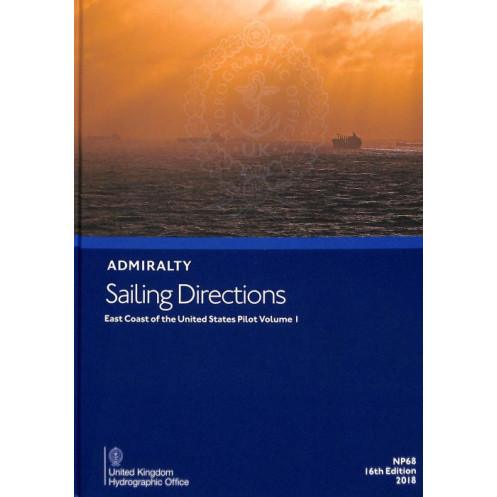





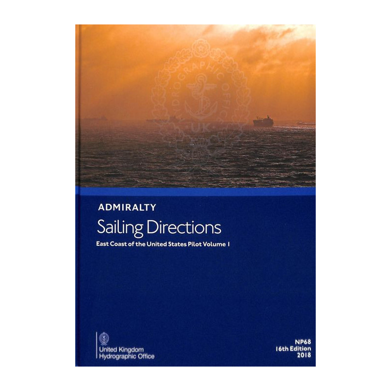
Essential digital sailing directions for the U.S. East Coast, Volume 1. Covers navigation hazards, weather, port facilities, and pilotage details to ensure safe voyages for merchant mariners.
Data sheet
Specific References
Navigate the East Coast of the United States with confidence using this comprehensive digital sailing directions guide. Designed for merchant mariners and all categories of ocean-going vessels, this publication delivers critical navigation insights to ensure safe and efficient voyages. From hidden hazards to detailed port entry guides, this volume is your trusted companion for mastering the complexities of one of the world’s busiest maritime regions.
Navigate the East Coast with Unmatched Precision and Confidence
This digital sailing directions guide is an indispensable tool for mariners navigating the East Coast of the United States. Whether you're a seasoned captain or a maritime professional, this publication provides the critical insights needed to ensure safe, efficient, and compliant voyages. Covering latitudes from 39.75°N to 45°N and longitudes from 83°W to 67.58°W, it delivers unparalleled coverage of one of the most dynamic maritime regions in the world.Designed specifically for merchant vessels and all categories of ocean-going ships, this guide offers a wealth of information, including detailed descriptions of navigation hazards, buoyage systems, and meteorological data. It also provides essential pilotage instructions, port regulations, and facility details, making it easier than ever to plan and execute port entries and departures with confidence. High-quality color photographs and visual aids further enhance situational awareness, ensuring that you can make informed decisions in real-time.As part of a globally recognized series of 76 volumes, this publication is trusted by maritime professionals. The digital format ensures easy access and compatibility with Windows 7 and later operating systems, allowing for quick reference and updates. Whether you're navigating busy shipping lanes or entering a unfamiliar port, this guide is your ultimate resource for mastering the complexities of the East Coast.
This digital sailing directions guide offers a robust set of features tailored for professional mariners. Published in 2016 as the 15th edition, it provides up-to-date and accurate navigation data for the East Coast of the United States. The digital format ensures compatibility with Windows 7 and later operating systems, making it accessible and easy to use. Weighing just 1.10 kg, this guide is part of a comprehensive series of 76 volumes, covering maritime regions worldwide. It is written in English and includes high-quality color photographs and visual aids to support safe and efficient navigation.
For over two centuries, this organization has been a global leader in maritime navigation and hydrographic services. Renowned for its accuracy, reliability, and innovation, it provides essential resources for mariners worldwide, ensuring safe and efficient voyages across the world's oceans. Its publications are trusted by commercial fleets, naval forces, and recreational sailors alike, setting the standard for navigation excellence.
This volume covers the East Coast of the United States, specifically detailing navigation information from latitude 39.75°N to 45°N and longitude 83°W to 67.58°W.
No, the digital sailing directions are only compatible with Windows 7 and later versions.
The guide includes color photographs and high-quality views to assist with navigation and port entry.
Updates depend on new editions; this 15th edition was published in 2016. It is part of a global series updated periodically.
Yes, once downloaded, the digital sailing directions can be accessed offline on compatible Windows devices.
These directions are designed for merchant navigators operating all categories of deep-sea vessels.
Yes, the guide provides comprehensive information on port facilities, entry guides for major ports, and relevant maritime regulations.
You might also like






































































![Admiralty - eNP054 - Sailing directions: North Sea [West]](https://www.nautic-way.com/80626-home_default/admiralty-enp054-sailing-directions-north-sea-west-maritime-bookshop-nautic-way.jpg)
![Admiralty - eNP055 - Sailing directions: North Sea [East]](https://www.nautic-way.com/90870-home_default/admiralty-enp055-sailing-directions-north-sea-east-maritime-bookshop-nautic-way.jpg)




























