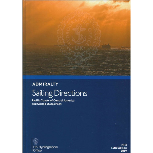





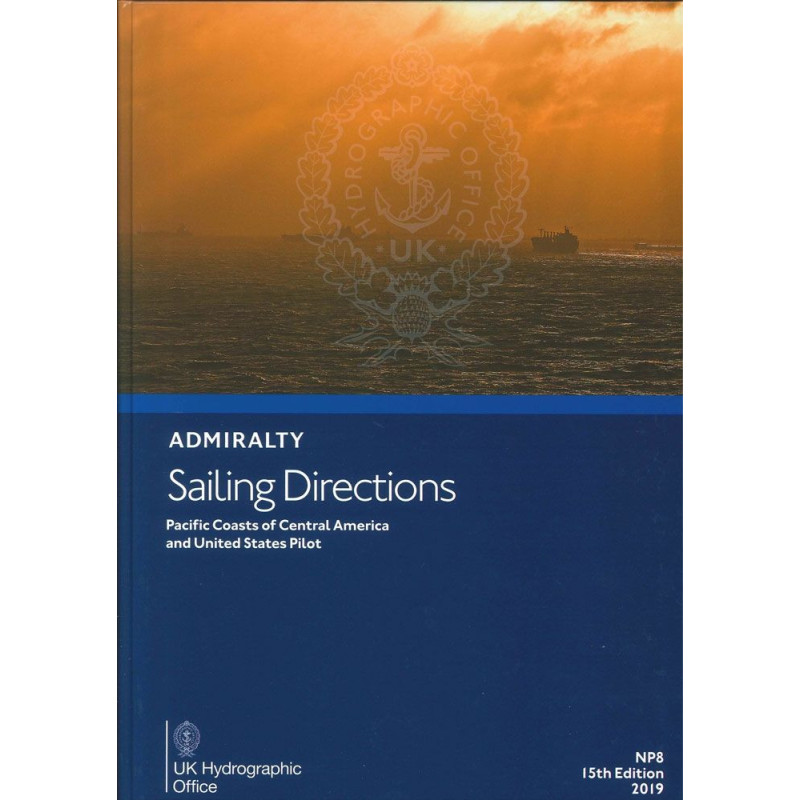
Essential sailing directions for the Pacific coasts of Central America and the U.S. Packed with critical navigation data, weather insights, and port regulations to ensure safe and efficient voyages.
Data sheet
Specific References
Navigate the Pacific coasts of Central America and the United States with confidence using this comprehensive digital sailing guide. Designed for merchant mariners and all types of ocean-going vessels, this publication delivers critical navigation insights tailored to the unique challenges of these waters. From hidden hazards to port entry protocols, it’s your trusted resource for safe and efficient voyages.
This digital guide complements standard nautical charts, offering a global coverage system spanning 74 volumes. Each volume is meticulously crafted to provide localized insights, ensuring you have the most relevant information for your route. High-quality color photographs and detailed coastal views enhance situational awareness, making it easier to identify landmarks and navigate unfamiliar waters.
Whether you're planning a voyage along the bustling ports of California or the remote coasts of Central America, this publication provides the depth of information needed to navigate safely. Its blend of technical precision and practical insights makes it an indispensable tool for mariners who demand reliability and accuracy in their navigational resources.
Master the Pacific Coast with Unrivaled Nautical Guidance
Sailing the Pacific coasts of Central America and the United States demands precision, local knowledge, and reliable resources. This digital sailing directions guide delivers all three, offering mariners an in-depth, up-to-date reference for navigating one of the world’s most diverse and challenging maritime regions. Whether you're a commercial captain, a seasoned sailor, or a maritime professional, this publication ensures you have the critical insights needed to avoid hazards, comply with regulations, and optimize your route.
Comprehensive Coverage for Safe and Efficient Voyages
Spanning latitudes from 3° to 48.42°N and longitudes from 80.5°W to 140°W, this guide covers a vast stretch of the Pacific coastline, including major ports, hidden coves, and high-traffic shipping lanes. It provides detailed information on navigational dangers such as reefs, wrecks, and shallow waters, along with precise buoyage and marking systems to keep your vessel on course. Meteorological data, including seasonal weather patterns and storm risks, helps you plan voyages with confidence, while pilotage instructions offer step-by-step guidance for entering harbors and navigating complex coastal areas.
Regulatory Compliance and Port Readiness
Navigating foreign and domestic waters requires adherence to local regulations, and this guide ensures you stay compliant. It includes up-to-date port procedures, customs requirements, and berthing information for major and minor ports alike. Detailed descriptions of port facilities—such as fuel availability, repair services, and supply options—help you prepare for every stop, reducing downtime and enhancing operational efficiency. Whether you're docking in a bustling commercial hub or a remote anchorage, this publication provides the insights needed to streamline your journey.
Designed for the Digital Age
Gone are the days of flipping through cumbersome paper manuals. This digital guide is optimized for modern navigation systems, offering quick access to information with a user-friendly interface. Compatible with Windows 7 and later, it integrates seamlessly with onboard PCs, ensuring you can retrieve critical data at a moment’s notice. High-resolution color photographs and coastal views further enhance situational awareness, allowing you to identify landmarks and hazards with ease. Regular updates ensure the content remains current, reflecting changes in maritime conditions, regulations, and port infrastructure.
A Trusted Resource for Global Mariners
Part of a global series of 74 volumes, this guide is trusted by mariners worldwide for its accuracy, depth, and reliability. Whether you're navigating the busy shipping lanes of Southern California, the volcanic coasts of Central America, or the remote inlets of the Pacific Northwest, this publication equips you with the knowledge to sail safely and efficiently. It’s not just a tool—it’s your partner in maritime navigation, designed to meet the demands of today’s mariners.
This digital sailing directions guide is the 14th edition, published in 2016, and is available exclusively in English. Designed for compatibility with Windows 7 and later, it provides a fully digital experience optimized for onboard navigation systems. Covering latitudes from 3° to 48.42°N and longitudes from 80.5°W to 140°W, it delivers precise, localized information for the Pacific coasts of Central America and the United States, ensuring mariners have the most relevant and up-to-date data for their voyages.
For over two centuries, this organization has been the gold standard in maritime navigation, providing mariners with accurate, reliable, and comprehensive nautical publications. Renowned for their precision and global coverage, their resources are trusted by commercial fleets, naval forces, and recreational sailors alike. Each publication is meticulously researched and regularly updated to reflect the latest maritime conditions, ensuring safety and efficiency on the world’s oceans.
This volume covers the Pacific coasts of Central America and the United States, including detailed navigation information for these areas.
No, this digital publication is compatible only with Windows 7 and later versions.
It is designed for merchant navigators operating all types of ocean-going vessels.
Yes, it includes color photographs and high-quality views to assist with navigation.
Yes, it provides details on port regulations, pilotage information, and entry guides for the covered regions.
The latest edition available is the 14th edition, published in 2016.
Yes, once downloaded, it can be accessed and used offline for navigation purposes.
You might also like






































































![Admiralty - eNP054 - Sailing directions: North Sea [West]](https://www.nautic-way.com/80626-home_default/admiralty-enp054-sailing-directions-north-sea-west-maritime-bookshop-nautic-way.jpg)
![Admiralty - eNP055 - Sailing directions: North Sea [East]](https://www.nautic-way.com/90870-home_default/admiralty-enp055-sailing-directions-north-sea-east-maritime-bookshop-nautic-way.jpg)