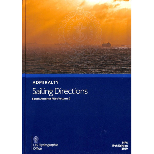





Navigate South America’s southern shores—Cabo Tres Puntas to Cabo Raper—with this digital guide. Includes pilotage, hazards, weather, and port details for seamless merchant voyages.
Data sheet
Specific References
Navigate the southern coasts of South America with confidence using this comprehensive digital sailing guide. Covering critical areas from Cabo Tres Puntas to Cabo Raper, including the Falkland Islands, this publication delivers precise, up-to-date information tailored for merchant mariners and deep-sea vessels. Whether planning port entries or coastal passages, this resource ensures safe and efficient voyages with detailed pilotage instructions, regulatory insights, and hazard warnings.
This digital sailing direction is an indispensable tool for professional navigators operating in South American waters. With its blend of technical precision, regulatory compliance, and ease of use, it enhances safety and efficiency for vessels of all sizes. Stay ahead of evolving maritime conditions with a resource that evolves alongside your voyage needs.
Navigate South America’s Southern Coasts with Unrivaled Precision
This digital sailing direction is your ultimate companion for safe and efficient navigation along South America’s southern shores, from Cabo Tres Puntas to Cabo Raper, including the Falkland Islands. Designed for merchant mariners and deep-sea vessels, it provides critical insights for port entries, coastal passages, and hazard avoidance, ensuring compliance with maritime regulations and best practices.
Comprehensive and Up-to-Date Maritime Intelligence
Stay informed with the latest navigational data, including detailed pilotage instructions, port facilities, meteorological conditions, and regulatory requirements. This digital publication is updated weekly via Notices to Mariners (NMs), guaranteeing that you always have the most accurate and current information at your fingertips. High-resolution color photographs and navigational views further enhance your ability to identify key landmarks and hazards.
Seamless Digital Integration for Onboard Use
Optimized for Windows 7 and later systems, this digital guide is compatible with the ADMIRALTY e-Reader software, ensuring smooth and efficient access during voyages. Updates are quick and effortless, taking just seconds to download and apply, so you can focus on what matters most—safe navigation. The annual individual license provides continuous access to this essential resource, making it a cost-effective solution for professional mariners.
Engineered for Professional Navigators
Whether you’re planning a complex port entry or navigating challenging coastal waters, this sailing direction delivers the precision and reliability needed for modern maritime operations. Its user-friendly interface and detailed content make it an invaluable tool for enhancing situational awareness and operational efficiency, ensuring that your voyages are both safe and successful.
This digital sailing direction provides comprehensive coverage of South America’s southern coastlines, including latitudes from -58° to -46.4° and longitudes from -50° to -100°. Published in 2019 with the latest 2025 edition, it is available in a fully digital format, compatible with Windows 7 and later systems. The publication requires the ADMIRALTY e-Reader software and operates under an annual individual license, with weekly updates via Notices to Mariners (NMs) for real-time accuracy.
With a legacy of excellence in maritime navigation, this publisher is a global leader in providing accurate, reliable, and up-to-date nautical information. Trusted by mariners worldwide, their digital publications are designed to meet the highest standards of safety and efficiency, ensuring that navigators have the tools they need to operate with confidence in any waters.
This volume covers the southern coasts of South America, from Cabo Tres Puntas to Cabo Raper, including the Falkland Islands.
No, the software required to access this publication is only compatible with Windows 7 and later versions.
Updates are provided weekly through electronic Notices to Mariners (NMs) downloads, taking just a few seconds to apply.
An individual annual license is required to access and use this digital sailing directions guide.
Yes, it is designed for onboard passage planning, providing essential details for safe and efficient navigation.
Yes, it includes color photographs and high-quality coastal views to assist with navigation and pilotage.
It includes details on port facilities, pilotage regulations, navigational hazards, aids to navigation, and entry guides for safe port access.
You might also like





































































![Admiralty - eNP054 - Sailing directions: North Sea [West]](https://www.nautic-way.com/80626-home_default/admiralty-enp054-sailing-directions-north-sea-west-maritime-bookshop-nautic-way.jpg)
![Admiralty - eNP055 - Sailing directions: North Sea [East]](https://www.nautic-way.com/90870-home_default/admiralty-enp055-sailing-directions-north-sea-east-maritime-bookshop-nautic-way.jpg)





























