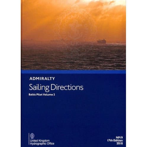





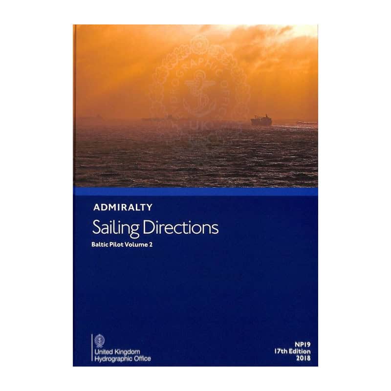
Navigate the Baltic Sea safely with this digital guide. Includes hazards, weather data, port facilities, and regulations for commercial shipping. Compatible with Windows 7 and above.
Data sheet
Specific References
Navigate the Baltic Sea with confidence using this comprehensive digital sailing guide, designed for merchant mariners and commercial vessels. Covering critical maritime routes and key ports, this publication delivers unparalleled insights into safe and efficient navigation. Whether you're planning a voyage or already at sea, this guide ensures you have the most accurate and up-to-date information at your fingertips.
This digital nautical guide provides detailed information on:
This guide goes beyond text with high-quality color photographs and detailed port views, helping you recognize landmarks, entry points, and critical navigation features at a glance. These visual aids are invaluable for verifying your position and making informed decisions in real time.
Part of a globally recognized series of 74 volumes, this digital guide complements standard nautical charts, offering a complete solution for safe and efficient navigation. Whether you're navigating busy commercial routes or remote coastal areas, this publication ensures you have the knowledge to sail with confidence.
Designed for modern mariners, this digital version is compatible with Windows 7 and later, providing easy access to critical information without the bulk of traditional paper guides. Its user-friendly format allows for quick searches, bookmarking, and seamless integration with your onboard navigation systems.
Master the Baltic Sea with the Ultimate Digital Navigation Guide
Sailing Directions: Baltic Vol. 2 is your indispensable digital companion for navigating one of the world’s busiest maritime regions. Tailored for merchant vessels and commercial mariners, this guide delivers critical insights into the Baltic Sea’s complex waters, ensuring safe, efficient, and compliant voyages. Whether you're charting a course through major shipping lanes or preparing for port entry, this publication provides the detailed, location-specific information you need to navigate with confidence.
Precision Navigation for Commercial Vessels
This digital guide covers the Baltic Sea’s most vital commercial routes and ports, offering in-depth details on navigation hazards, buoyage systems, and meteorological conditions. With step-by-step pilotage instructions, you’ll have clear guidance for entering ports, avoiding obstacles, and complying with local regulations. The guide also includes high-resolution color photographs and port views, allowing you to visually confirm landmarks and critical navigation points, reducing the risk of errors and enhancing situational awareness.
Seamless Integration with Your Onboard Systems
Designed for modern navigation, this digital version is optimized for use on PCs running Windows 7 or later. Its intuitive interface allows for quick searches, bookmarking, and easy access to the information you need, when you need it. Lightweight yet comprehensive, it eliminates the need for bulky paper guides while ensuring you have all the essential data at your fingertips. Whether you're on the bridge or planning your next voyage, this guide integrates seamlessly into your workflow, saving time and improving efficiency.
Built on a Legacy of Trust and Accuracy
As part of a globally recognized series of 74 volumes, this guide is trusted by mariners, shipping companies, and naval fleets worldwide. The 16th edition (2014) ensures that the information remains accurate and relevant, providing a reliable resource for navigating the Baltic Sea’s ever-changing conditions. From major ports like Helsinki and Stockholm to lesser-known coastal areas, this guide offers unparalleled coverage, making it an essential tool for any mariner operating in the region.
This digital nautical guide, part of a globally recognized series, offers precise and reliable navigation data for the Baltic Sea. The 16th edition (2014) is compatible with Windows 7 and later, providing a lightweight (1.53 kg) yet comprehensive resource. Covering critical commercial routes and ports, it includes detailed information on hazards, buoyage, weather, pilotage, and port facilities, all enhanced with high-quality color photographs and port views.
With a legacy spanning over two centuries, this publisher is a global leader in maritime navigation and hydrographic services. Renowned for its accuracy, reliability, and innovation, it provides essential tools for mariners, shipping companies, and naval fleets worldwide. Its publications, including charts, guides, and digital solutions, are trusted by professionals to ensure safe and efficient voyages across the world’s oceans.
This volume covers the Baltic Sea, specifically focusing on major maritime trade routes and ports between latitudes 53°N to 59.95°N and longitudes 13.08°E to 26°E.
No, the digital version is only compatible with Windows 7 and later versions.
Yes, it includes color photographs and high-quality views to assist with navigation and port entry.
The series is periodically updated, with this edition (16th) published in 2014. Users should check for newer editions for the most current information.
They are designed for merchant navigators operating all types of ocean-going vessels.
Yes, it provides details on port facilities, pilotage, regulations, and entry guides for the covered regions.
The complete series consists of 76 volumes, offering global coverage of maritime navigation.
You might also like





































































![Admiralty - eNP054 - Sailing directions: North Sea [West]](https://www.nautic-way.com/80626-home_default/admiralty-enp054-sailing-directions-north-sea-west-maritime-bookshop-nautic-way.jpg)
![Admiralty - eNP055 - Sailing directions: North Sea [East]](https://www.nautic-way.com/90870-home_default/admiralty-enp055-sailing-directions-north-sea-east-maritime-bookshop-nautic-way.jpg)





























