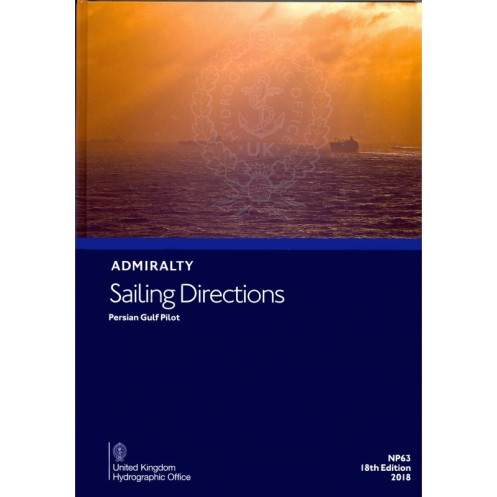





Navigate the Persian Gulf with confidence using these digital sailing directions. Covers key areas, hazards, port facilities, and weather insights for merchant vessels, updated via weekly notices.
Data sheet
Specific References
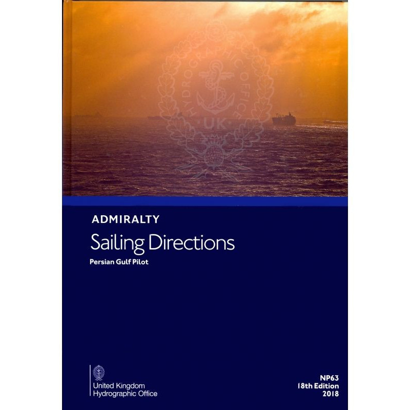
Navigate the Persian Gulf with confidence using this comprehensive digital sailing directions publication. Designed for merchant mariners on ocean-going vessels, this guide provides critical insights to ensure safe and efficient voyages from Ra’s al Junayz to Gwatar Bay. Complementing Admiralty charts, it offers a complete solution for maritime navigation in one of the world’s most strategically important waterways.
This publication is more than just a navigational aid—it’s a vital tool for ensuring safety, efficiency, and compliance in one of the world’s busiest maritime regions. Whether you’re navigating shallow waters, avoiding hazards, or planning port calls, this guide delivers the precision and reliability needed for successful voyages. Stay ahead of the curve with a solution designed by experts for professionals.
Navigate the Persian Gulf with Unmatched Precision
This digital sailing directions guide is your ultimate companion for safe and efficient navigation in the Persian Gulf, covering critical areas from Ra’s al Junayz to Gwatar Bay. Designed for merchant mariners and ocean-going vessels, it provides a wealth of information to enhance passage planning and ensure compliance with local maritime regulations.
Comprehensive and Up-to-Date Navigation Data
This 17th edition (2015) digital publication delivers detailed insights into navigation hazards, seamarks, and buoyage systems, helping you avoid risks and navigate with confidence. It includes essential meteorological data, such as wind patterns, currents, and tidal information, tailored specifically to the Persian Gulf region. With high-resolution color photographs and detailed views of coastlines and landmarks, visual identification of key areas is effortless.
Seamless Updates and Compatibility
Stay current with weekly updates via Notices to Mariners, ensuring you always have the latest navigational warnings and corrections. The guide is compatible with Windows 7 and later, and requires the ADMIRALTY e-Reader software for access. Updates are quick and efficient, taking just seconds to download, so you can focus on what matters most—safe navigation.
Designed for Professional Use
This publication is optimized for passage planning on board, providing clear, concise, and actionable information to support decision-making. The annual individual license guarantees uninterrupted access to the most current data, making it a reliable tool for mariners who demand precision and efficiency. Covering latitudes from 22°42' to 32°32' and longitudes from 45° to 61°42', it offers unparalleled coverage of the Persian Gulf and its approaches.
This digital sailing directions guide offers a robust set of features tailored for professional mariners. Compatible with Windows 7 and later, it requires the ADMIRALTY e-Reader software for access and is updated weekly via Notices to Mariners. The 17th edition (2015) provides comprehensive coverage of the Persian Gulf, including navigation hazards, meteorological data, and port regulations. Updates are fast, taking just seconds to download, and the guide is sold with an annual individual license for continuous access.
With a legacy of excellence in maritime navigation, this publisher is a global leader in providing accurate, reliable, and up-to-date nautical information. Their publications are trusted by mariners worldwide, offering comprehensive solutions for safe and efficient voyages. From digital sailing directions to detailed charts, their products adhere to the highest international standards, ensuring precision and compliance for professional use.
The publication covers the Persian Gulf and its approaches, from Ra's al Junayz to Gwatar Bay, including detailed navigational information for these regions.
No, it is compatible only with Windows 7 and later versions through the ADMIRALTY e-Reader software.
Updates are provided weekly through the Weekly Notices to Mariners via download, ensuring the latest navigational information is available.
It includes an individual annual license, allowing one user to access the publication for a year.
It includes information on port regulations, pilotage details, available facilities, and entry guides for various ports within the covered region.
Each update is approximately 9 MB in size and takes just a few seconds to download.
Yes, it is designed for use in passage planning on board merchant vessels at sea.
You might also like






































































![Admiralty - eNP054 - Sailing directions: North Sea [West]](https://www.nautic-way.com/80626-home_default/admiralty-enp054-sailing-directions-north-sea-west-maritime-bookshop-nautic-way.jpg)
![Admiralty - eNP055 - Sailing directions: North Sea [East]](https://www.nautic-way.com/90870-home_default/admiralty-enp055-sailing-directions-north-sea-east-maritime-bookshop-nautic-way.jpg)




























