




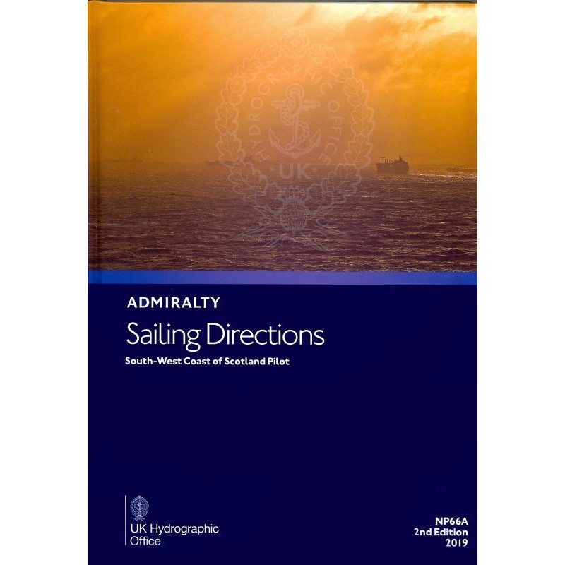
Navigate the southwest coast of Scotland with confidence using these detailed digital sailing directions. Covers hazards, weather, pilotage, and port facilities for seamless and secure voyages.
Data sheet
Specific References
Navigate the challenging waters of Scotland’s South West Coast with confidence using this comprehensive digital pilot guide. Covering the region from the Mull of Galloway to the Point of Ardnamurchan, this publication is an indispensable tool for merchant mariners and recreational sailors alike. Designed to complement standard nautical charts, it provides critical insights to ensure safe and efficient voyages along one of the UK’s most scenic yet demanding coastlines.
This digital pilot offers an extensive range of information tailored to the needs of modern navigators. It includes high-quality color photographs and visual aids to help identify key landmarks, hazards, and navigational markers. Whether you're approaching a busy port or navigating remote coastal areas, you'll find precise details on:
Part of a worldwide series of 74 volumes, this digital pilot upholds the highest standards in maritime navigation. It is meticulously curated by experts to provide reliable, up-to-date information that mariners can trust. Regular updates via Notices to Mariners ensure that you always have the latest data at your fingertips, reducing risks and enhancing operational efficiency.
Optimized for digital use, this publication is accessible through the ADMIRALTY e-Reader software on Windows 7 and later versions. The annual individual license ensures you receive continuous updates, keeping your navigation tools current without the hassle of manual revisions. The intuitive interface and search functionality make it easy to find the information you need, when you need it, whether you're planning a voyage or navigating in real-time.
For mariners who demand precision, reliability, and convenience, this digital pilot is the ultimate choice. It combines the trusted expertise of traditional nautical publications with the flexibility and efficiency of digital technology. Whether you're a professional mariner or a passionate sailor, this guide equips you with the knowledge to navigate the South West Coast of Scotland safely and confidently.
Navigate Scotland’s South West Coast with Unmatched Precision
This digital sailing directions guide is your ultimate companion for exploring the intricate waters of Scotland’s South West Coast, from the Mull of Galloway to the Point of Ardnamurchan. Designed for merchant vessels and recreational sailors, it delivers a wealth of critical information to enhance safety, efficiency, and confidence on the water. As part of a global series of 74 volumes, this publication sets the standard for maritime navigation, offering unparalleled accuracy and reliability.
Comprehensive Coverage for Every Voyage
Dive into detailed insights tailored to the unique challenges of this coastal region. The guide includes high-resolution color photographs and visual aids to help you identify landmarks, hazards, and navigational markers with ease. It provides essential data on local weather conditions, tidal patterns, and pilotage instructions, ensuring you’re prepared for every scenario. Whether you’re navigating busy ports or remote stretches of coastline, this publication equips you with the knowledge to make informed decisions.
Designed for Digital Convenience
Experience the future of maritime navigation with this fully digital publication. Accessible via the ADMIRALTY e-Reader software on Windows 7 and later, it offers a seamless and intuitive user experience. The annual individual license ensures you receive regular updates through Notices to Mariners, keeping your guide current without the need for manual revisions. With advanced search functionality and easy-to-navigate interfaces, finding the information you need has never been faster or more efficient.
Trusted by Mariners Worldwide
Backed by decades of maritime expertise, this digital pilot is a trusted resource for navigators across the globe. It complements standard nautical charts, providing an additional layer of detail and context to enhance your voyage planning. From port regulations to facility information, this guide covers all the essentials, making it an indispensable tool for safe and successful navigation.
This digital sailing directions guide covers the South West Coast of Scotland, spanning latitudes from 54.5°N to 56.44°N and longitudes from -7.15°W to -3.1°W. Published in 2023, it is the latest edition of the 2014 first release, offering up-to-date navigational data. The guide is available in a digital format, compatible with Windows 7 and later versions, and requires the ADMIRALTY e-Reader software for access. It operates under an annual individual license, ensuring continuous updates via Notices to Mariners.
With a legacy of excellence in maritime navigation, this publisher is a global leader in providing accurate and reliable nautical information. Renowned for its comprehensive range of charts, publications, and digital solutions, it supports mariners worldwide with tools designed to enhance safety and efficiency at sea. Trusted by professionals and enthusiasts alike, its products are the gold standard for maritime navigation.
The sailing directions cover the southwest coast of Scotland, from the Mull of Galloway to the Point of Ardnamurchan, including detailed coastal and port information.
These directions are designed for merchant navigators operating all types of ocean-going vessels, ensuring safe and efficient navigation.
The publication requires the ADMIRALTY e-Reader software, which is compatible with Windows 7 and later versions.
Updates are provided regularly through Notices to Mariners, ensuring the information remains current and accurate throughout the annual license period.
The publication includes high-quality color photographs, coastal views, and detailed charts to assist with navigation and hazard identification.
No, this digital publication is only compatible with Windows operating systems, specifically Windows 7 and later versions.
The guide includes detailed information on port facilities, pilotage procedures, entry guides for major ports, and relevant local regulations.
You might also like






































































![Admiralty - eNP054 - Sailing directions: North Sea [West]](https://www.nautic-way.com/80626-home_default/admiralty-enp054-sailing-directions-north-sea-west-maritime-bookshop-nautic-way.jpg)
![Admiralty - eNP055 - Sailing directions: North Sea [East]](https://www.nautic-way.com/90870-home_default/admiralty-enp055-sailing-directions-north-sea-east-maritime-bookshop-nautic-way.jpg)




























