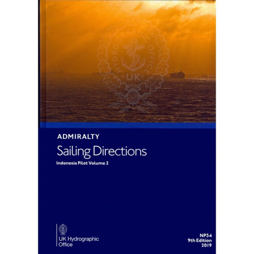





Navigate Indonesia’s southern waters confidently with this digital guide. Covers Java’s south coast, Bali Sea, and more, offering vital details on hazards, ports, and weather for merchant vessels.
Data sheet
Specific References
Navigate Indonesia’s southern coast with confidence using this comprehensive digital sailing guide. Designed for merchant mariners and commercial vessels, this publication delivers critical navigation data for the southern coast of Java, Bali Sea, and surrounding regions. It’s your trusted resource for safe and efficient maritime operations in one of the world’s busiest shipping lanes.
This digital sailing direction is part of a globally recognized series, relied upon by commercial fleets, naval operations, and maritime authorities. Whether navigating congested straits or planning port calls, this guide provides the accuracy and detail needed for safe and efficient voyages in Indonesian waters.
Navigate Indonesia’s Southern Waters with Confidence
Sailing Directions: Indonesia Vol. 2 is your indispensable digital guide for navigating the southern coast of Java, the Bali Sea, and adjacent maritime zones. Tailored for merchant vessels and professional mariners, this publication provides real-time, actionable intelligence to enhance safety and operational efficiency in one of the world’s most critical shipping regions. With coverage spanning from longitude 104.55°E to 126°E and latitude 6.83°S to 4.17°N, it ensures you have the most accurate and up-to-date information at your fingertips.
Comprehensive Navigation Data for Safe Voyages
This digital guide goes beyond basic charts, offering in-depth insights into navigational hazards, buoyage systems, and local maritime regulations. It includes detailed port entry procedures, pilotage requirements, and berthing facilities for major and minor ports along the route. High-resolution color photographs and coastal views provide visual confirmation of landmarks, while meteorological data helps you plan for weather-related challenges. Whether you’re transiting busy straits or approaching remote anchorages, this guide equips you with the knowledge to navigate safely and efficiently.
Designed for Professional Use and Seamless Integration
Optimized for digital workflows, this publication is compatible with Windows 7 and later versions, ensuring reliable performance on shipboard systems. Its digital format eliminates the need for physical storage, allowing for quick updates and easy access during voyages. The guide is designed to complement Admiralty charts, providing a layered approach to navigation that enhances situational awareness. With its 8th edition (2017), you can trust that the information aligns with the latest maritime standards and best practices.
This digital sailing direction covers Indonesia’s southern coastal waters, including the southern coast of Java and the Bali Sea, with precise geographic coverage between latitude 6.83°S to 4.17°N and longitude 104.55°E to 126°E. The 8th edition (2017) is available in a digital format, compatible exclusively with Windows 7 and later versions, ensuring seamless integration with modern navigation systems.
With a legacy spanning over two centuries, this series of nautical publications is a cornerstone of global maritime navigation. Renowned for accuracy, reliability, and adherence to international standards, these guides are trusted by commercial fleets, naval operations, and maritime authorities worldwide. Each publication is meticulously updated to reflect the latest navigational data, ensuring mariners have the most current information for safe and efficient voyages.
This volume covers the southern coast of Java, the Bali Sea, and surrounding areas, including detailed navigational information for these regions.
No, the digital edition is only compatible with Windows 7 and later versions.
The guide includes color photos and high-quality coastal views to assist with navigation and identification of key landmarks.
No additional system requirements are specified beyond compatibility with Windows 7 and later versions.
The sailing directions are updated periodically; this edition is the 8th, published in 2017.
Yes, once downloaded, the digital guide can be accessed and used offline.
Yes, it provides essential details on port regulations, facilities, and entry guides for the covered regions.
You might also like





































































![Admiralty - eNP054 - Sailing directions: North Sea [West]](https://www.nautic-way.com/80626-home_default/admiralty-enp054-sailing-directions-north-sea-west-maritime-bookshop-nautic-way.jpg)
![Admiralty - eNP055 - Sailing directions: North Sea [East]](https://www.nautic-way.com/90870-home_default/admiralty-enp055-sailing-directions-north-sea-east-maritime-bookshop-nautic-way.jpg)





























