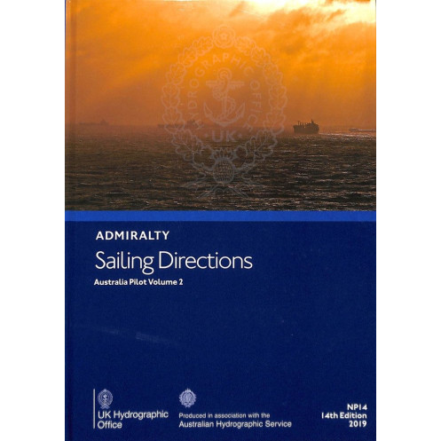





Digital sailing directions for Australia’s southeast coast, from Green Cape to Port Jackson. Covers hazards, weather, and port regulations for safer navigation.
Windows-compatible annual license.
Data sheet
Specific References
Navigate Australia’s southeastern, southern, and eastern coastlines with confidence using this essential digital nautical publication. Designed for merchant mariners operating on all classes of ocean-going vessels, this guide delivers critical navigation insights from Green Cape to Port Jackson, including Bass Strait and the approaches to Port Phillip. It serves as the perfect companion to standard nautical charts, offering a complete global coverage across 74 volumes tailored to specific regions.
Enhance your situational awareness with high-quality color photographs and visual aids that provide clear perspectives of coastal landmarks, navigational hazards, and key waypoints. This publication includes vital details on buoyage systems, weather patterns, pilotage procedures, and port regulations, ensuring safe and efficient passage planning. It also features comprehensive port entry guides, facility information, and local maritime rules to streamline operations in major and minor harbors alike.
This digital edition is engineered for reliability and ease of use, with a user-friendly interface that allows quick access to critical data. The annual individual license ensures you receive the latest updates and maintain compliance with maritime standards. Compatible exclusively with Windows 7 and later versions, this publication requires the ADMIRALTY e-Reader software, delivering a seamless and secure navigation experience for professionals at sea.
Whether you’re navigating commercial routes, planning port calls, or assessing environmental conditions, this publication provides the accuracy and depth of information needed to mitigate risks and optimize voyage efficiency. Its structured format and detailed content make it an indispensable tool for captains, navigators, and maritime professionals operating in Australia’s dynamic coastal waters.
Elevate Your Maritime Navigation with Australia’s Premier Digital Sailing Directions
Discover the ultimate digital resource for navigating Australia’s southeastern, southern, and eastern coastlines with unparalleled precision. This 2019 edition of *Sailing Directions: Australia Vol. 2* is meticulously crafted for merchant mariners, offering a wealth of critical information for safe and efficient voyages from Green Cape to Port Jackson, including Bass Strait and the approaches to Port Phillip. As part of a global series spanning 74 volumes, this publication ensures comprehensive coverage of maritime routes, making it an indispensable tool for vessels of all sizes.
Visual and Practical Navigation Tools for Enhanced Safety
Equipped with high-resolution color photographs and detailed visual aids, this digital guide provides clear representations of coastal landmarks, navigational hazards, and key waypoints. It goes beyond basic charts by delivering in-depth insights into buoyage systems, local weather patterns, pilotage procedures, and port regulations. Whether you’re entering a major harbor or navigating lesser-known waters, this publication offers step-by-step port entry guides, facility details, and compliance information to streamline your operations and minimize risks.
Designed for Professional Use and Compliance
Optimized for professional mariners, this digital edition features a user-friendly interface that ensures quick access to essential data. The annual individual license guarantees you stay up-to-date with the latest maritime standards and updates. Compatible exclusively with Windows 7 and later versions, this publication requires the ADMIRALTY e-Reader software, providing a secure and reliable platform for navigation planning. Its structured format and detailed content make it a trusted resource for captains, navigators, and maritime professionals seeking accuracy and efficiency in Australia’s coastal waters.
This digital nautical publication is tailored for professional mariners, offering an annual individual license compatible with Windows 7 and later versions. It requires the ADMIRALTY e-Reader software for access and provides detailed coverage of Australia’s southeastern, southern, and eastern coastlines, from Green Cape to Port Jackson, including Bass Strait and Port Phillip approaches. The 2019 edition includes high-resolution visuals, navigational hazards, weather data, and port regulations, ensuring comprehensive support for safe and efficient voyages.
With a legacy of excellence in maritime navigation, this publisher is a global leader in providing accurate, reliable, and up-to-date nautical information. Renowned for its comprehensive range of charts, publications, and digital solutions, it supports mariners worldwide with tools designed to enhance safety, efficiency, and compliance at sea. Trusted by professionals for decades, its resources are the gold standard for maritime navigation.
This volume covers the southeast, south, and east coasts of Australia, from Green Cape to Port Jackson, including Bass Strait and the approaches to Port Phillip.
No, this digital publication is only compatible with Windows 7 and later versions, as it requires the ADMIRALTY e-Reader software.
It includes details on port regulations, pilotage information, available facilities, and entry guides for major ports in the covered region.
Yes, it contains color photographs and high-quality views to assist with navigation and port identification.
The license is an annual individual license, requiring renewal each year to maintain access.
The coverage spans latitudes from approximately -33.82 to -53 and longitudes from 140.87 to 160.
Yes, once downloaded and activated with the ADMIRALTY e-Reader software, it can be accessed offline.
You might also like





































































![Admiralty - eNP054 - Sailing directions: North Sea [West]](https://www.nautic-way.com/80626-home_default/admiralty-enp054-sailing-directions-north-sea-west-maritime-bookshop-nautic-way.jpg)
![Admiralty - eNP055 - Sailing directions: North Sea [East]](https://www.nautic-way.com/90870-home_default/admiralty-enp055-sailing-directions-north-sea-east-maritime-bookshop-nautic-way.jpg)





























