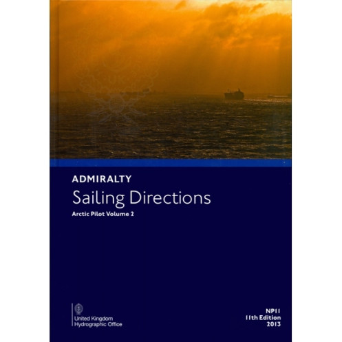





Essential for Arctic voyages, this digital guide provides key insights on hazards, weather, ice, and port rules for Iceland, Jan Mayen, Svalbard, and Greenland’s eastern coast.
Data sheet
Specific References
Navigate the Arctic’s challenging waters with confidence using this comprehensive digital sailing guide. Designed for merchant mariners and seafarers operating in high-latitude regions, this publication delivers critical insights for safe and efficient coastal navigation. Covering Iceland, Jan Mayen, Bjørnøya, Svalbard, and the eastern coast of Greenland, it combines decades of maritime expertise with up-to-date data to support vessels of all sizes.
As part of the Admiralty’s global sailing directions series, this digital guide is a cornerstone of maritime navigation. Whether navigating the fjords of Iceland, the remote outposts of Svalbard, or the ice-laden waters of Greenland, this publication provides the knowledge needed to mitigate risks and optimize voyages. Its 11th edition reflects the latest hydrographic data, ensuring accuracy and relevance for today’s seafarers.
Master Arctic Navigation with the Definitive Digital Guide
Sailing Directions: Arctic Vol. 2 is the ultimate digital resource for mariners venturing into the Arctic’s most remote and hazardous regions. Originally published as *The Icelandic Pilot* in 1901, this 11th edition has evolved into a cutting-edge navigation tool, offering unparalleled coverage of Iceland, Jan Mayen, Bjørnøya, Svalbard, and the eastern Greenland coast. Designed for merchant vessels, expedition ships, and research vessels, it provides the critical data needed to navigate safely through ice, fog, and unpredictable weather conditions.
Precision Data for High-Latitude Navigation
This digital guide delivers meticulously curated information, including detailed coastal profiles, buoyage systems, and real-time meteorological insights. With coverage spanning latitudes from 55°N to 85°N and longitudes from -44.65°W to 40°E, it ensures mariners have the most accurate and up-to-date data for route planning. The publication includes high-resolution color photographs and coastal views, enhancing situational awareness in areas where traditional charts may fall short.
Seamless Integration with Onboard Systems
Optimized for Windows 7 and later, this digital format allows for effortless integration into modern navigation systems. The structured data layout ensures quick access to critical information, reducing search time during high-pressure navigation scenarios. As part of a global series of 74 volumes, it maintains consistency with other Admiralty publications, providing a unified navigation experience across international waters.
Ice, Climate, and Emergency Preparedness
The Arctic’s dynamic environment demands specialized knowledge, and this guide delivers. It includes comprehensive data on ice conditions, ocean currents, and tidal streams, along with climate overviews to help mariners anticipate challenges. Emergency procedures, icebreaker support details, and local port regulations are also covered, ensuring vessels are prepared for any scenario. Whether navigating the fjords of Iceland or the ice-laden waters of Greenland, this publication is an indispensable tool for safe and efficient voyages.
This digital sailing guide, published in 2013 as the 11th edition, covers Arctic regions from 55°N to 85°N and -44.65°W to 40°E. It is compatible with Windows 7 and later operating systems and includes high-resolution color photographs, coastal views, and detailed navigation data. The publication is part of a global series of 74 volumes, ensuring consistency and reliability for international maritime operations.
With over two centuries of maritime expertise, this publisher is a global leader in hydrographic data and nautical publications. Renowned for accuracy, reliability, and innovation, their digital and print resources are trusted by mariners, navies, and commercial fleets worldwide. Their comprehensive series of sailing directions and charts set the standard for safe and efficient navigation across the world’s oceans.
This volume covers Arctic regions including Iceland, Jan Mayen, Bjørnøya, Svalbard, and the east coast of Greenland.
No, this digital publication is only compatible with Windows 7 and later versions.
It provides details on coastal navigation, hazards, aids to navigation, meteorological data, pilotage information, port regulations, facilities, entry guides, currents, ice conditions, and climate.
Yes, it includes color photographs and high-quality views to assist navigators.
This is the 11th edition, released in 2013.
Yes, once downloaded, it can be accessed offline on compatible Windows systems.
It covers latitudes from 55°N to 85°N and longitudes from 40°E to 44.65°W, with precise boundaries detailed in the technical specifications.
You might also like





































































![Admiralty - eNP054 - Sailing directions: North Sea [West]](https://www.nautic-way.com/80626-home_default/admiralty-enp054-sailing-directions-north-sea-west-maritime-bookshop-nautic-way.jpg)
![Admiralty - eNP055 - Sailing directions: North Sea [East]](https://www.nautic-way.com/90870-home_default/admiralty-enp055-sailing-directions-north-sea-east-maritime-bookshop-nautic-way.jpg)





























