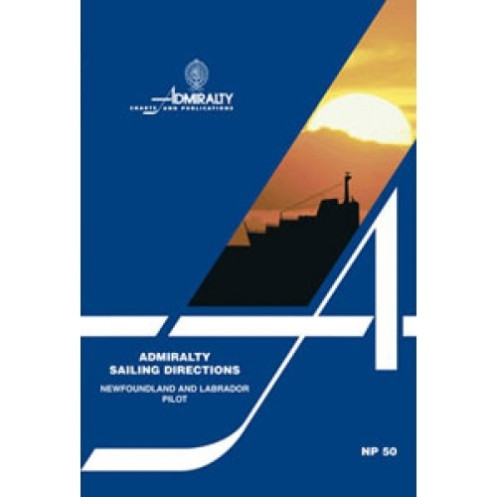





Navigate Newfoundland and Labrador confidently with this digital guide, detailing hazards, port facilities, ice conditions, and more. Requires Windows-compatible e-Reader software for access.
Data sheet
Specific References
Navigate the rugged coastlines of Newfoundland and Labrador with confidence using this comprehensive digital nautical guide. Designed for merchant mariners and all seafarers operating in high-seas environments, this publication delivers critical insights into navigation hazards, buoyage systems, pilotage procedures, and port regulations. Whether you're transiting the Strait of Belle Isle or approaching the remote shores of Labrador, this guide ensures safe and efficient passage planning with up-to-date information on seasonal currents, ice conditions, and weather patterns.
Part of a worldwide series of 74 volumes, this digital edition provides seamless integration with standard nautical charts, offering a complete navigation solution for professional and recreational mariners alike. The 2016 (14th) edition combines authoritative data with practical visual aids, including full-color photographs and panoramic views of key landmarks, harbors, and coastal features. Every detail is meticulously verified to support decision-making in challenging maritime environments.
Accessible through the ADMIRALTY e-Reader software, this digital guide is engineered for modern navigation workflows. The annual individual license ensures you receive the latest updates and corrections, maintaining compliance with maritime safety standards. Compatible exclusively with Windows 7 and later, the platform delivers intuitive search functionality, customizable bookmarks, and offline access—ideal for use on vessels where connectivity is limited or unreliable.
Rely on the same authoritative data used by commercial fleets, coast guards, and maritime authorities. This digital guide is an indispensable tool for anyone navigating the complex waters of Newfoundland and Labrador, combining precision, reliability, and ease of use in a single resource. Whether you're a seasoned captain or a recreational sailor, this publication enhances situational awareness and operational efficiency in one of the world’s most demanding maritime regions.
Navigate Newfoundland and Labrador with Unmatched Precision
This digital nautical guide is your ultimate resource for safe and efficient passage planning along the coasts of Newfoundland and Labrador. Designed for merchant mariners, commercial vessels, and recreational sailors, it provides a wealth of critical information to navigate one of the most challenging maritime regions in the world. From the rugged shores of Labrador to the intricate waterways of the Strait of Belle Isle, this guide ensures you have the most accurate and up-to-date data at your fingertips.
Comprehensive Coverage for Professional and Recreational Use
Covering Newfoundland’s coasts, including the islands of Saint-Pierre and Miquelon, as well as the southern and eastern shores of Labrador, this guide offers unparalleled detail. It includes essential information on navigation hazards, buoyage systems, pilotage procedures, and port regulations, making it an indispensable tool for any voyage. The 2016 (14th) edition is part of a global series of 74 volumes, ensuring consistent and reliable coverage for mariners worldwide.
Digital Innovation for Modern Navigation
Optimized for use with the ADMIRALTY e-Reader software, this digital guide is compatible exclusively with Windows 7 and later. The annual individual license guarantees access to the latest updates and corrections, ensuring compliance with maritime safety standards. With features like intuitive search functionality, customizable bookmarks, and offline access, this guide is designed to support navigation in areas with limited or no connectivity, making it ideal for use on vessels of all types.
Visual Aids for Enhanced Situational Awareness
Enhance your navigation with high-resolution photographs and panoramic views of coastlines, harbors, and landmarks. These visual aids provide quick and easy reference points, helping you identify key features and avoid potential hazards. Whether you're approaching a busy port or navigating remote waters, these tools ensure you have the clarity and confidence needed for safe passage.
Environmental and Regulatory Insights
Stay informed about seasonal currents, ice conditions, and weather patterns that can impact your voyage. This guide also includes up-to-date information on port facilities, local regulations, and berthing options, ensuring you are well-prepared for every aspect of your journey. By combining environmental data with regulatory compliance, this publication helps you optimize route planning and maintain operational efficiency.
This digital nautical guide provides essential navigation data for Newfoundland and Labrador, including coverage of latitudes from 45.33°N to 59.98°N and longitudes from -65°W to -20°W. Published in 2016 as the 14th edition, it is accessible via the ADMIRALTY e-Reader software, compatible exclusively with Windows 7 and later. The guide operates under an annual individual license, ensuring access to the latest updates and corrections for safe and compliant navigation.
With a legacy of over two centuries, this publisher is a global leader in maritime navigation data, trusted by commercial fleets, coast guards, and recreational sailors worldwide. Their publications are renowned for their accuracy, reliability, and adherence to international maritime standards, making them an essential resource for safe and efficient navigation in all waters.
The directions cover the coasts of Newfoundland, including Saint Pierre and Miquelon islands, the Strait of Belle Isle, and the southern and eastern coasts of Labrador.
They are designed for merchant navigators operating all types of ocean-going vessels.
The directions provide details on navigation hazards, buoyage, pilotage, port regulations, facilities, seasonal currents, ice, and climatic conditions.
No, the required e-Reader software is only compatible with Windows 7 and later versions.
The license is valid for one year and must be renewed annually.
Yes, the 2016 edition includes color photographs and panoramic views.
The coverage spans latitudes from 45.33°N to 59.98°N and longitudes from -65°W to -20°W.
You might also like





































































![Admiralty - eNP054 - Sailing directions: North Sea [West]](https://www.nautic-way.com/80626-home_default/admiralty-enp054-sailing-directions-north-sea-west-maritime-bookshop-nautic-way.jpg)
![Admiralty - eNP055 - Sailing directions: North Sea [East]](https://www.nautic-way.com/90870-home_default/admiralty-enp055-sailing-directions-north-sea-east-maritime-bookshop-nautic-way.jpg)





























