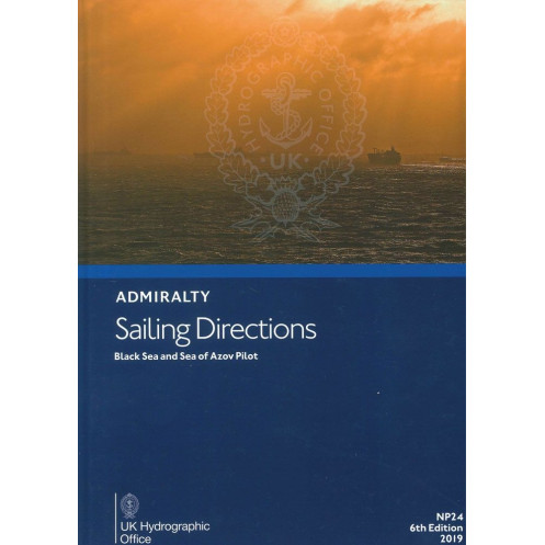





Ensure safe passage in the Black Sea and Sea of Azov with this comprehensive digital pilot. It includes navigation hazards, port regulations, and real-time data for merchant mariners.
Data sheet
Specific References
Navigate the Black Sea and Sea of Azov with confidence using this comprehensive digital pilot guide, designed for merchant mariners and ocean-going vessels of all classes. This digital edition delivers unparalleled coverage of one of the world’s most strategically important maritime regions, ensuring safe and efficient voyages along the coasts of Turkey, Bulgaria, Romania, Ukraine, Russia, and Georgia.
Rely on the expertise of the United Kingdom Hydrographic Office, a globally recognized authority in maritime navigation. This 6th edition, published in 2019, reflects the latest hydrographic data and navigational best practices, ensuring you have the most accurate and reliable information at your fingertips. Whether you're navigating commercial routes, planning a port call, or ensuring compliance with local regulations, this digital pilot guide is an indispensable tool for safe and efficient voyages in the Black Sea and Sea of Azov.
Navigate the Black Sea and Sea of Azov with Unmatched Precision and Confidence
This digital pilot guide is your ultimate resource for safe and efficient navigation in one of the world’s most critical maritime regions. Designed for merchant mariners, commercial vessels, and professional navigators, it provides a wealth of essential information to support voyages along the coasts of Turkey, Bulgaria, Romania, Ukraine, Russia, and Georgia. Whether you're planning a complex transit or ensuring compliance with local regulations, this guide delivers the accuracy and detail you need to navigate with confidence.
Comprehensive Coverage for Every Voyage
This digital edition covers the entire Black Sea and Sea of Azov, including the Sea of Marmara, with detailed insights into navigation hazards, buoyage systems, and critical waypoints. It features high-resolution color photographs and panoramic views of coastlines and landmarks, making it easier to identify key navigational aids and avoid potential dangers. With up-to-date meteorological data, including wind patterns, currents, and seasonal weather conditions, you can plan your voyages with greater accuracy and safety.
Optimized for Modern Navigation Systems
Accessible on PCs running Windows 7 or later, this digital pilot guide is designed for seamless integration with electronic charting systems (ECS) and electronic chart display and information systems (ECDIS). Its digital format allows for quick searches, easy updates, and convenient access to critical information, whether you're at sea or in port. This ensures you always have the most relevant and up-to-date data at your fingertips, enhancing both safety and operational efficiency.
Trusted Expertise for Professional Mariners
Published by a globally recognized authority in maritime navigation, this 6th edition (2019) reflects the latest hydrographic data and navigational best practices. It includes essential details on port facilities, customs procedures, and local regulations, ensuring smooth and compliant port calls. As part of a global series of 74 volumes, this guide maintains the highest standards of accuracy and reliability, making it an indispensable tool for mariners operating in the Black Sea and Sea of Azov.
This digital pilot guide provides comprehensive coverage of the Black Sea and Sea of Azov, including the Sea of Marmara, with detailed navigation data for the coasts of Turkey, Bulgaria, Romania, Ukraine, Russia, and Georgia. Published in 2019 as the 6th edition, it is available in a digital format compatible with PCs running Windows 7 or later. The guide includes high-resolution color photographs, panoramic views, meteorological data, and critical information on navigation hazards, buoyage systems, and port facilities.
With a legacy spanning over two centuries, this publisher is a globally trusted authority in maritime navigation, providing accurate and reliable hydrographic data to mariners worldwide. Their publications are renowned for their precision, comprehensive coverage, and adherence to the highest standards of navigational safety, making them an essential resource for professional and commercial navigation.
The guide covers the Black Sea, Sea of Azov, and adjacent coasts of Turkey, Bulgaria, Romania, Ukraine, Russia, and Georgia.
No, the digital publication is only readable on Windows 7 and later versions.
The guide includes color photographs and panoramic views to assist with navigation.
Yes, it includes detailed port entry guides for major ports in the covered regions.
Yes, the guide provides information on known navigation hazards, including buoyage and other critical details.
The guide includes relevant meteorological data to assist with safe navigation in the covered areas.
Yes, once downloaded, the digital guide can be accessed offline on compatible Windows systems.
You might also like





































































![Admiralty - eNP054 - Sailing directions: North Sea [West]](https://www.nautic-way.com/80626-home_default/admiralty-enp054-sailing-directions-north-sea-west-maritime-bookshop-nautic-way.jpg)
![Admiralty - eNP055 - Sailing directions: North Sea [East]](https://www.nautic-way.com/90870-home_default/admiralty-enp055-sailing-directions-north-sea-east-maritime-bookshop-nautic-way.jpg)





























