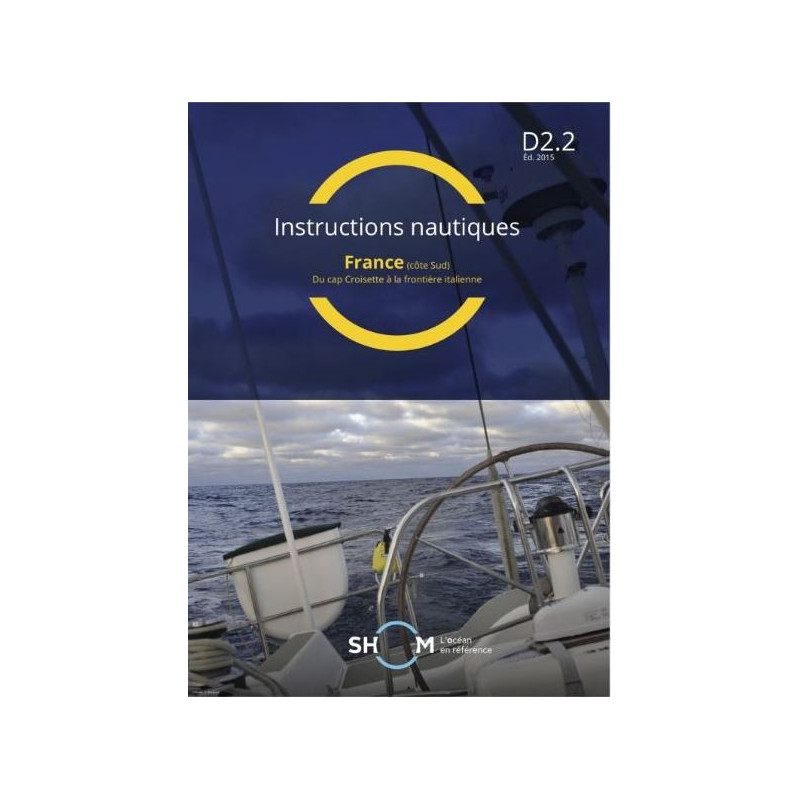





Digital nautical guide for France’s southern coast, from Cap Croisette to Italy. 234 pages of color charts, photos, and updated navigational data for safe and precise sailing.
Data sheet
Specific References
Navigate the southern coast of France with unparalleled accuracy using this comprehensive digital nautical instruction guide. Covering the stretch from Cap Croisette to the Italian border, this resource is engineered for professional mariners who demand detailed, up-to-date coastal information. Every harbor, anchorage, and navigational hazard is meticulously documented to ensure safe and efficient voyages along one of Europe’s most trafficked maritime routes.
This guide delivers an exhaustive overview of the southern French coastline, including critical details on ports, marinas, and offshore features. With 234 pages of high-resolution content, it provides in-depth descriptions of navigational aids, tidal patterns, and local regulations. The inclusion of full-color plans and photographs enhances situational awareness, allowing mariners to visualize key landmarks and potential challenges before they arise.
Optimized for digital use, this PDF-format guide ensures instant access to vital information without the bulk of traditional paper charts. Designed for compatibility with multiple devices, it supports seamless integration into onboard navigation systems. Updates are automatically provided for one year, guaranteeing that mariners always have the latest data at their fingertips—critical for compliance with maritime safety standards.
Tailored to the needs of commercial shipping, fishing fleets, and maritime professionals, this guide prioritizes clarity and functionality. Its structured layout allows for quick reference during operations, while the inclusion of official hydrographic data ensures reliability. Whether planning a route or verifying local conditions, this resource is an indispensable tool for those who operate in these waters regularly.
Upon purchase, the guide is delivered via secure download link or WeTransfer, ensuring fast and reliable access. Licensed for use on up to five workstations, it accommodates both individual and team-based navigation planning. With permanent download access for 12 months, mariners can retrieve the guide whenever needed, even in remote locations.
Master the Southern French Coastline with Official Nautical Instructions
This digital nautical guide is your definitive resource for navigating the southern coast of France, from Cap Croisette to the Italian border. Designed for professional mariners, it combines official hydrographic data with practical insights to support safe and efficient voyages. With 234 pages of detailed content, including full-color plans and photographs, it provides a complete overview of ports, anchorages, and navigational hazards in one of Europe’s busiest maritime regions.
Engineered for Digital Navigation
Delivered in PDF format, this guide is optimized for use on multiple devices, ensuring seamless integration into your onboard systems. Updates are included for one year, keeping your data current and compliant with maritime regulations. The digital format eliminates the need for physical storage, allowing instant access to critical information whenever and wherever it’s needed.
Trusted by Maritime Professionals
Used by commercial shipping companies, fishing fleets, and maritime authorities, this guide is built on decades of hydrographic expertise. Its structured layout and precise data make it an essential tool for route planning, risk assessment, and compliance with local maritime laws. Whether you’re navigating busy harbors or remote coastal areas, this resource ensures you have the most accurate and up-to-date information at your disposal.
This digital nautical guide covers the southern coast of France, spanning from Cap Croisette to the Italian border. Published in 2020 and updated to GAN 2616, it includes 234 pages of full-color content, featuring detailed plans and photographs. The PDF format ensures compatibility with most devices, and the license allows installation on up to five workstations. Updates are provided for one year, with permanent download access for 12 months from the date of purchase.
With a legacy spanning over two centuries, this organization is the official hydrographic authority for France, providing mariners with precise and reliable nautical data. Their publications are trusted by commercial fleets, naval forces, and maritime professionals worldwide, ensuring safety and efficiency in navigation. Each guide is meticulously updated to reflect the latest hydrographic surveys and maritime regulations.
The instructions cover the southern coast of France, from Cap de l'Aigle/Cap Croisette to the Italian border.
The license allows installation on up to 5 computer devices.
Yes, free updates are provided for one year if a new version is released.
The pages are in A4 size, measuring 21 x 29.7 cm.
The download link remains available for 12 months from the date of purchase.
The current version is updated to GAN 2616.
All plans and photos included in the instructions are in color.
You might also like