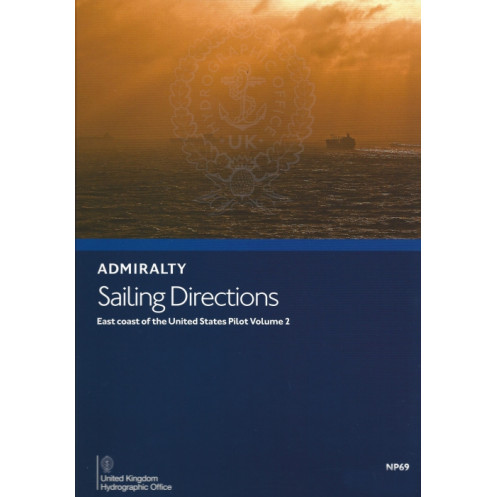





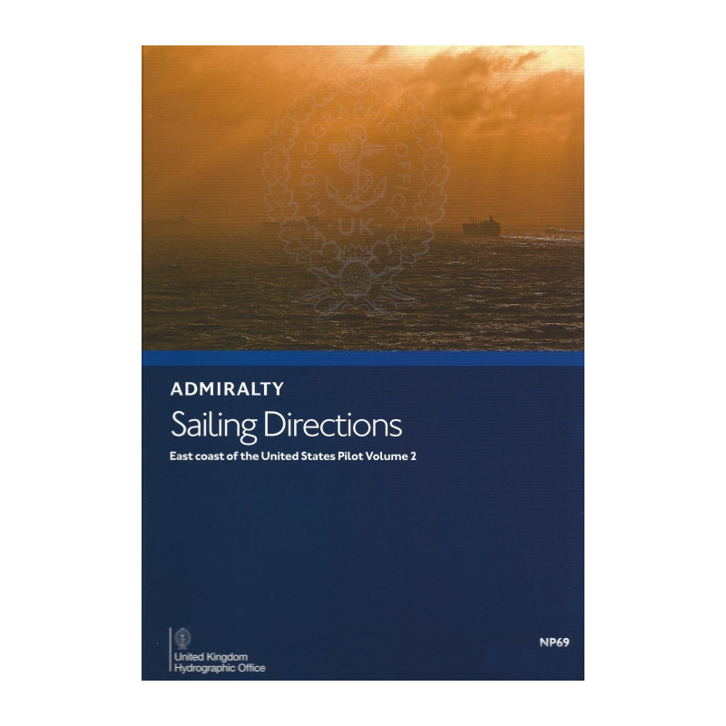
Navigate the East Coast with confidence using this digital guide for Barnegat Inlet to Cape Canaveral. Includes hazards, port facilities, tides, and weather insights for professional mariners.
Data sheet
Specific References
Navigate the U.S. East Coast with confidence using this comprehensive digital edition of Sailing Directions: East Coast of the United States Vol. 2. Designed for merchant mariners and professional navigators, this e-publication delivers critical insights for safe and efficient voyages from Barnegat Inlet to Cape Canaveral. Whether you're piloting a commercial vessel or a private yacht, this guide ensures you have the most up-to-date and reliable information at your fingertips.
This digital sailing direction covers every aspect of navigation along the U.S. East Coast, including:
This digital edition goes beyond traditional text-based guides by including:
As part of the Admiralty Sailing Directions series, this volume complements the Admiralty Standard Nautical Charts, providing a complete navigational solution for mariners. With global coverage spanning 74 volumes, this series is trusted by professional navigators worldwide for its accuracy, reliability, and depth of information. Whether you're navigating busy shipping lanes or remote coastal areas, this guide ensures you have the tools to make informed decisions.
This digital publication is designed for convenience and accessibility:
Navigating the U.S. East Coast presents unique challenges, from densely trafficked shipping routes to unpredictable weather conditions. This digital sailing direction provides:
Whether you're captaining a cargo ship, a tanker, a fishing vessel, or a private yacht, this guide is tailored to meet the needs of mariners operating in all categories of seagoing vessels. Its detailed and practical information ensures that every voyage is conducted safely and efficiently.
Updated in 2017, this 14th edition of Sailing Directions: East Coast of the United States Vol. 2 reflects the most current navigational data and maritime regulations. Keep your vessel and crew safe by equipping yourself with the latest tools and knowledge for navigating one of the world's busiest coastlines.
Navigate the U.S. East Coast with unparalleled precision and confidence
Discover the Sailing Directions: East Coast of the United States Vol. 2, a digital navigational guide designed to empower mariners with critical insights for safe and efficient voyages. Covering the coastline from Barnegat Inlet to Cape Canaveral, this e-publication is an indispensable tool for professional navigators, merchant mariners, and recreational sailors alike. Updated in 2017, this 14th edition ensures you have access to the most current and reliable data for navigating one of the most dynamic maritime regions in the world.
Comprehensive coverage for every aspect of navigation
This digital guide provides a wealth of information tailored to the needs of mariners operating in commercial and private vessels. It includes detailed warnings about navigational hazards such as shoals, wrecks, and other dangers, ensuring you can avoid risks and plan your route with confidence. The guide also offers clear guidance on buoyage and pilotage, including aids to navigation like buoys, beacons, and lights, which are essential for safe passage through busy shipping lanes and coastal waters.
Up-to-date regulations and port procedures
Stay compliant with local maritime laws and port entry requirements using the latest information on regulations and customs protocols. This guide provides comprehensive listings of port facilities, including docks, fuel stations, repair services, and provisions, so you can efficiently plan your stops and ensure your vessel is well-supplied. Whether you're navigating major ports like New York or smaller harbors, this guide has you covered.
Seasonal and climatic insights for optimized route planning
Understanding the environmental conditions of the U.S. East Coast is crucial for safe navigation. This guide offers accurate data on seasonal currents, tides, and climatic conditions, including prevailing winds and storm seasons. With this information, you can optimize your route planning, avoid adverse weather, and ensure a smoother voyage for your crew and cargo.
Visual aids for enhanced situational awareness
Beyond traditional text-based information, this digital edition includes high-quality color photographs, port entry guides, and detailed harbor views. These visual aids provide a clear and accurate representation of key landmarks, harbors, and coastal features, helping you recognize your surroundings and navigate with greater precision. Step-by-step instructions for approaching and entering ports are also included, complete with diagrams to guide you through even the most complex maneuvers.
Seamless integration with Admiralty charts
As part of the globally trusted Admiralty Sailing Directions series, this volume complements the Admiralty Standard Nautical Charts, offering a complete navigational solution. With 74 volumes covering the world's oceans, this series is renowned for its accuracy and reliability, making it the go-to resource for professional mariners. Whether you're navigating remote coastal areas or bustling shipping lanes, this guide ensures you have the tools to make informed decisions.
This digital sailing direction is tailored for professional use, offering a robust set of features to enhance your navigational experience. The 2017 edition covers the U.S. East Coast from Barnegat Inlet to Cape Canaveral, spanning latitudes 40.5°N to 28.47°N and longitudes 83°W to 67.58°W. Designed exclusively for Windows 7 and later versions, this e-publication provides instant access to critical navigational data, including hazards, buoyage, port facilities, and climatic conditions. Its searchable content and high-quality visual aids ensure you can quickly find the information you need, while its digital format eliminates the need for bulky paper volumes.
With a legacy spanning over two centuries, this series of navigational publications is trusted by mariners worldwide for its unparalleled accuracy and reliability. Developed by a leading authority in hydrography, these guides are designed to meet the needs of professional navigators, ensuring safe and efficient voyages across the globe. The digital editions build on this tradition, offering modern conveniences while maintaining the high standards that have made this series a cornerstone of maritime navigation.
This volume covers the East Coast of the United States from Barnegat Inlet to Cape Canaveral, including detailed navigational information for coastal and port areas within the specified latitude and longitude.
No, the digital publication is only readable on Windows 7 and later versions.
It includes details on hazards, aids to navigation, pilotage, regulations, port facilities, seasonal currents, climatic conditions, color photographs, high-quality views, and port entry guides.
Yes, it is designed for merchant mariners operating all classes of ocean-going vessels.
There are 74 volumes available that provide worldwide coverage to complement standard nautical charts.
This edition was published in 2017.
Yes, it includes color photographs and high-quality views to assist with navigation and port entry.
You might also like







































































![Admiralty - eNP054 - Sailing directions: North Sea [West]](https://www.nautic-way.com/80626-home_default/admiralty-enp054-sailing-directions-north-sea-west-maritime-bookshop-nautic-way.jpg)
![Admiralty - eNP055 - Sailing directions: North Sea [East]](https://www.nautic-way.com/90870-home_default/admiralty-enp055-sailing-directions-north-sea-east-maritime-bookshop-nautic-way.jpg)